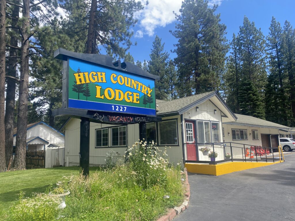
In this post I’m going to talk about Adventure Cycling Association’s western express route! Adventure Cycling Association is a great way to get into bikepacking because they have preplanned routes all over the United States. These routes have already been tested, and there is an abundance of information and tips from people who have already done it. In August 2023 I completed a 465-mile section from San Francisco to Austin, NV. I had to get back in time for XC preseason, but this route continues all the way to Pueblo, CO.
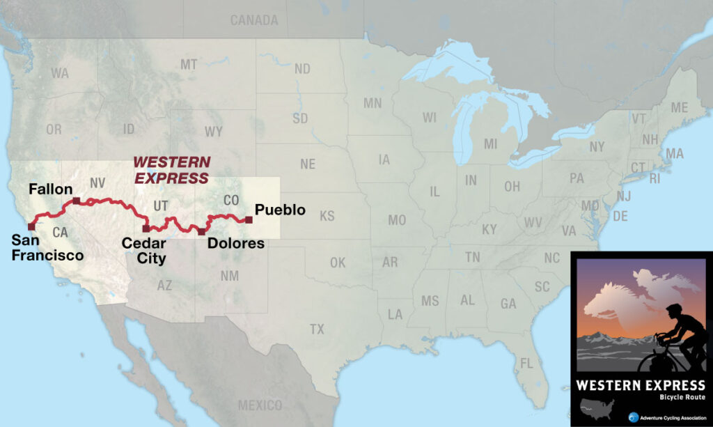
Here is a map of where I stopped each night.
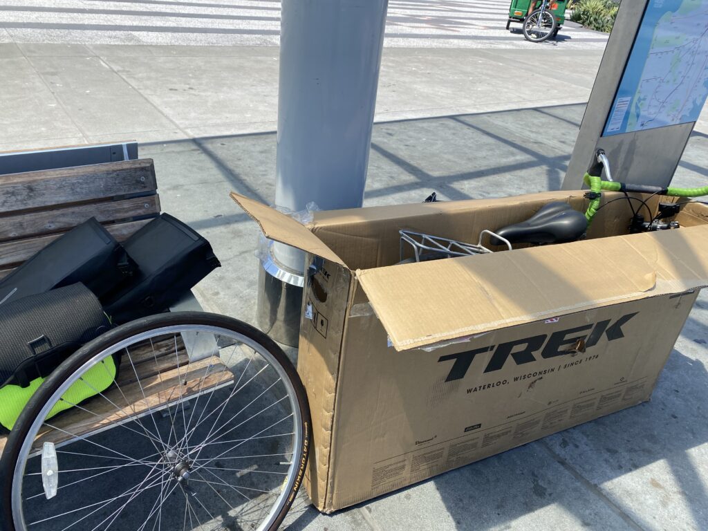
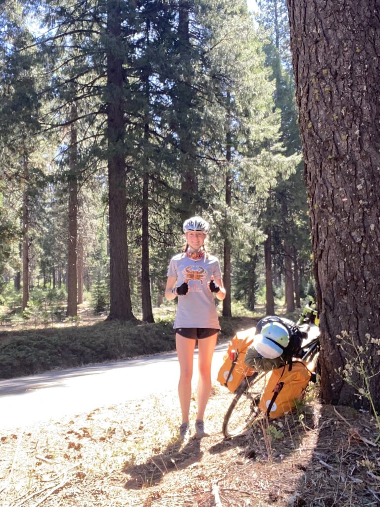
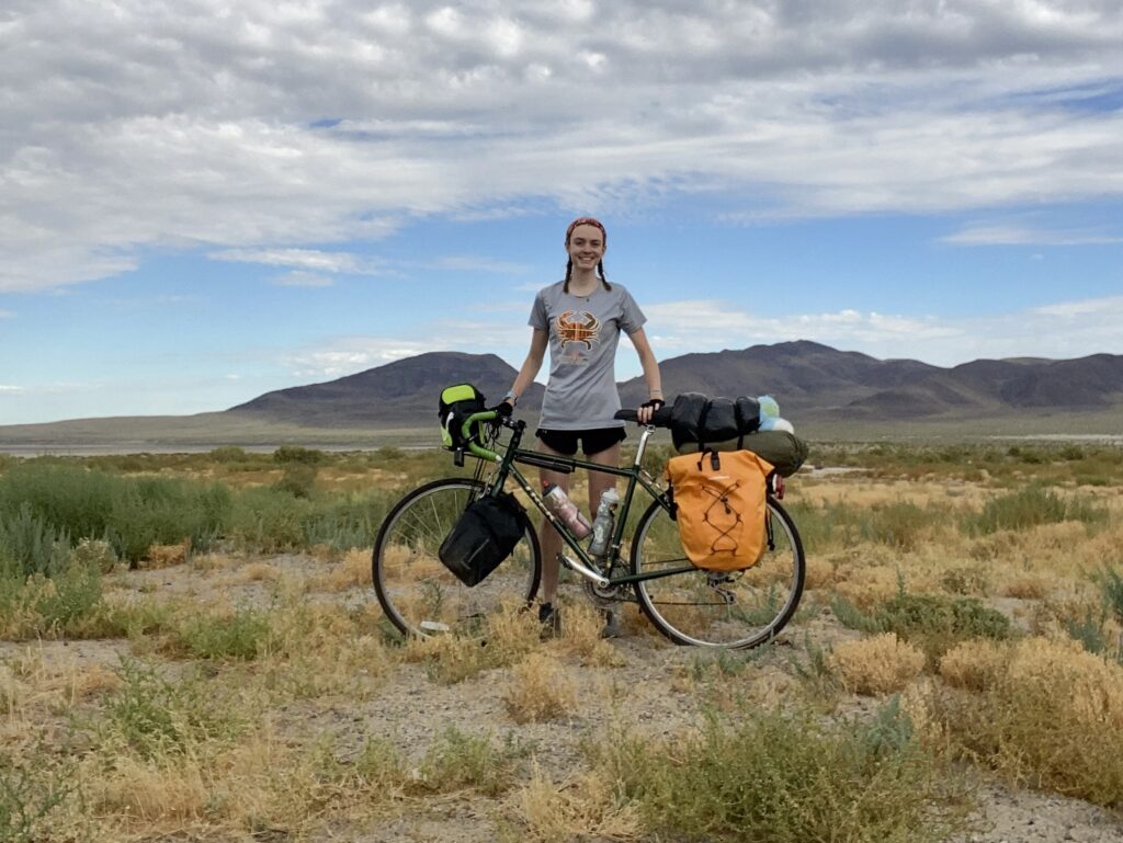
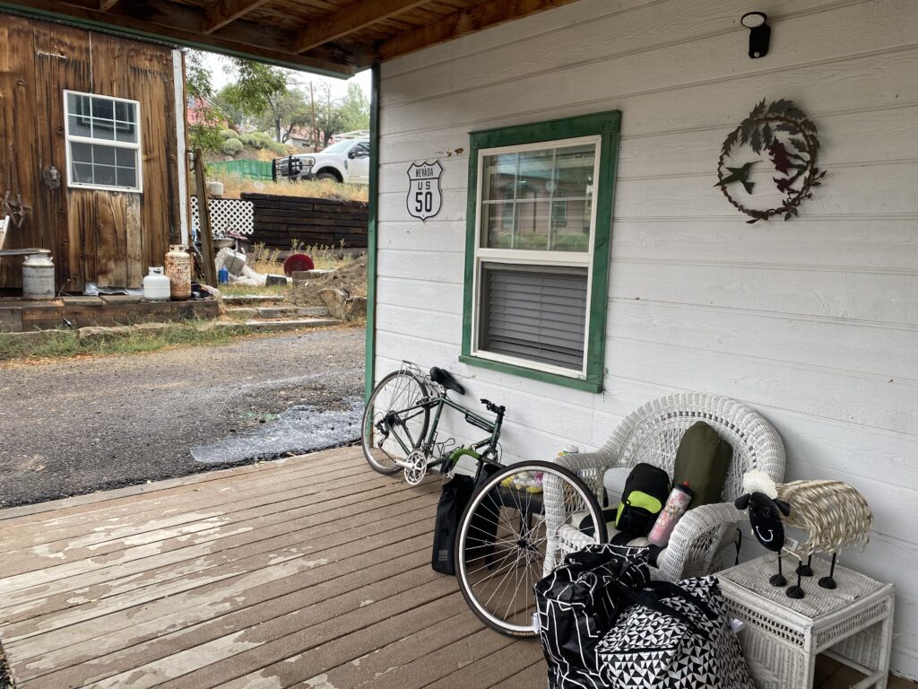
Before I left, I went for a trial ride with all my gear. It was honestly super heavy and the hill in my neighborhood was a struggle. I was a bit nervous but decided I would be fine and packed everything up anyway. I put my bike and the majority of my stuff into a cardboard bike box I got from the bike store I was working at (shoutout Family Bike Shop in Crofton, MD!). Most local bike shops will happily give you a free bike box if you ask, and many airlines count bike boxes as a checked bag. Everything did end up being fine, but after hiking the Appalachian trail and having more camping experience I would probably pack very differently.
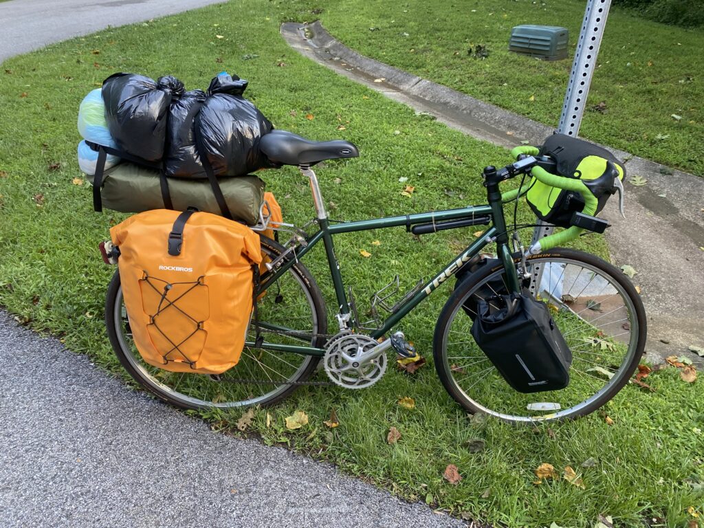
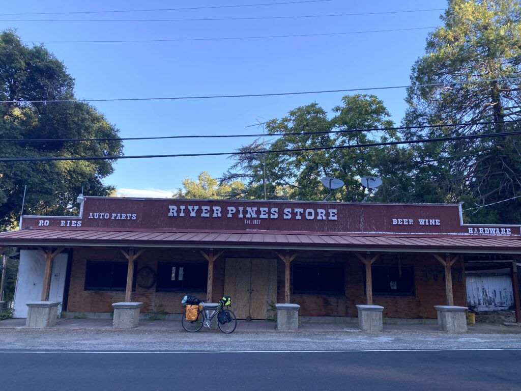
Here is a list of everything I would recommend. I linked some of the products I used and really liked. I’m not including what I brought and didn’t use (like running sneakers). I didn’t pack a cooking set which I was totally fine with so I’m not adding it. For a longer trip I definitely would have though. If you get sick of nature valley bars, slim jims, and peanut butter it might be a good idea. On this route there are plenty of places to resupply food, do laundry, charge your phone etc. The biggest concern is finding water in the desert, but I had no trouble with that.
Clothes
- 2 merino wool shirts
- 1 pair of shorts
- 1 pair of cycling shorts
- 2 pairs of socks
- undergarments
- warm layer
- buff
- cycling gloves
- flip flops
- bike shoes
- sunglasses
Toiletries
- sunscreen
- toothbrush
- toothpaste
- small towel
Bike/safety
- front panniers
- rear panniers
- helmet
- headlight
- tail light
- bike lock
- 3 spare tubes
- patch kit
- multitool
- chain lube
- chain lube towel
- small pump
- tire lever
- straps
- duct tape
- first aid kit (bandaids, neosporin, advil, hand sanitizer)
- pepper spray
Camping gear
- tent
- sleeping bag
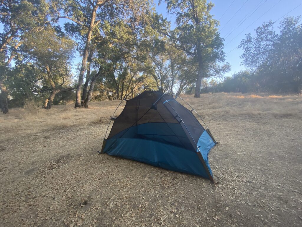
- sleeping pad (I didn’t bring one, but I should’ve)
- headlamp
- zip ties
- 2 bike water bottles
- 2 larger water bottles
- nuun
- spork
- book/kindle
- plastic bags
- maps
Technology
- phone charger and block
- portable charger
- garmin inreach (satellite texting and sos)
- garmin watch + charger
Day 1
28 miles – 1,286 ft elevation gain
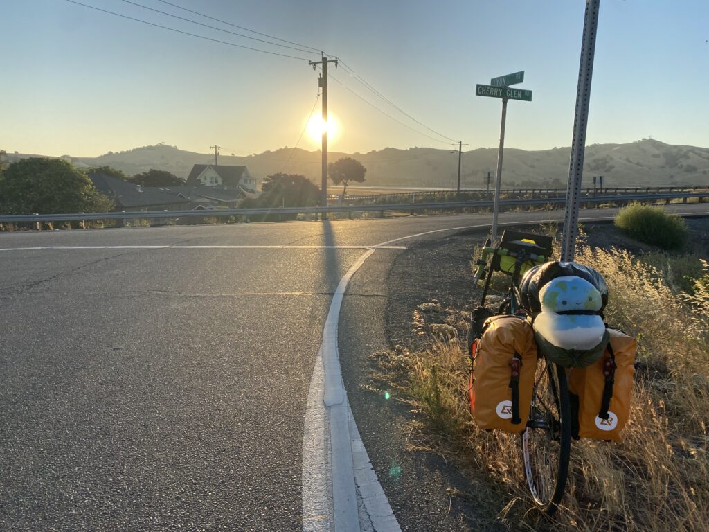
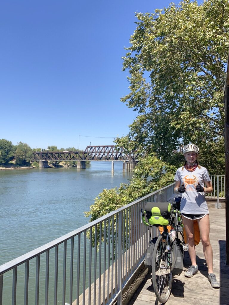
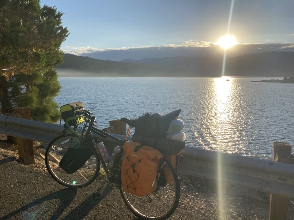
I landed in San Francisco and a very joyous man helped me drag my bike box across the airport. I arrived at the ferry terminal and put my bike back together while I waited for the ferry to Vallejo. One woman came up to me and asked all about my trip and quickly said something along the lines of “biking from here to Lake Tahoe is impossible. It has never been done and you will die”. That made me quite nervous, but I knew that wasn’t true because I was following a planned route. She also made a bunch of racist comments about the areas I was planning on going through and wouldn’t leave me alone (clearly not a person I should take advice from). Thankfully a nice couple intervened and invited me to sit with them on the ferry, and they told me about their hiking plans in Yosemite. That was the only person I had a bad interaction with. It was around 3:30pm when I finally started biking and I cut the day short because I was exhausted.
Day 2
88 miles – 1,706 ft elevation gain
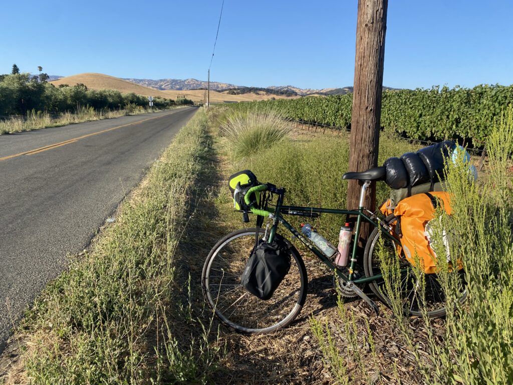
I tried to make up the distance I missed the day before, and while I was successful, I was very tired. I decided to stop following the plan I had made for myself before starting and made my daily plan when I woke up each day.
I went by lots of vineyards and ranches. It was very pretty.
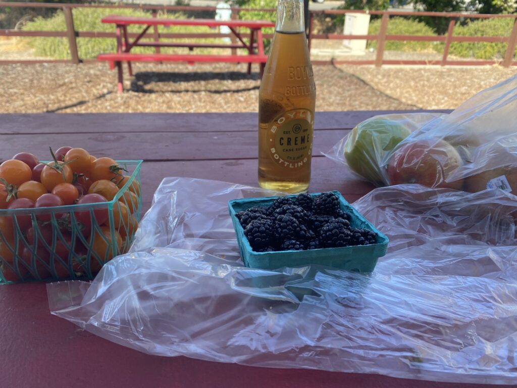
I stopped at a farm stand and went a little crazy. I made it to Sacramento and spent a while on the amazing bike paths there! It was mostly shaded with plenty of benches to take breaks.
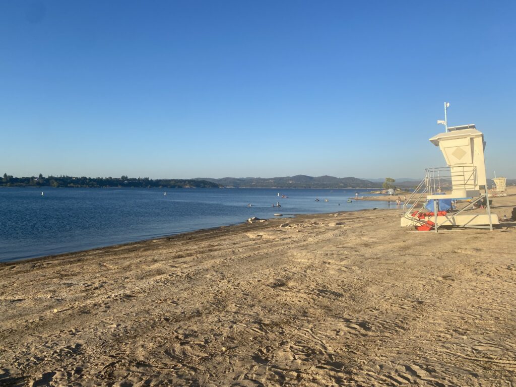
The campground on Folsom Lake was awesome! Folsom Lake was named after Folsom State Prison which is where Johnny Cash sang “Folsom Prison Blues”. Pretty cool. I actually got lost on the Johnny Cash Trail at the end of the day and it was quite a while before realizing that I wasn’t even supposed to be on the Johnny Cash Trail. I guess that’s what happens when you use paper maps.
Day 3
40 miles – 2,251 ft elevation gain
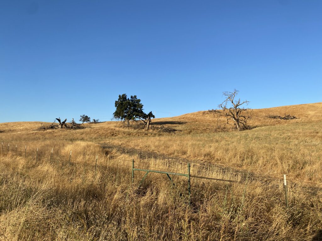
My legs were dead, but it was super pretty! Golden fields and vineyards all day.
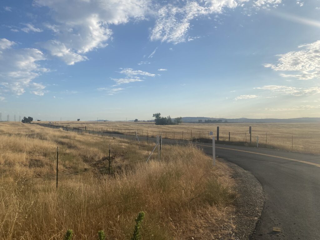
Day 4
43 miles – 5,709 ft elevation gain
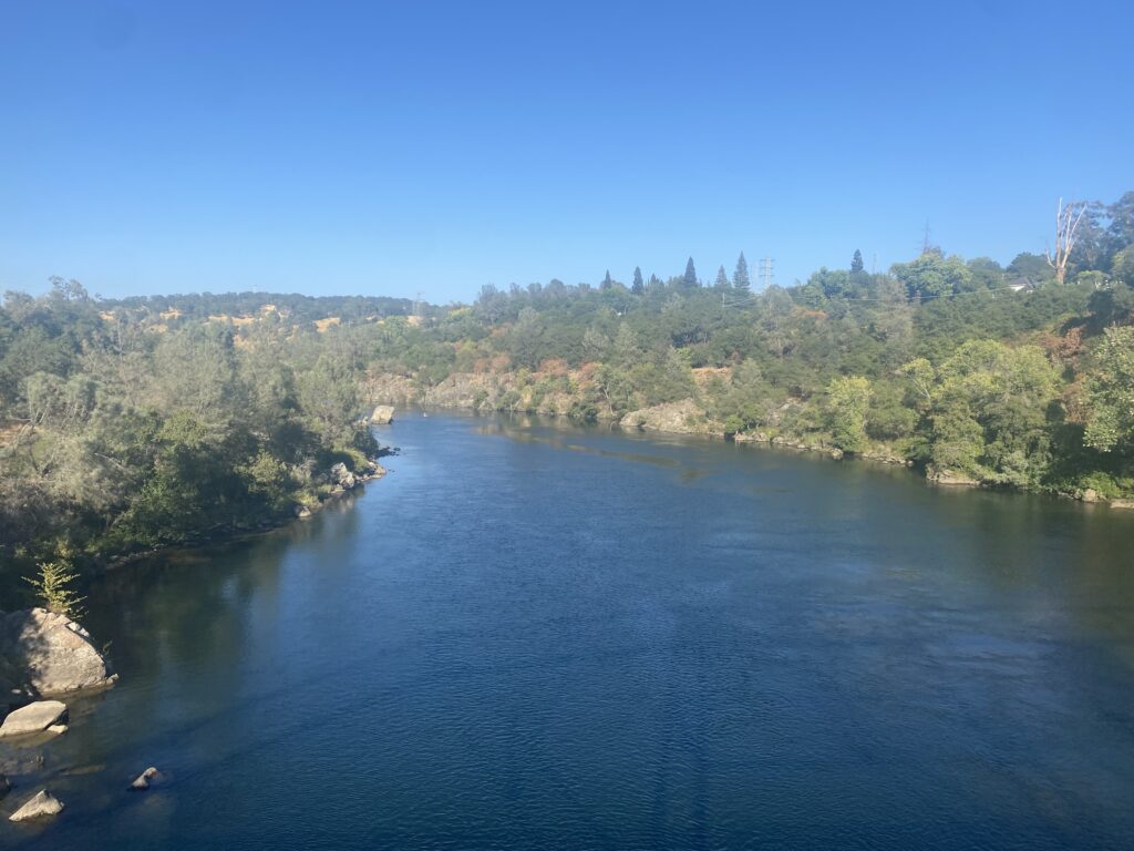
Early on in day the terrain became much more mountainous and forested as I entered the Sierra Nevada range.
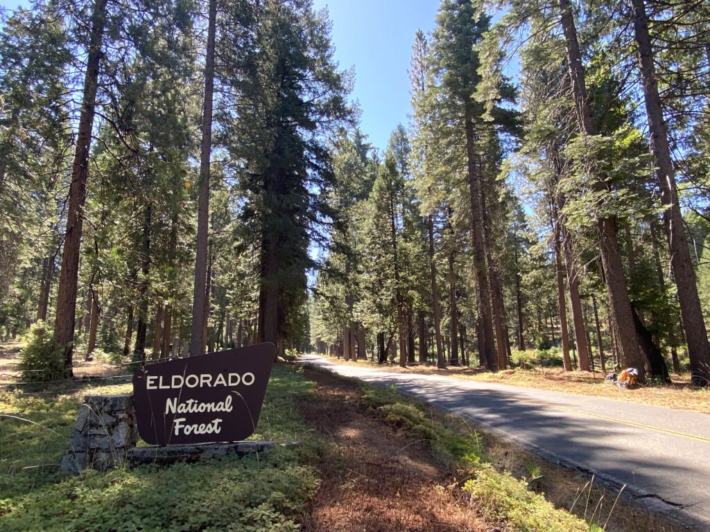
I was super happy to be in Eldorado National Forest with lots of shade. Seeing that Lake Tahoe was only 65 miles away was exciting.
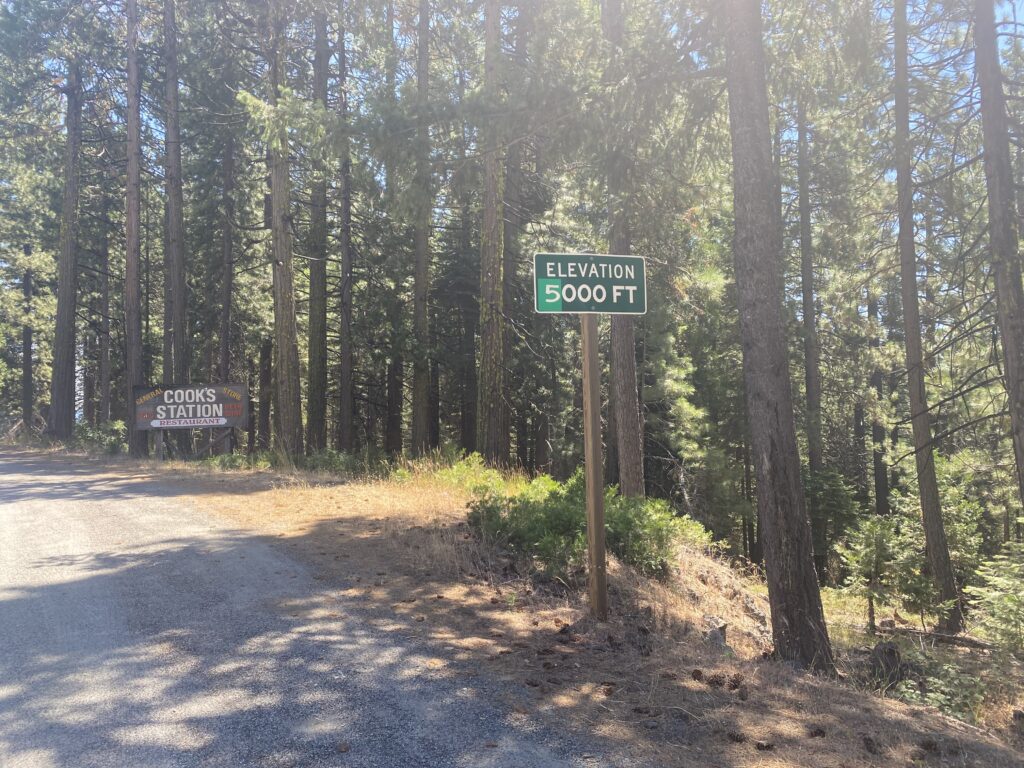
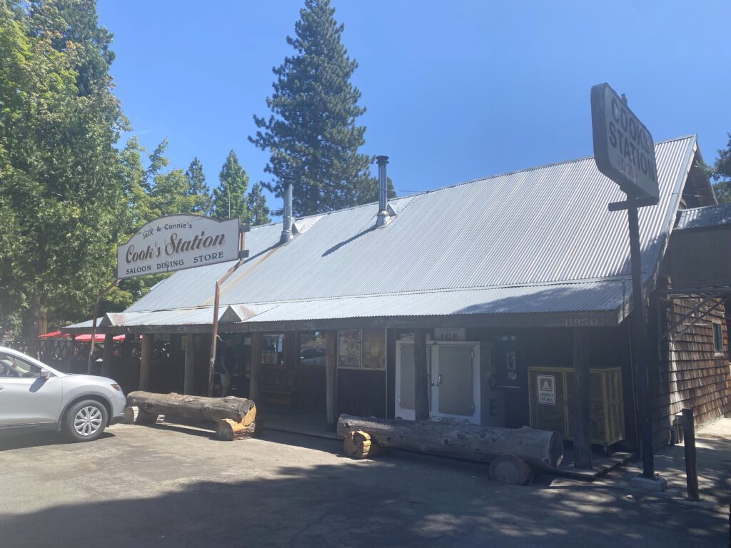
The elevation gain was insane. I pushed my bike for a while. I made it to Cook’s Station which is a staple on this route, and they gave me free hot chocolate. I also engorged in a huge bowl of chili and a hot dog. My waiter thought I was insane for “exercising immediately after a meal like that!”
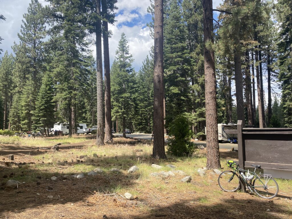
After a long day of biking/pushing my bike up hills I thought I had finally made it to my campground on Lower Bear River Reservoir. When I walked into the campground office, they said they were completely full, but the campground 3 miles further around the lake miiiiggghhht have a spot. The idea of biking 3 more miles (on a rocky dirt road) to a campsite that was not guaranteed was not ideal, but I pushed on. Immediately as I got back on my bike it started downpouring. After such a beautiful day it came out of nowhere. This downpour lasted exclusively for these 3 miles. When I walked into the office the rain literally stopped. Thankfully I got the last campsite.
Day 5
54 miles – 4,560 ft elevation gain
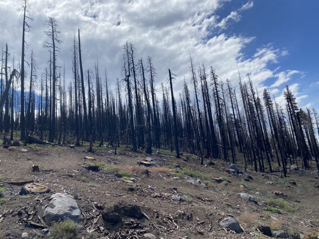
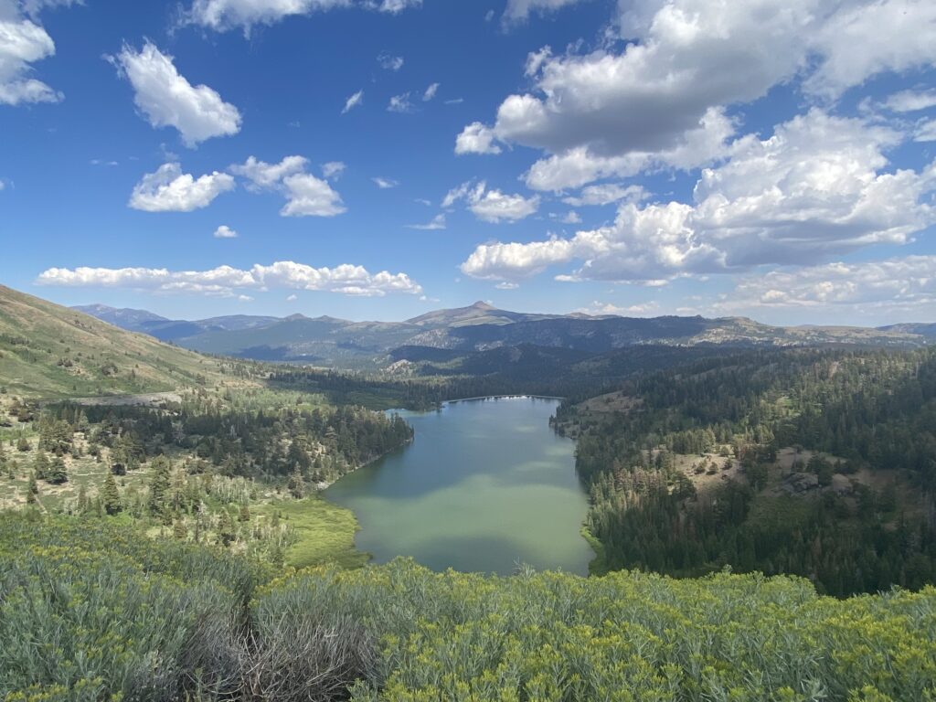
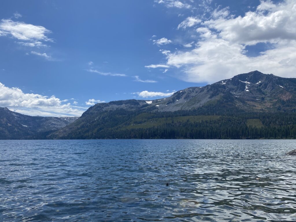
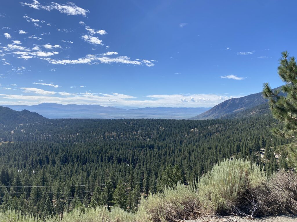
Another big day of climbing, especially in the morning. Amazing views all day. The wildfires in California are no joke though. There were huge sections of burned trees.
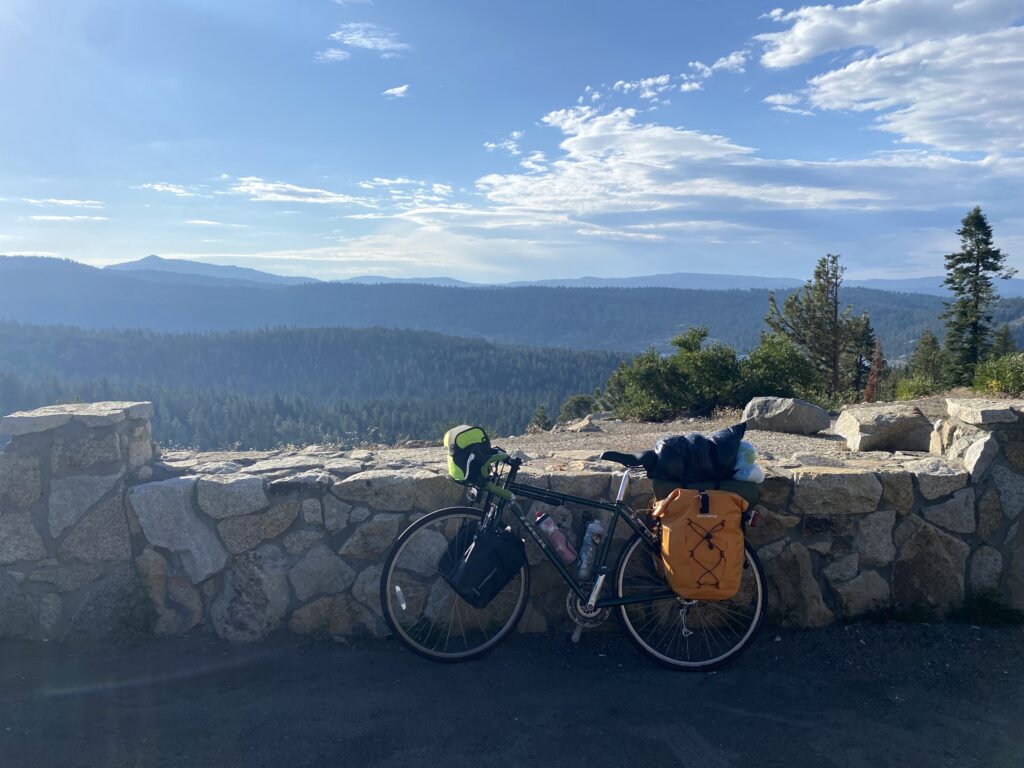
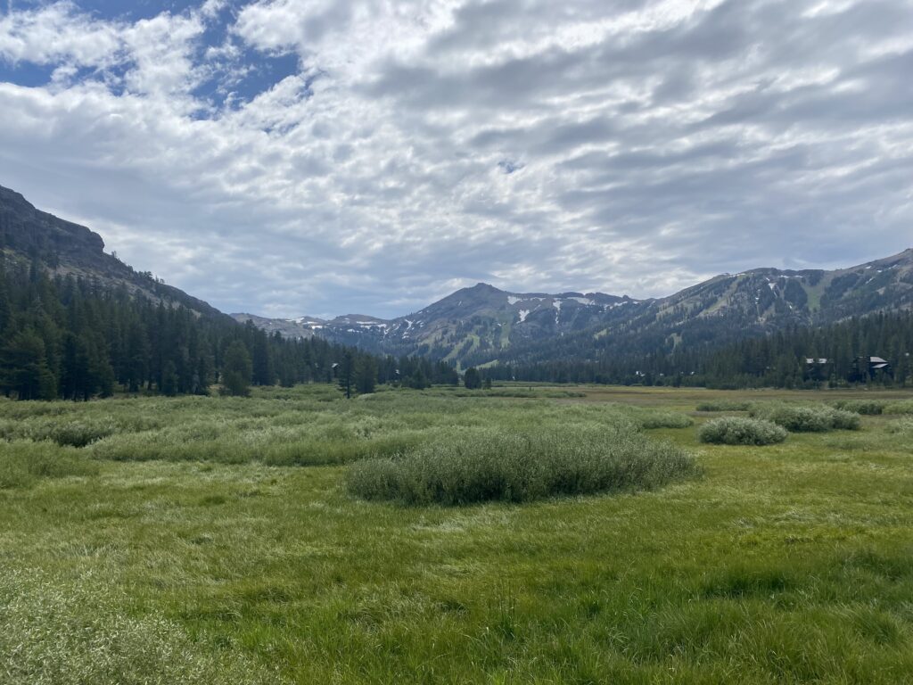
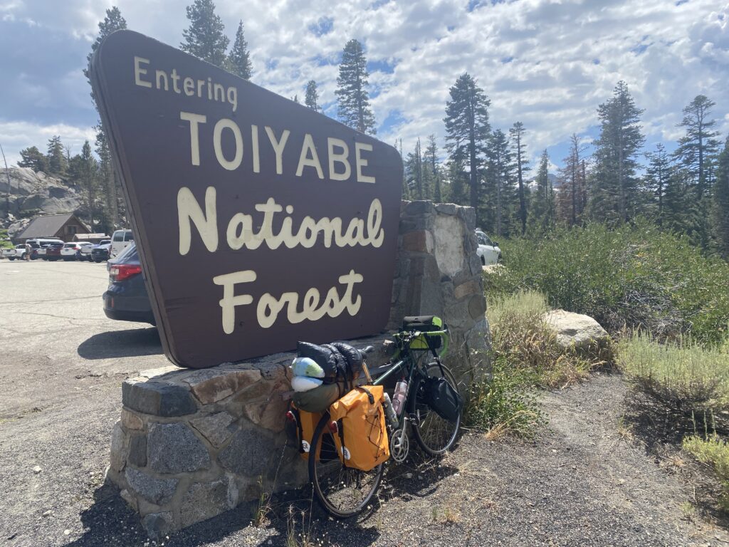
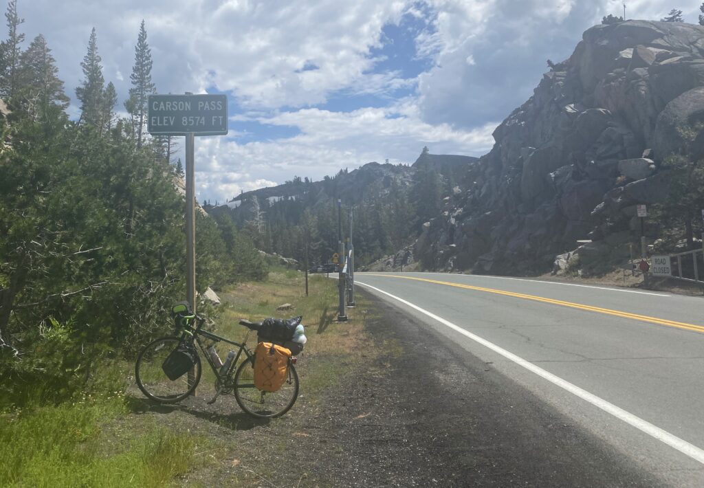
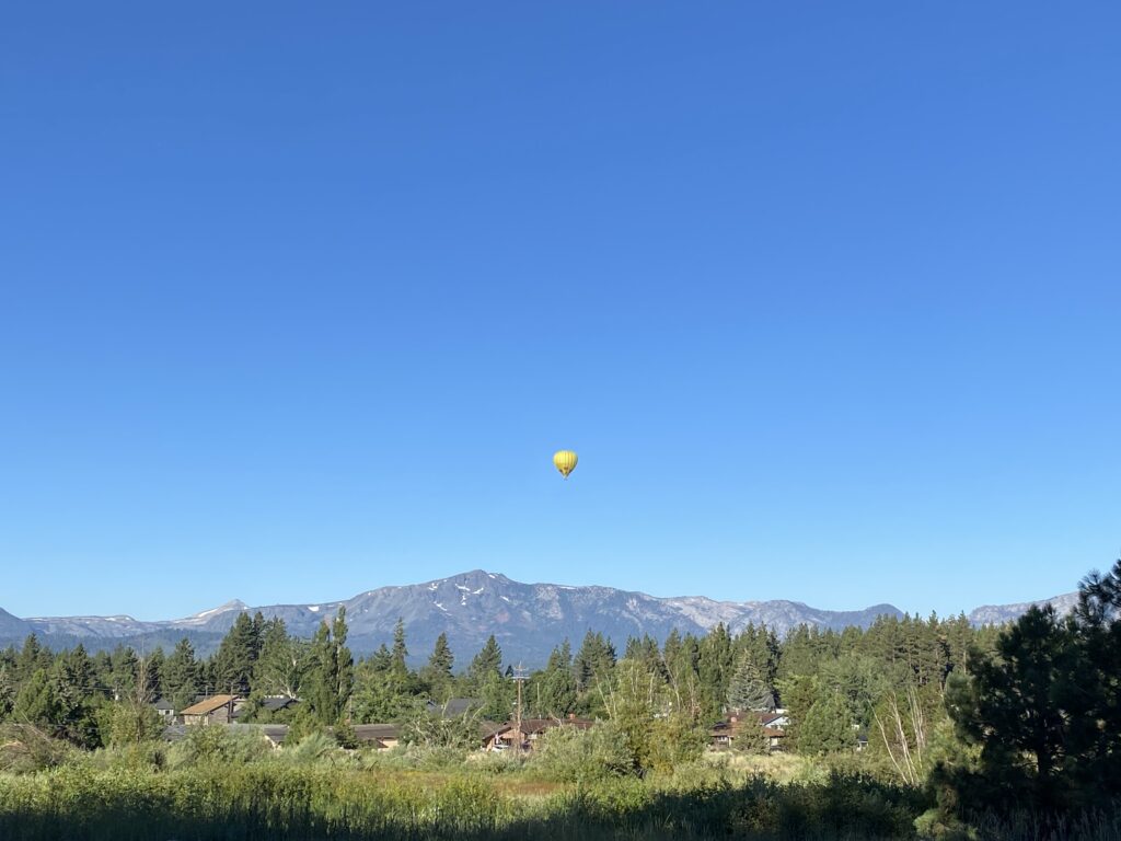
I really liked the area around Kirkwood. The area is beautiful, and everyone was outside. I was passed by multiple cyclists, even some runners, but that’s ok. I made it to Toiyabe National Forest and up Carson’s Pass, which was the highest point of the trip (8574 ft)! On the way down I felt like Walter in the skateboarding scene from the Secret Life of Walter Mitty. It was awesome.
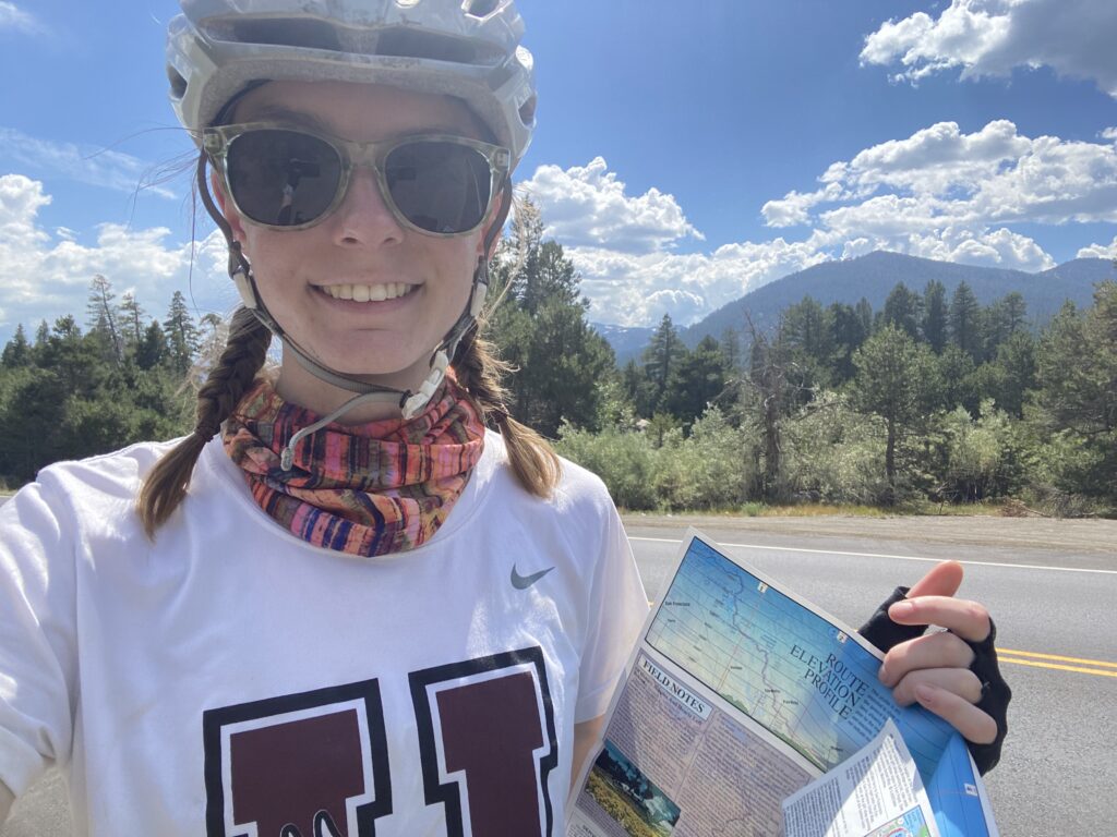
Paper maps are fun. Adventure Cycling Association makes them for all of their routes.
Day 6
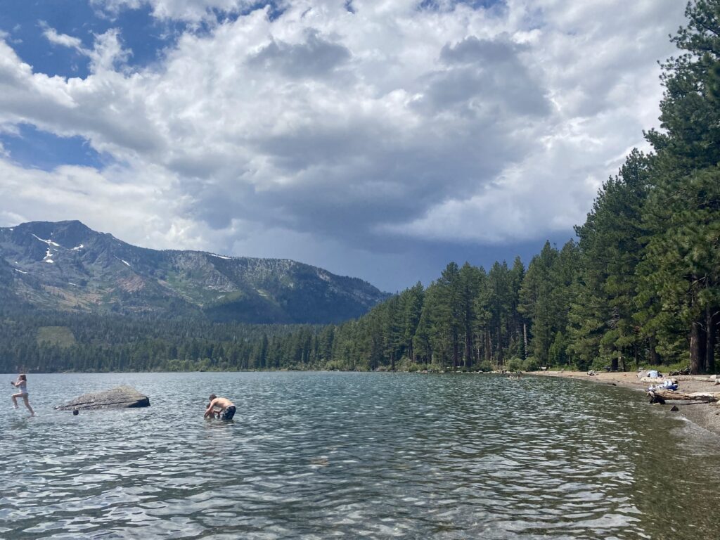
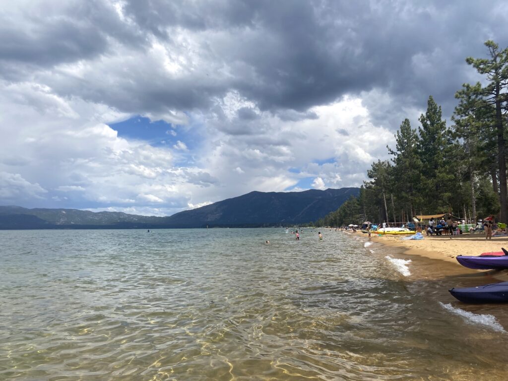
I spent the day relaxing and exploring South Lake Tahoe because my legs were dead.
Lake Tahoe was awesome but Fallen Leaf Lake was slightly prettier in my opinion. It was also way less crowded. Biking around without my gear felt so easy.
Day 7
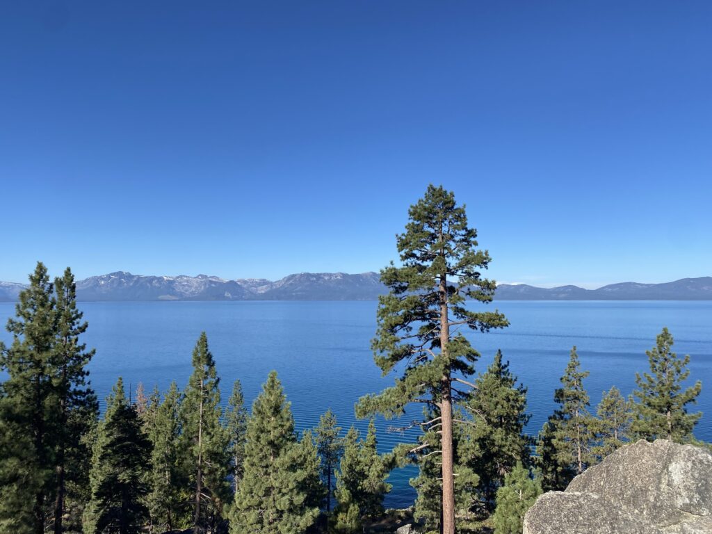
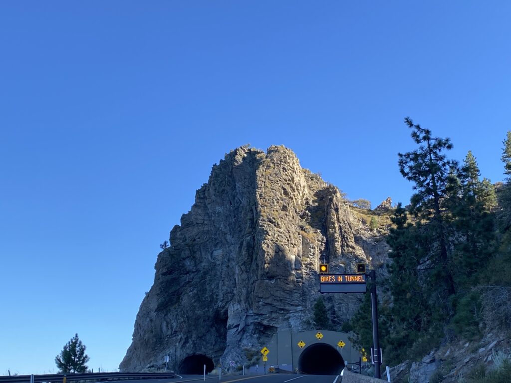
47 miles – 1,700 ft elevation gain
Biking around Lake Tahoe was beautiful. I went through a cool tunnel too.
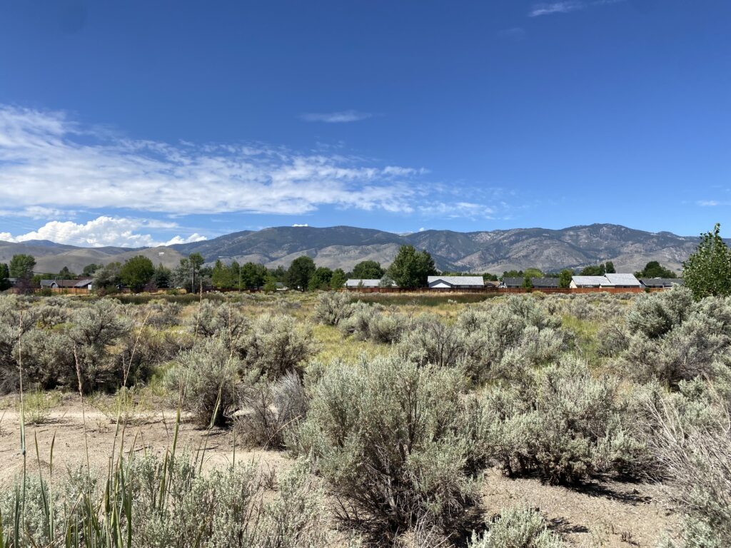
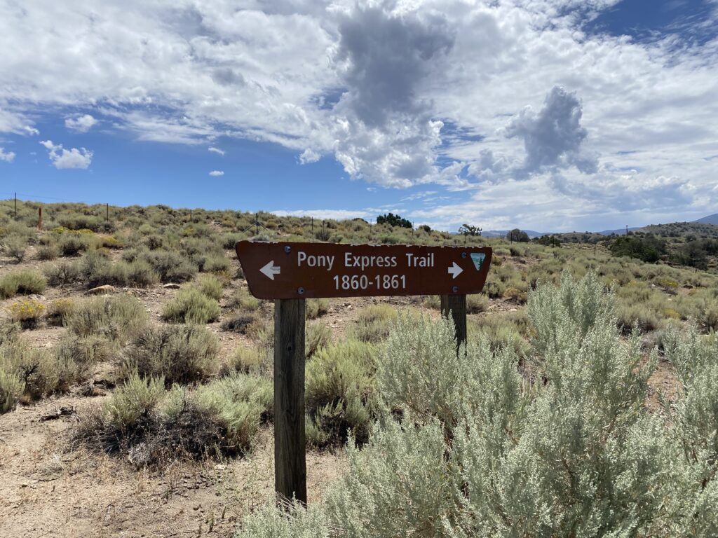
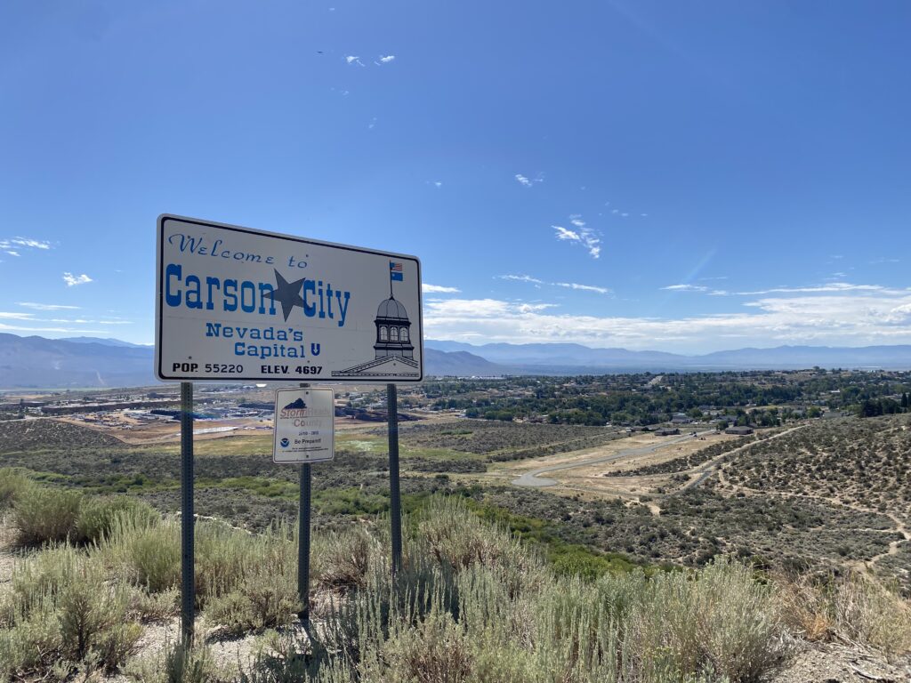
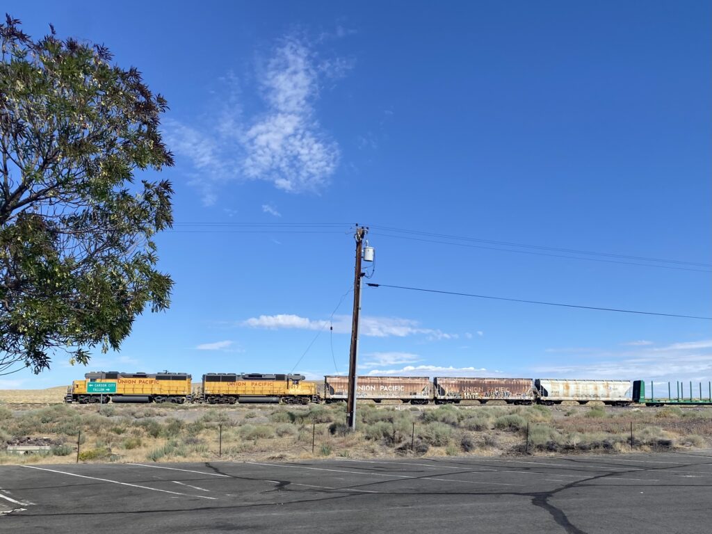
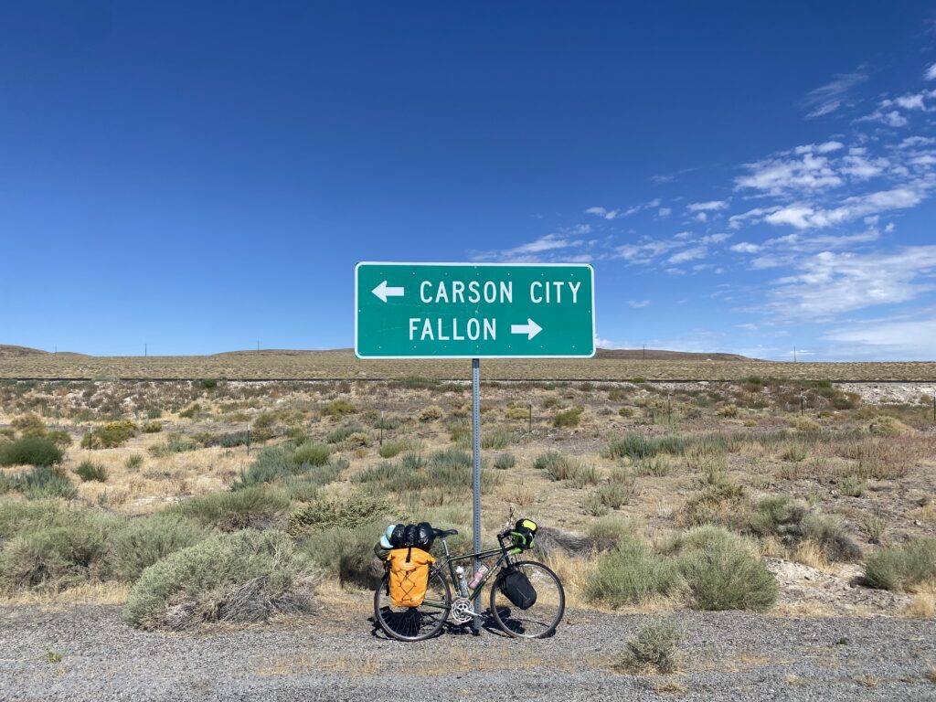
Made it to Nevada! From here until Austin, I loosely followed the Pony Express Trail. I got lost in Carson City but made it out.
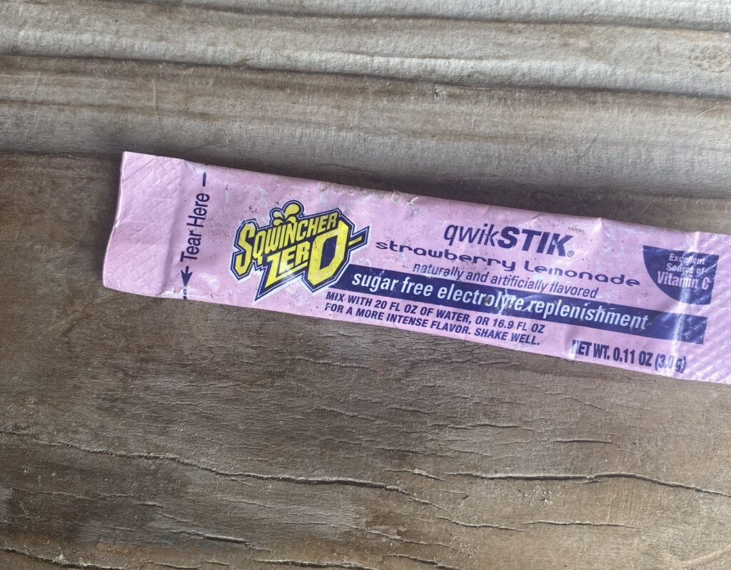
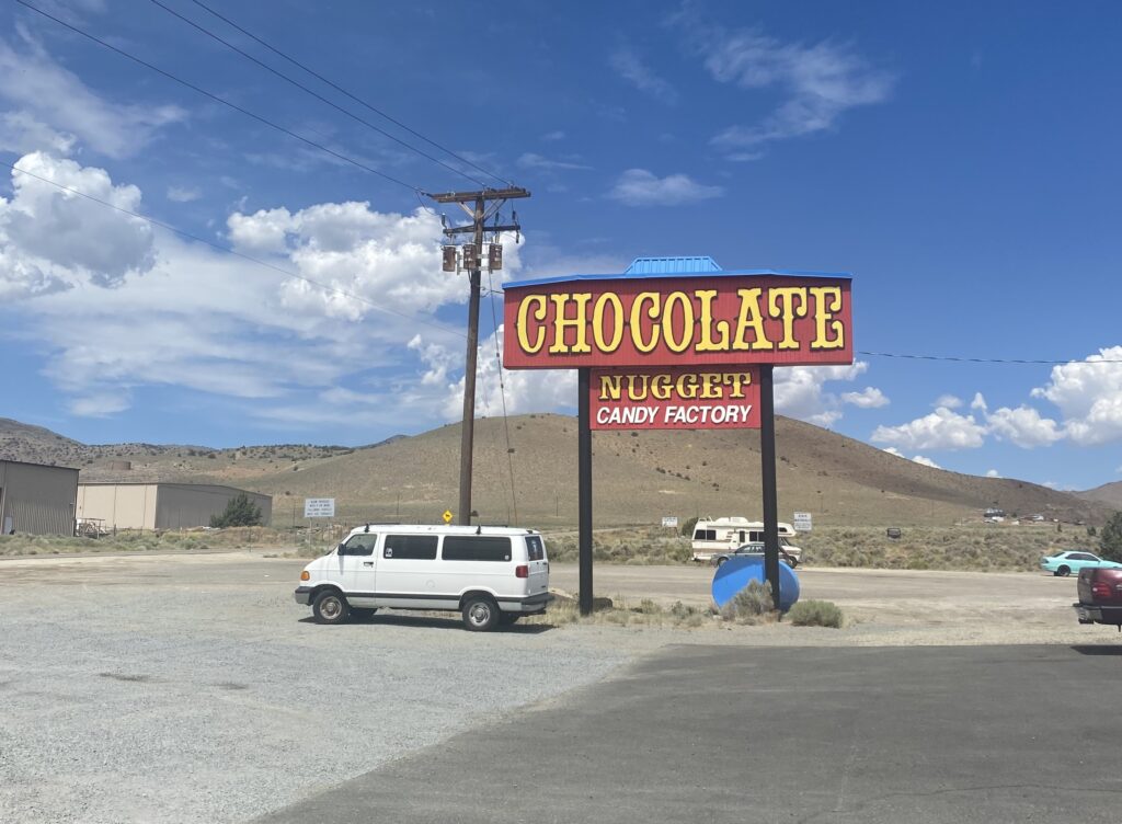
Someone threw electrolyte powder at me from their car as they drove by which was a bit odd. It was hot I suppose. I also saw a sign for the extremely out of place Chocolate Nugget Factory and decided I needed to stop in.
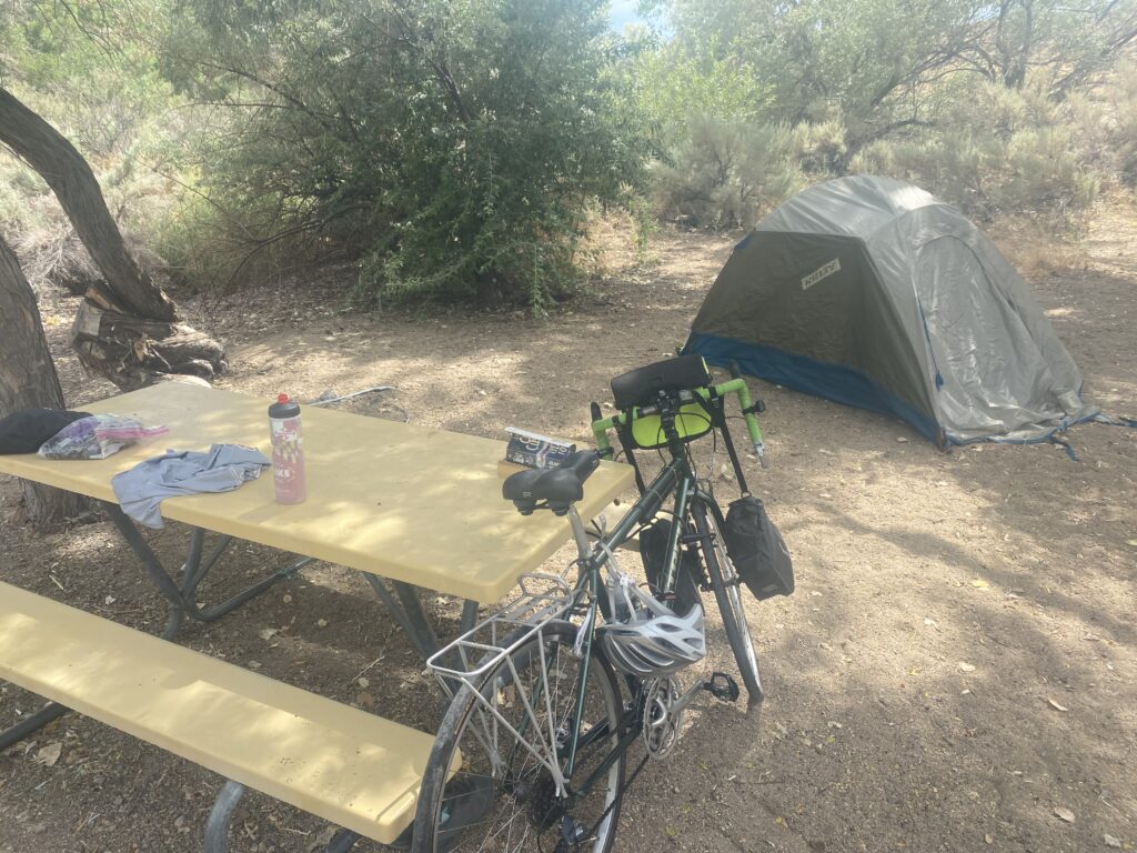
This campground in Dayton State Park was very quiet and peaceful.
Day 8
52 miles – 666 ft elevation gain
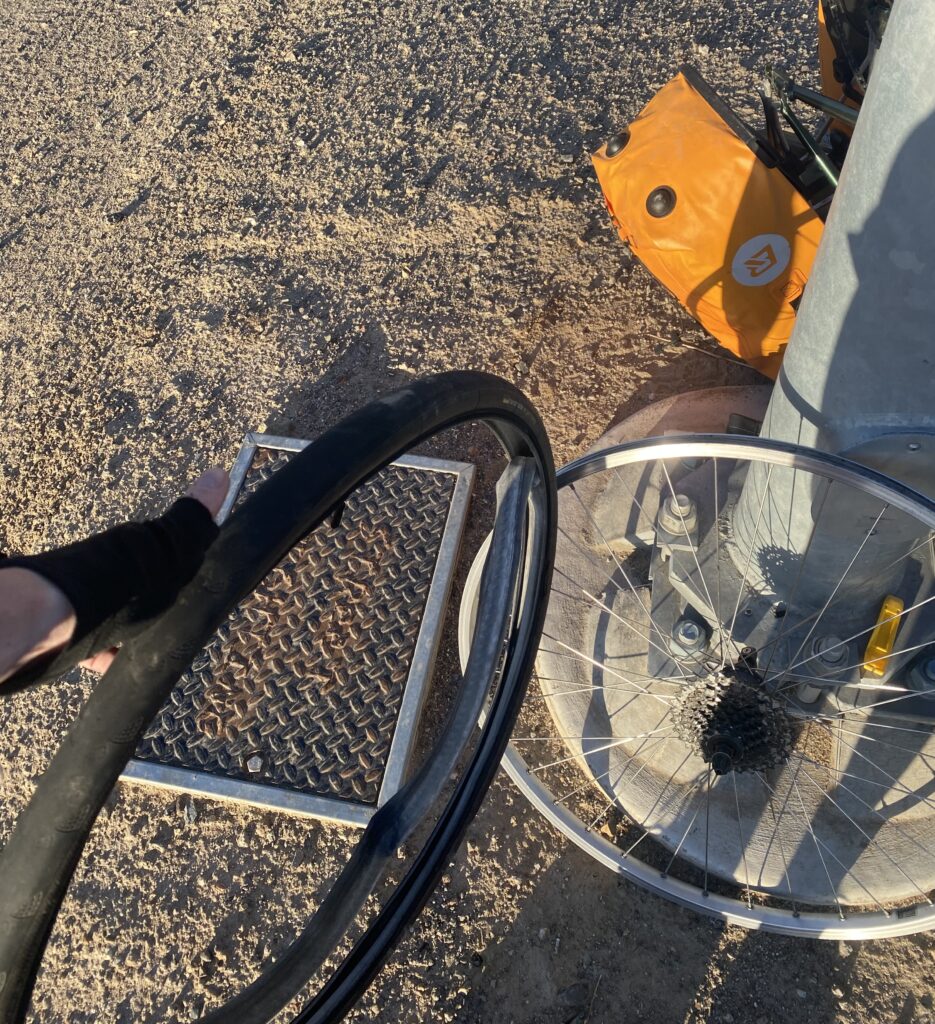
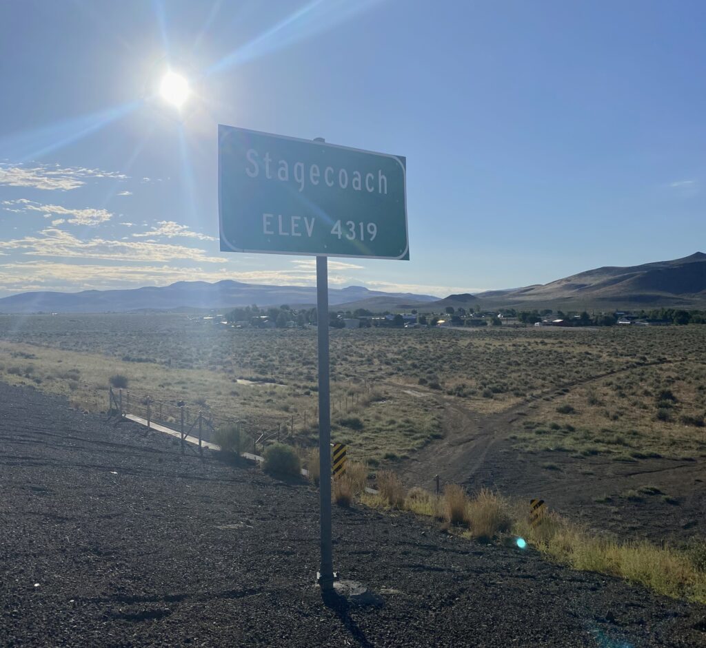
I got a flat after a few miles, but I was able to change it pretty quickly. I passed the town of Stagecoach but unfortunately there was no music festival, only dry shrubs.
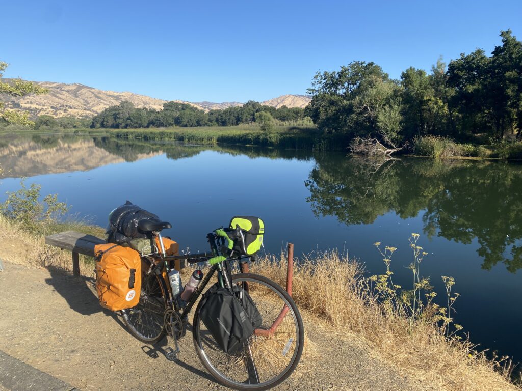
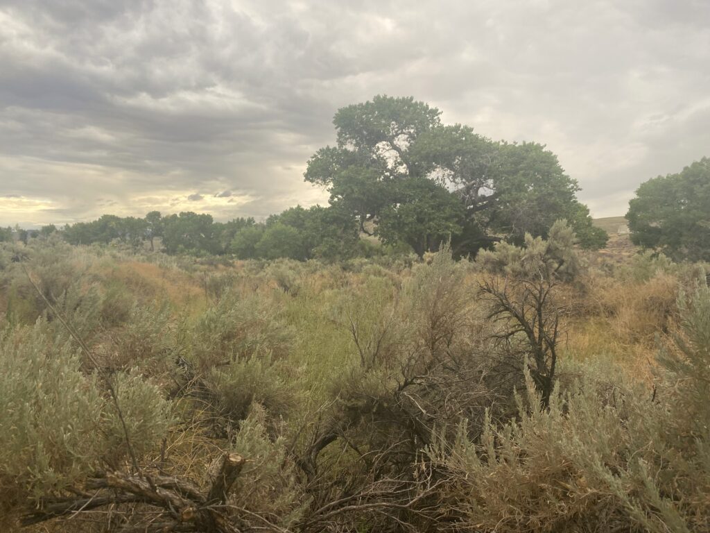
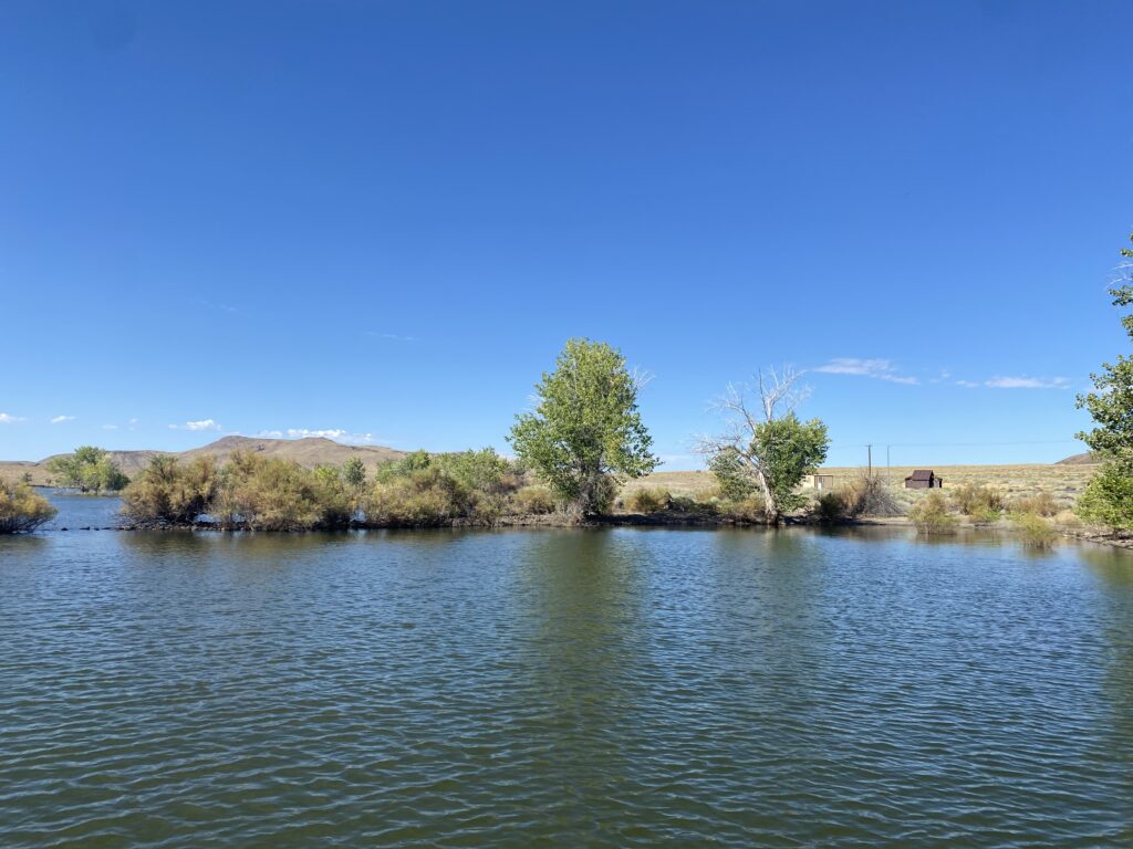
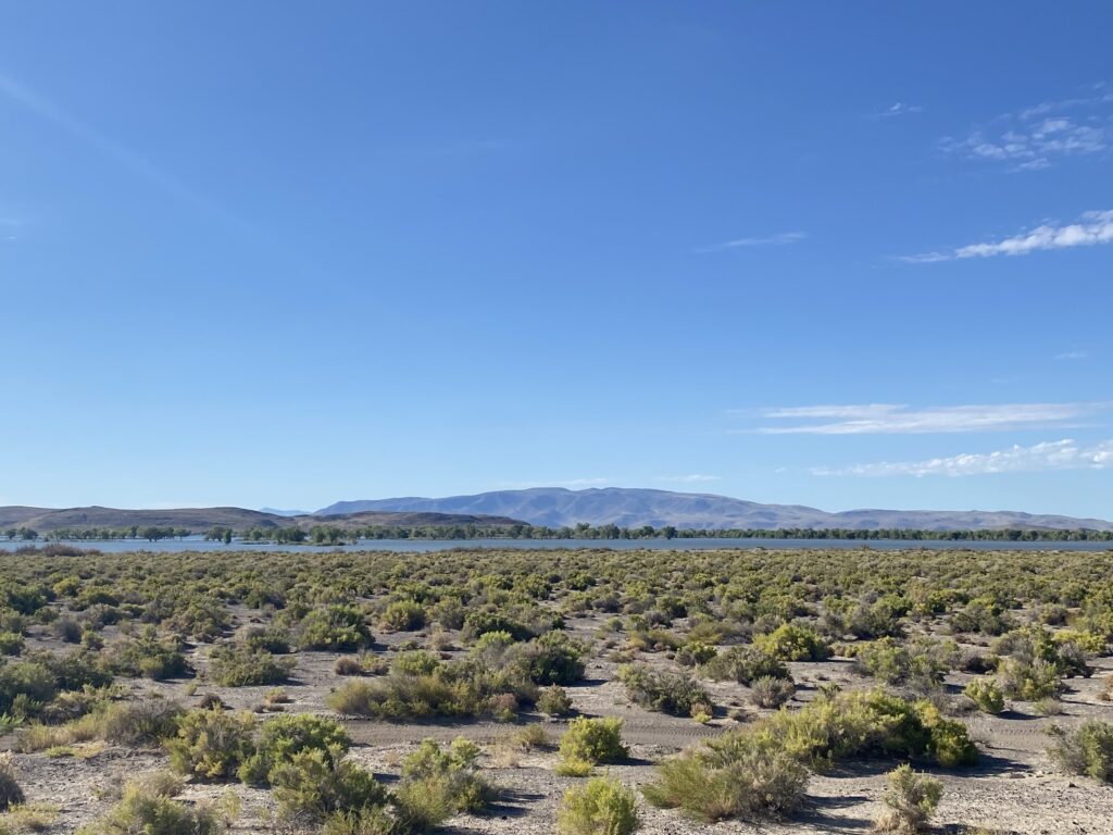
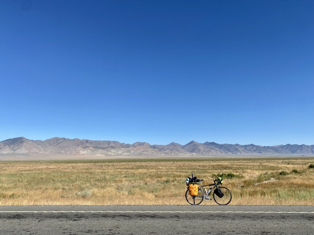
The road was flat which was a nice change after the Sierra Nevada range. I spent a while at the Lahontan Reservoir and met a nice park ranger. Halfway through the day the road started to get significantly less busy, and civilization started to disappear.
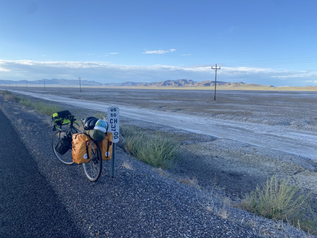
Day 9
49 miles – 1,316 ft elevation gain
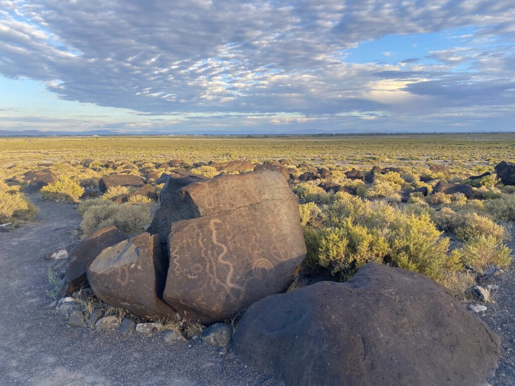
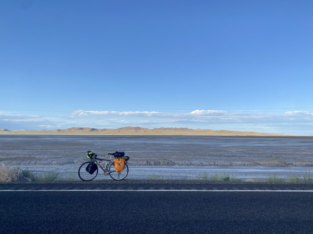
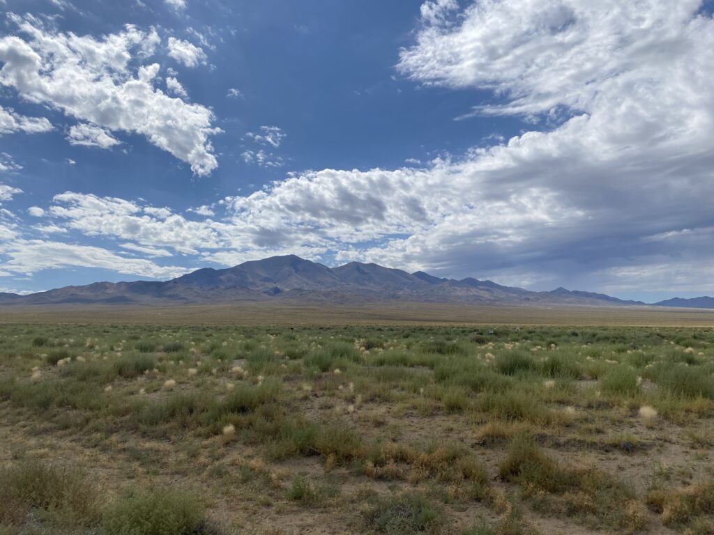
I started my day by coming across a trail leading to ancient petroglyphs. I obviously had to stop and look around. The rest of my morning was spent cycling next to salt flats.
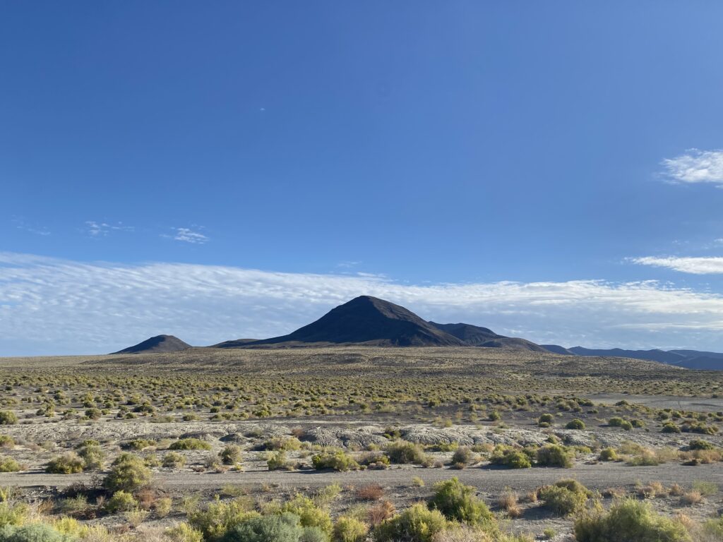
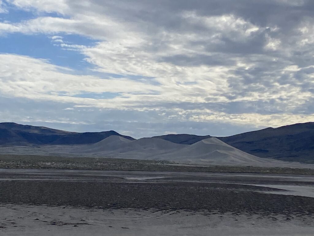
I passed by a large pile of sand which is apparently called sand mountain.
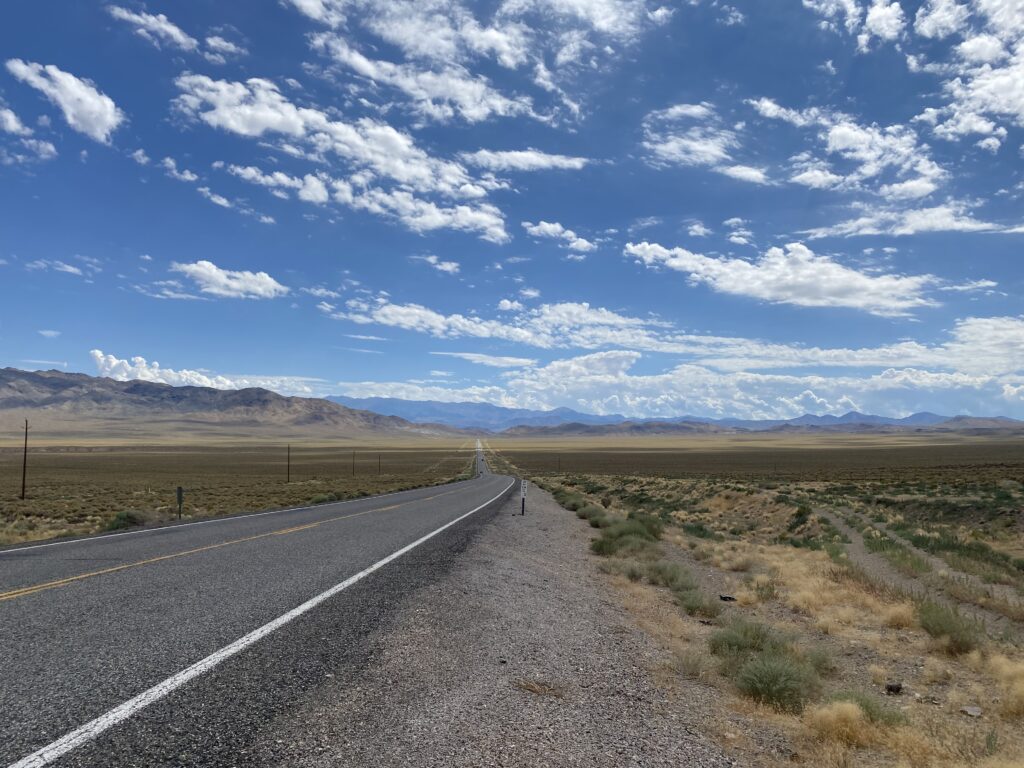
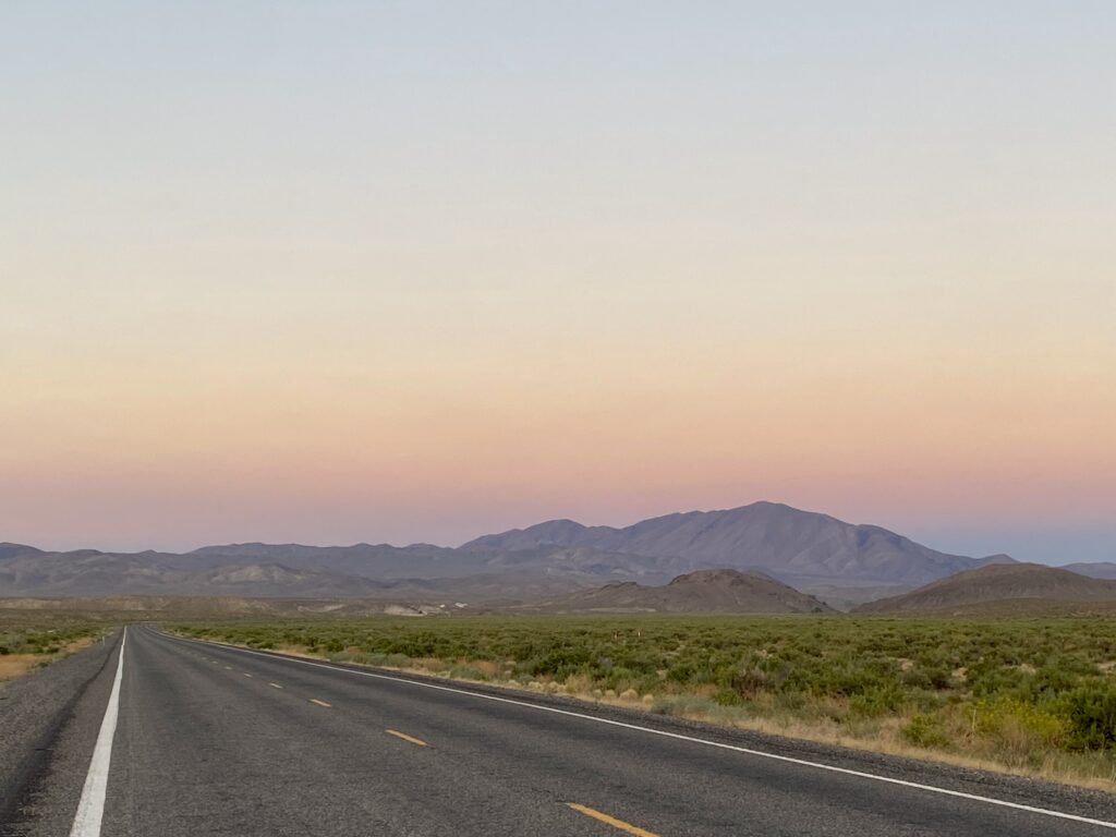
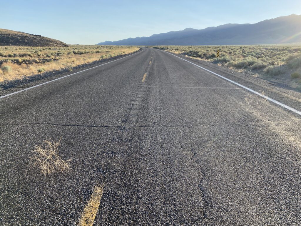
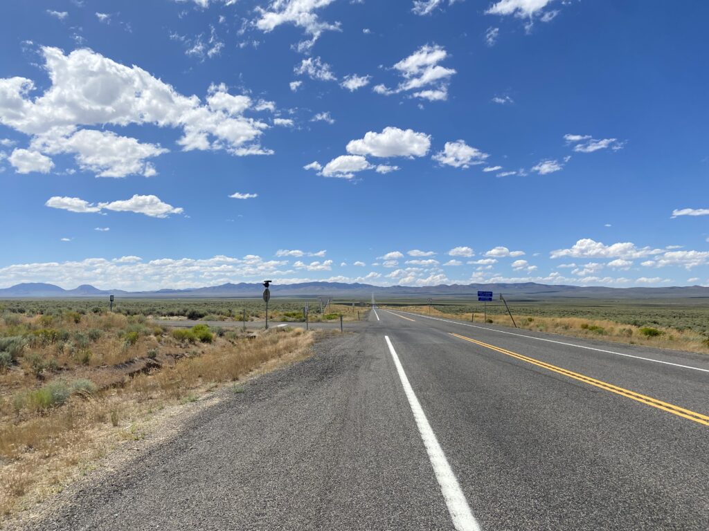
The road goes on forever and ever and ever.
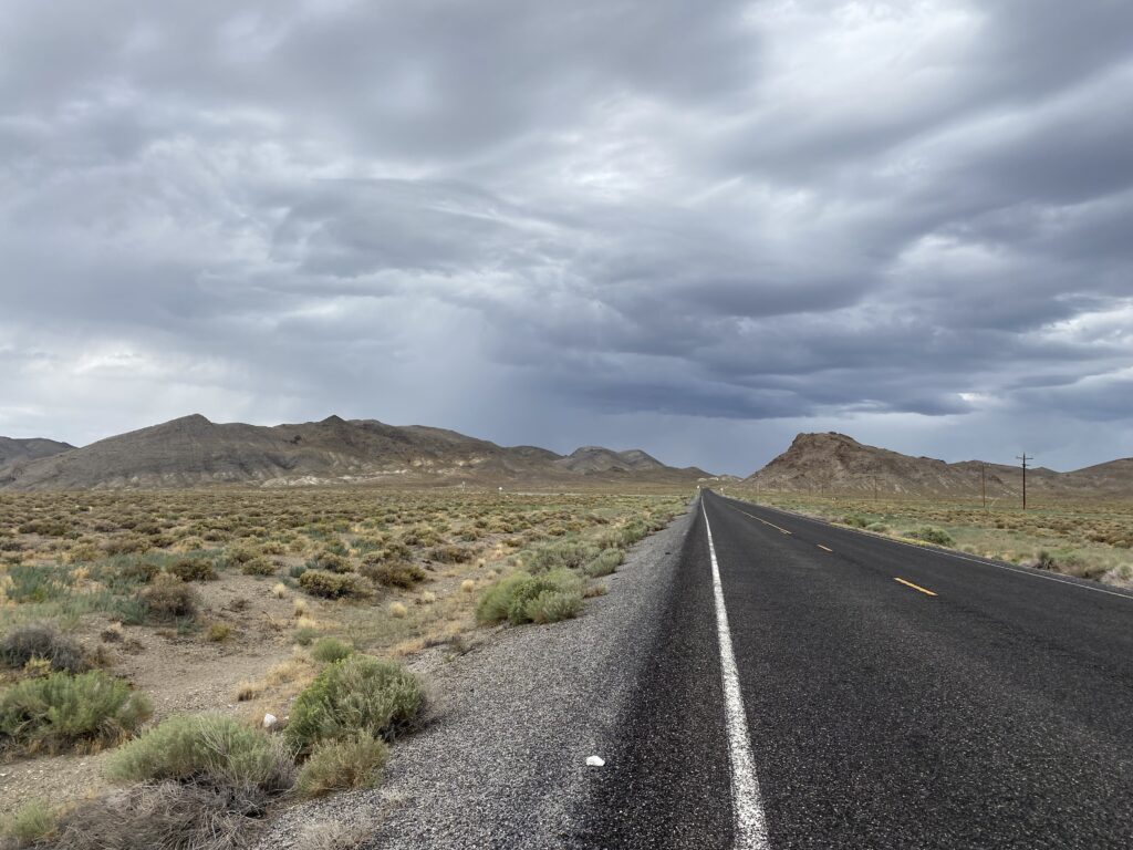
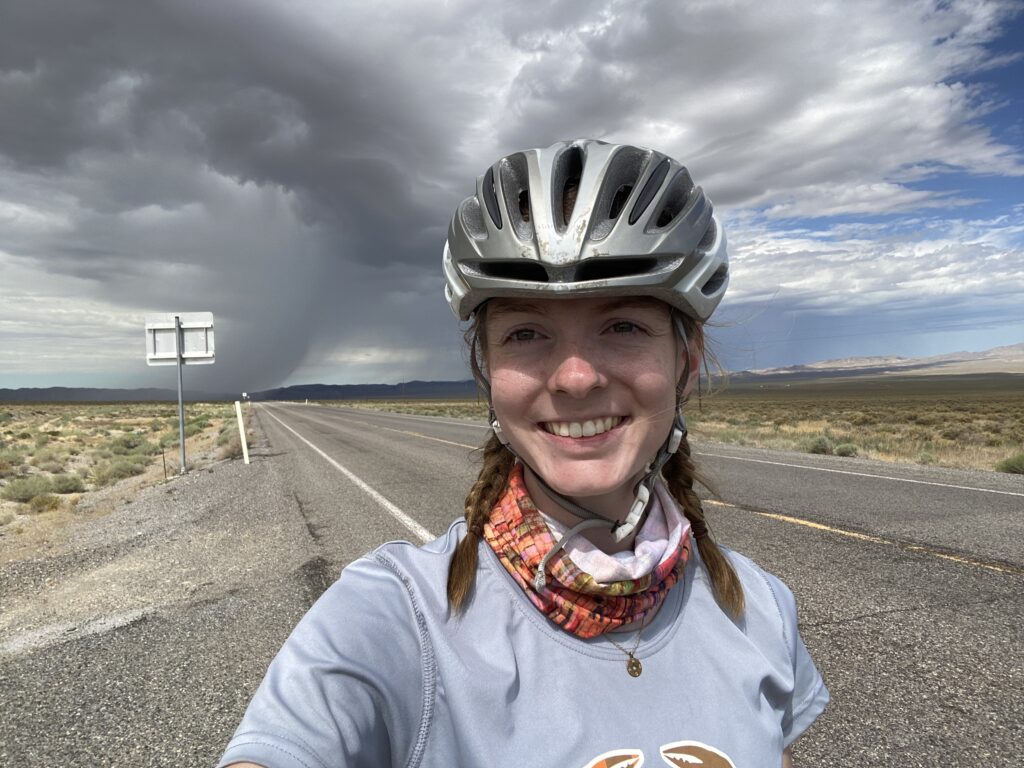
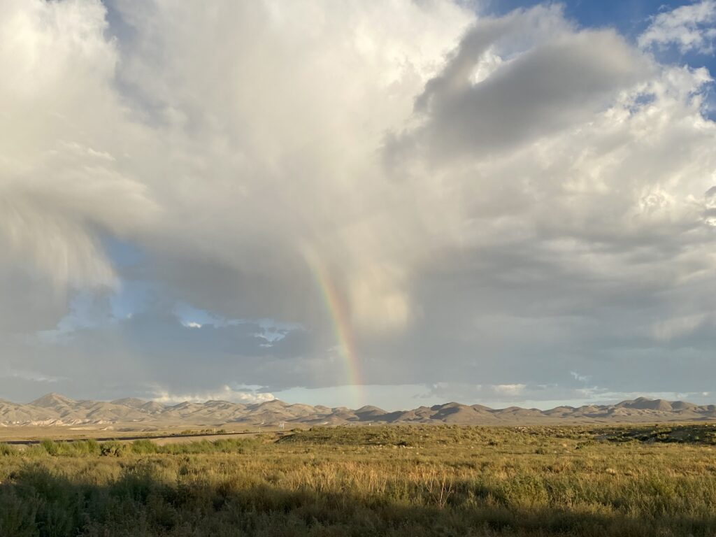
I was in a race with a mini tornado/rain cloud or whatever for 10 miles. I won.
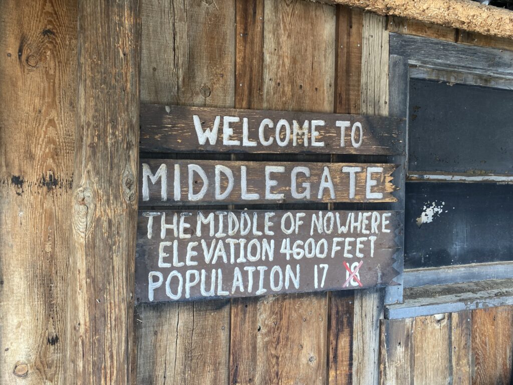
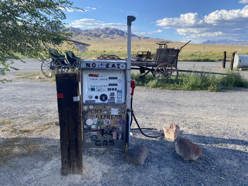
Middlegate station is awesome. It is a gas station and restaurant in the middle of nowhere. I recently found out it is also super close to where my pal Rachel does her geology research!
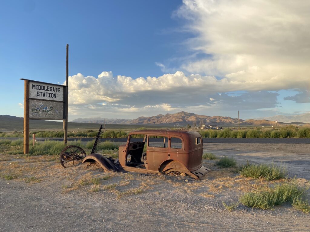
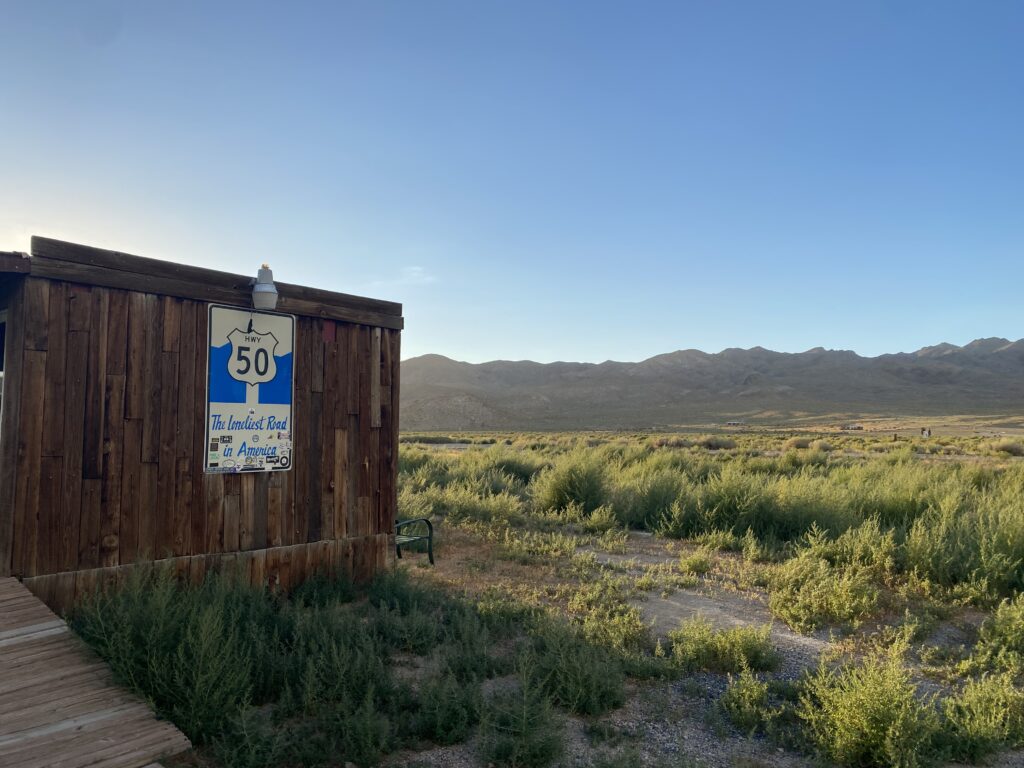
Route 50 across Nevada and the Dalton Highway both claim to be “the loneliest road in America” but I still think the Dalton Highway takes the win.
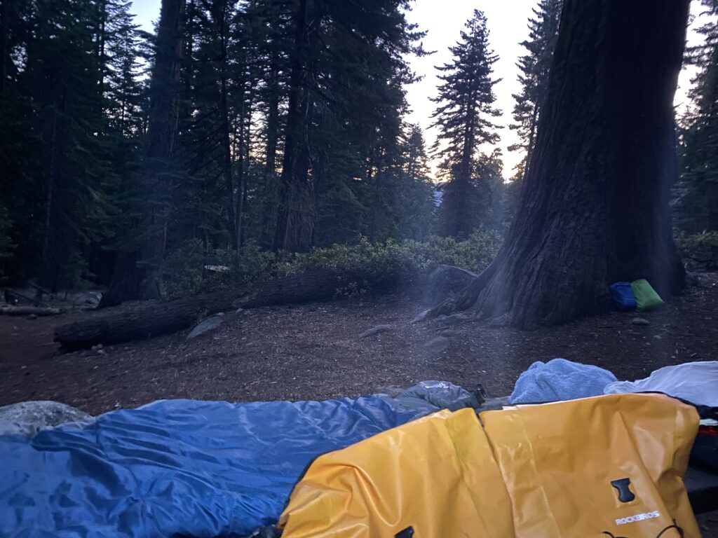
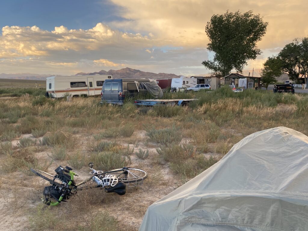
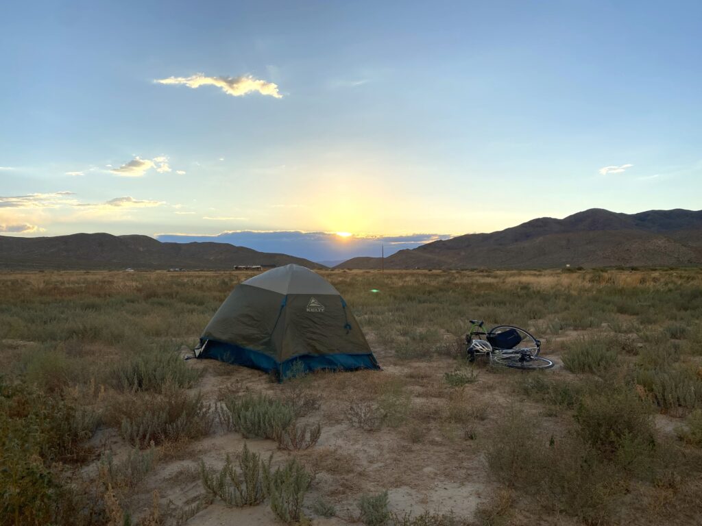
The owner was super nice and said I could camp wherever I wanted. For some reason I decided to not bring a sleeping pad (I was pretty new to camping) which was fine for most nights, but the ground was prickly and poked me all night. It also poked through the bottom of my tent which made everything quite damp when it started raining around 3am.
Day 10
64 miles – 3,179 ft elevation gain
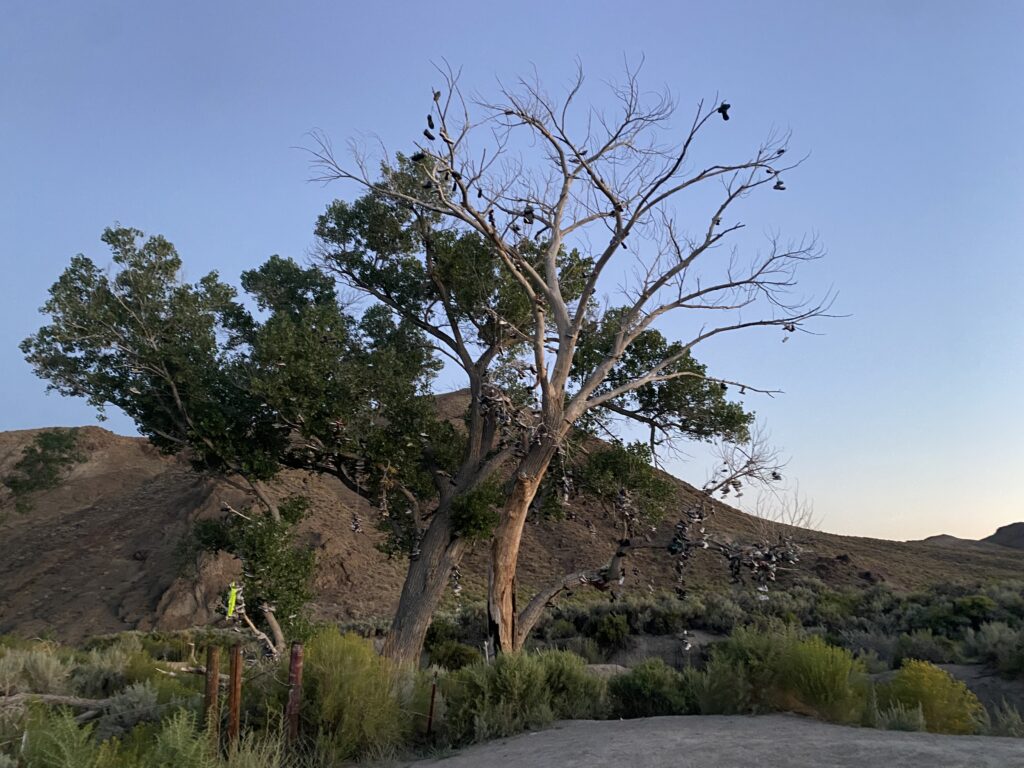
Started the day with a beautiful sunrise and a visit to the shoe tree!
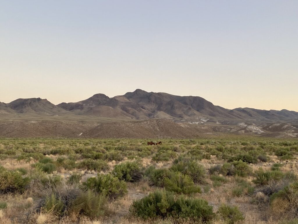
I was super happy to see wild horses because I was hoping to see them!
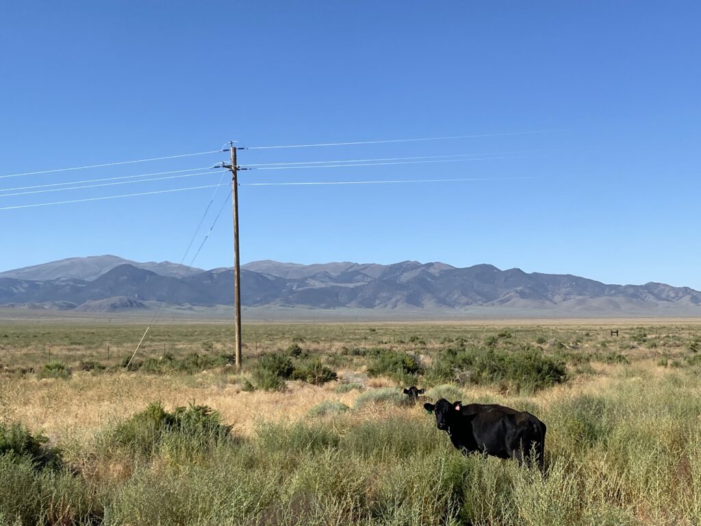
Apparently tumbleweeds are real. It was very windy all day, so they were constantly blowing across the road. A cow scared me which caused me to almost fall off my bike.
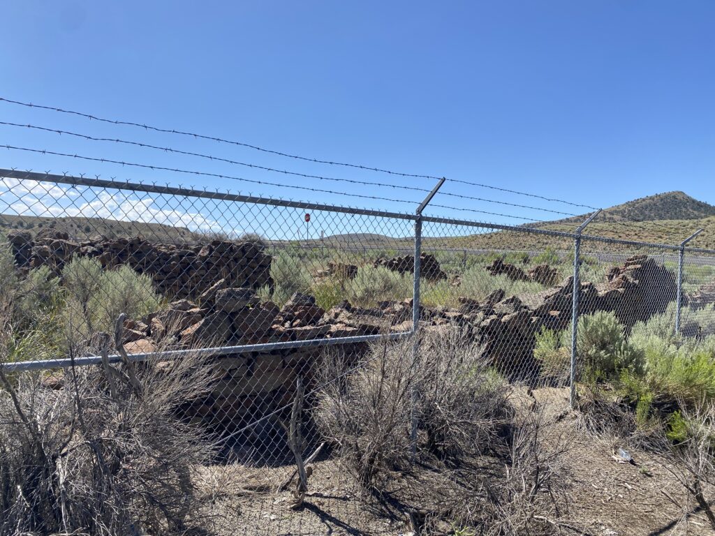
I stopped to see an old pony express station.
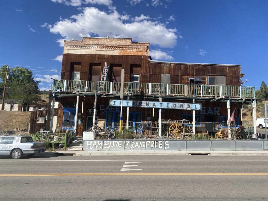
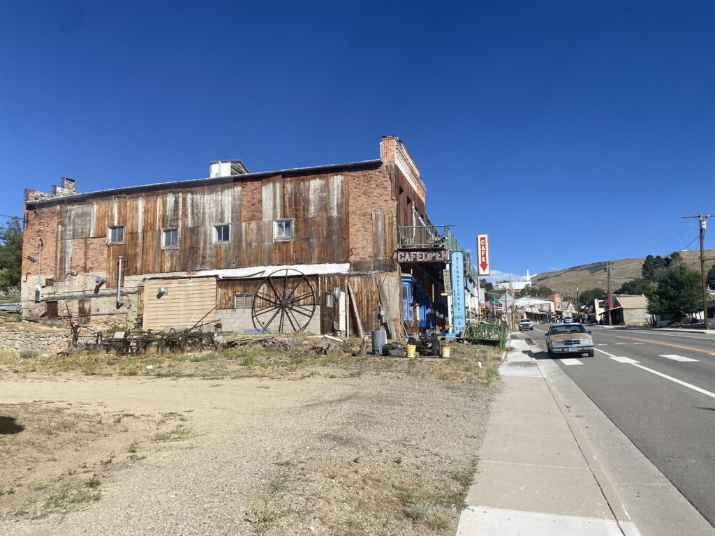
Made it to Austin! Multiple unrelated people told me to NOT go to the international cafe, so I didn’t.
Going home
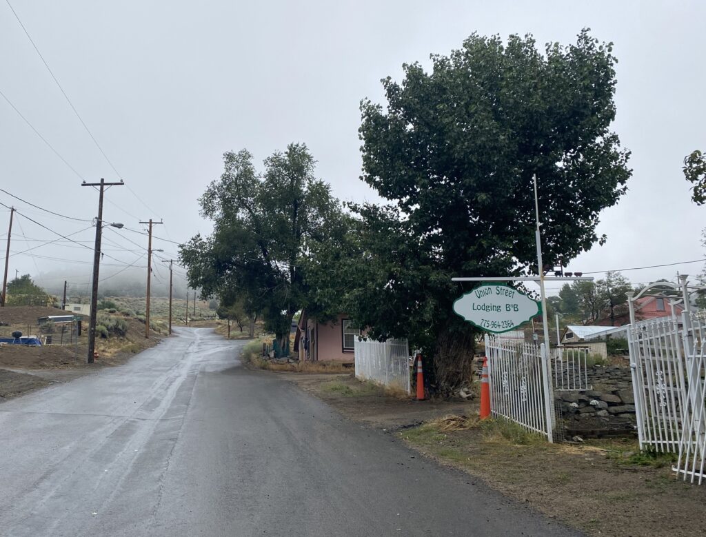
The remnants of the hurricane on the west coast hit the area and I had to get home for XC, so I spent the day in Austin taking my bike apart and waited for my dad to pick me up.
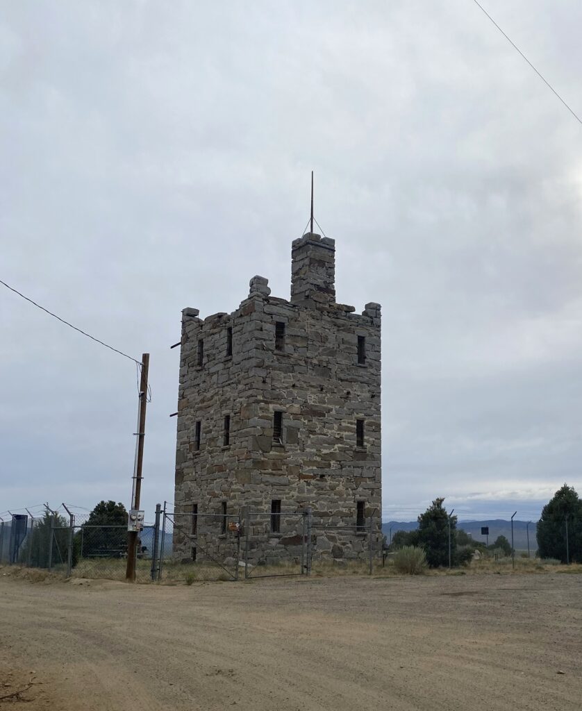
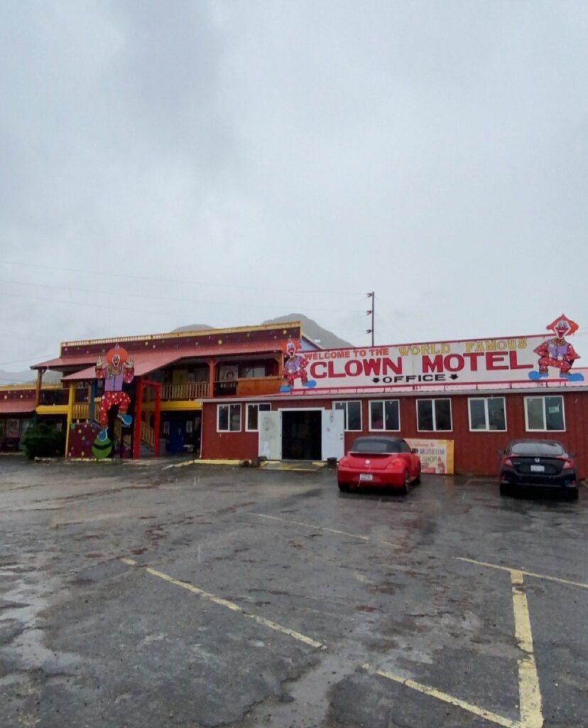
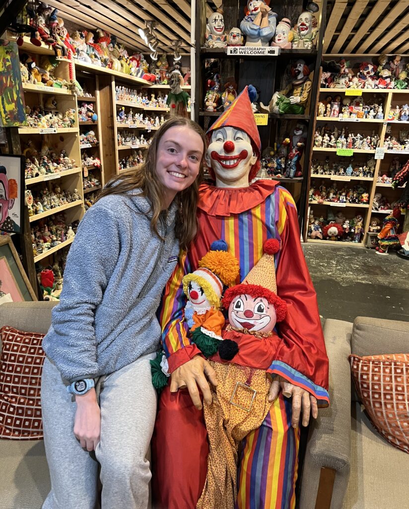
Important stop in Tonopah, NV.
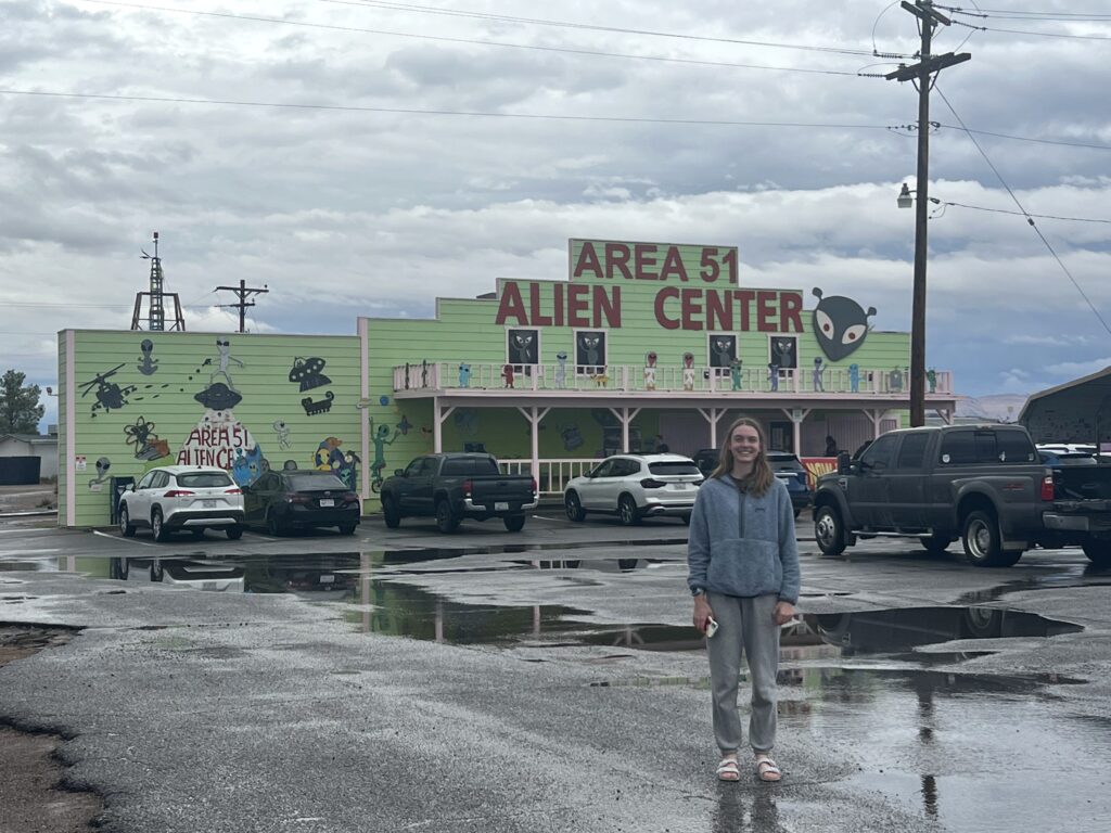
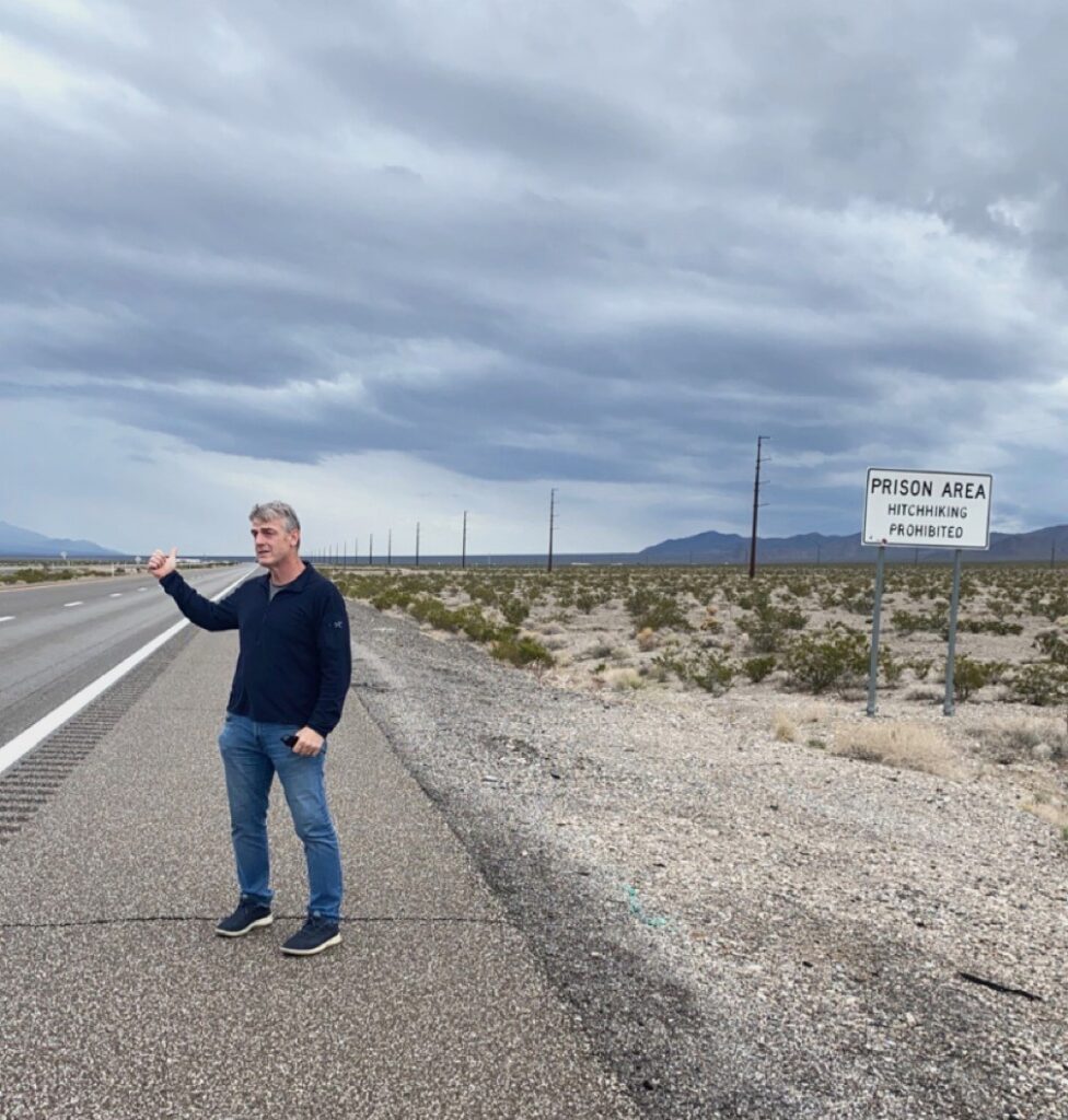
Area 51 and hitchhiking out of prison obviously.
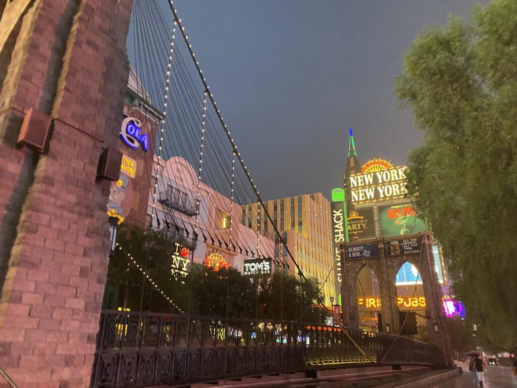
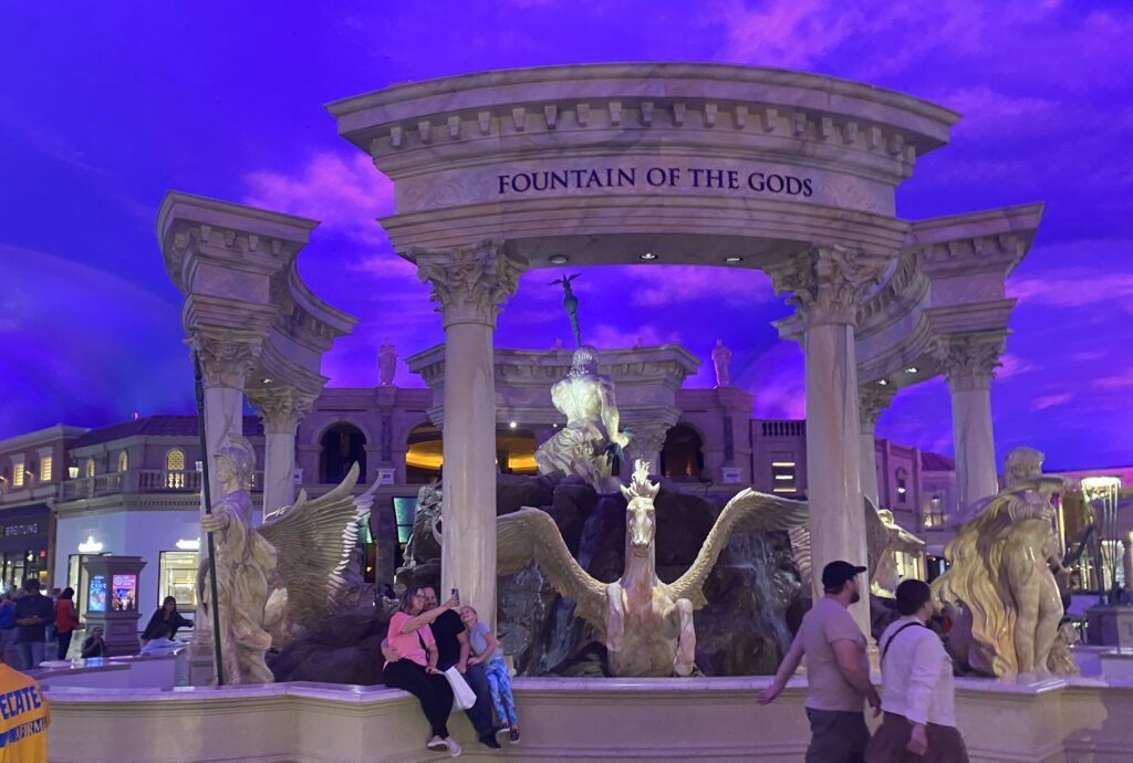
Las Vegas!!
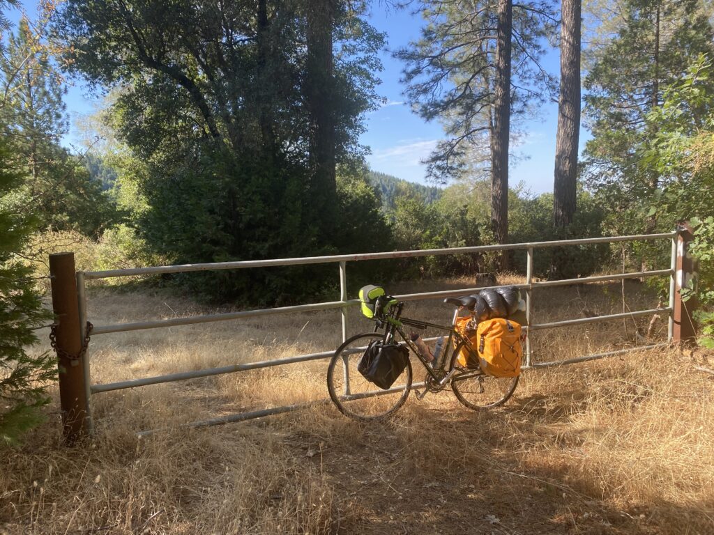
This trip was a great learning experience. I overestimated my abilities and quickly learned that I couldn’t be too set on the plan I made before getting on the bike. After the first 5-6 days my legs definitely began adjusting, and biking with the weight became easier. I would also take advantage of wild camping on public land in the future. I didn’t realize this was an option at the time, but it would’ve made planning a bit easier.
“Doubt kills more dreams than failure ever will.”
Leave a Reply