
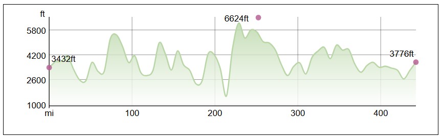
This is the fifth and final post in my Appalachian Trail series, covering Tennessee, North Carolina, and Georgia. This section of the trail is around 463 miles, although the distance we walked is slightly different because of Hurricane Helene. From slightly after Grayson Highlands until Sam’s Gap, we had to figure out an alternate route.
Below is a map of the section using the official Appalachian Trail route. The red markers represent state lines, the yellow marker is Shady Valley, the purple marker is Johnson City, the blue marker is Erwin, the green marker is Sam’s Gap, the brown marker is Gatlinburg, the orange marker is Mountain Crossings, and the red star is Springer Mountain!
Tennessee
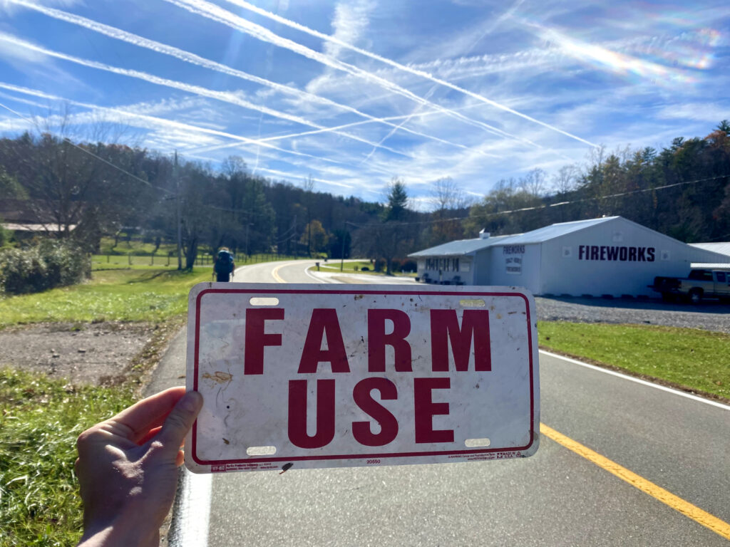
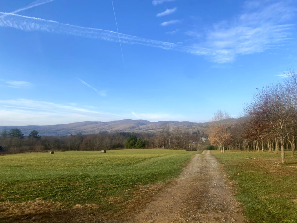
Right after crossing into Tennessee, I found a farming license plate and decided I needed to keep it. Walking the backroads of Tennessee was very enjoyable.
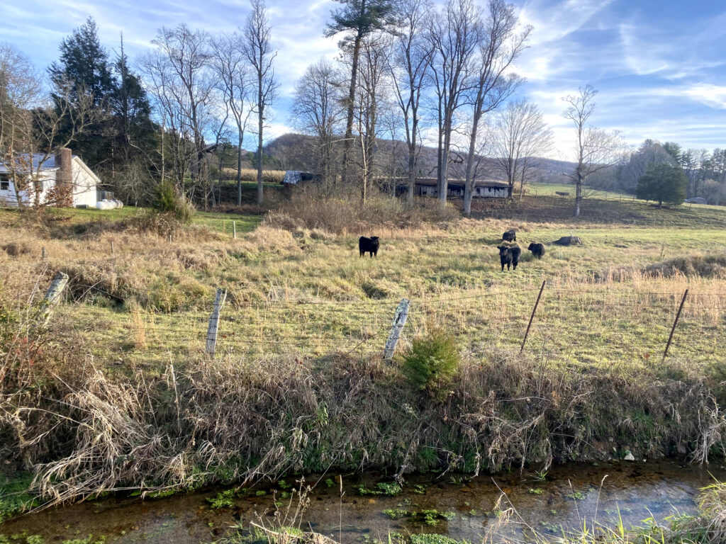
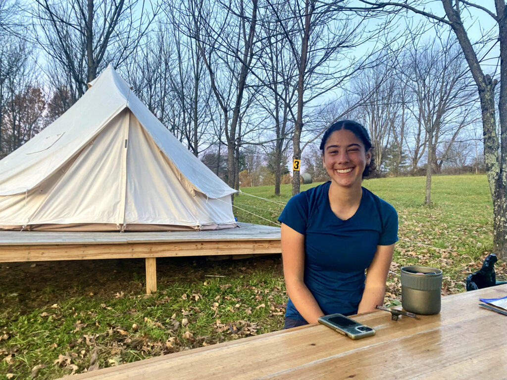
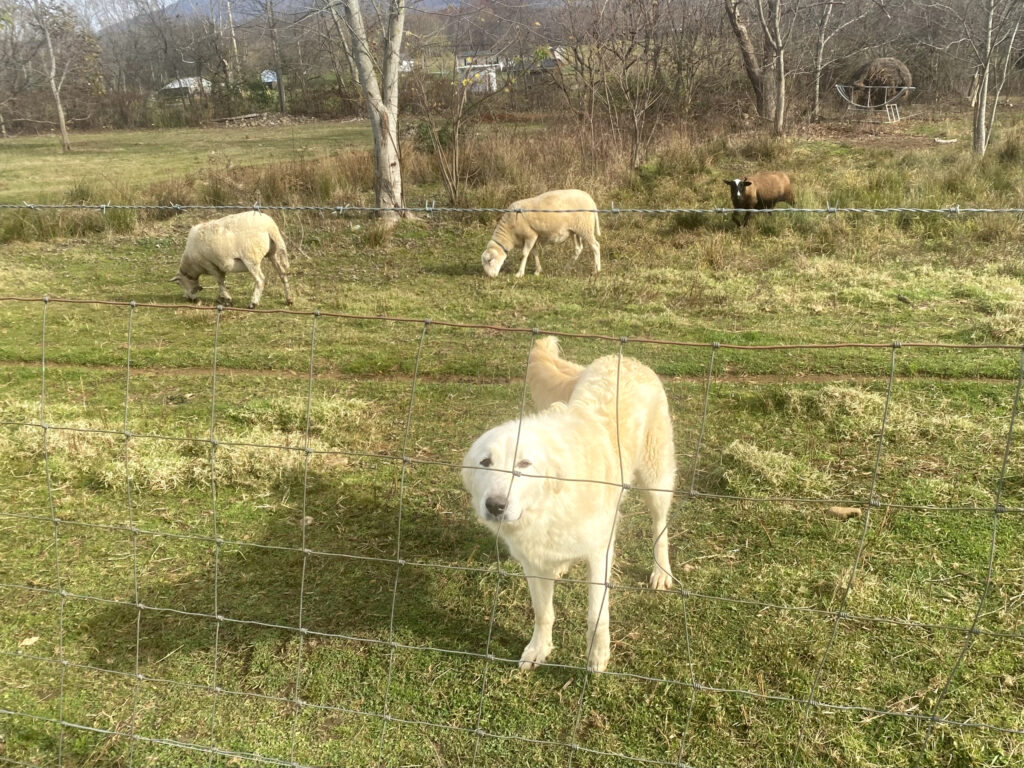
After arriving at our campsite in Shady Valley with the intention of camping, the owner pointed at the yurt and said, “stay there instead”. It was surprisingly comfortable! I think the dog in the right picture was mistaken for a sheep.
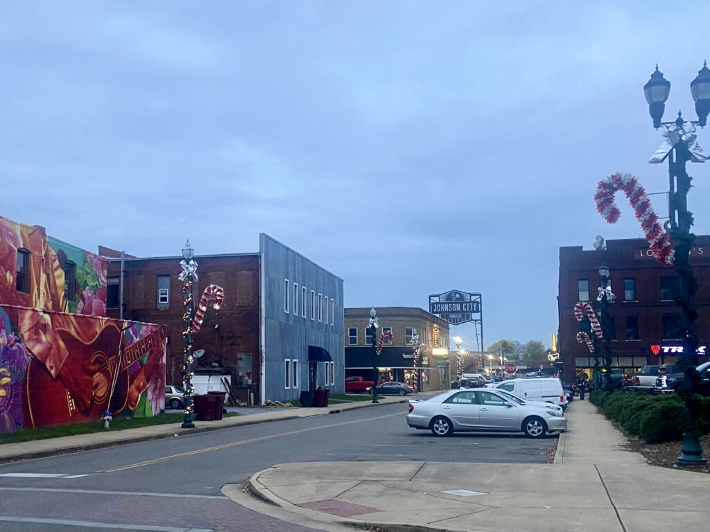
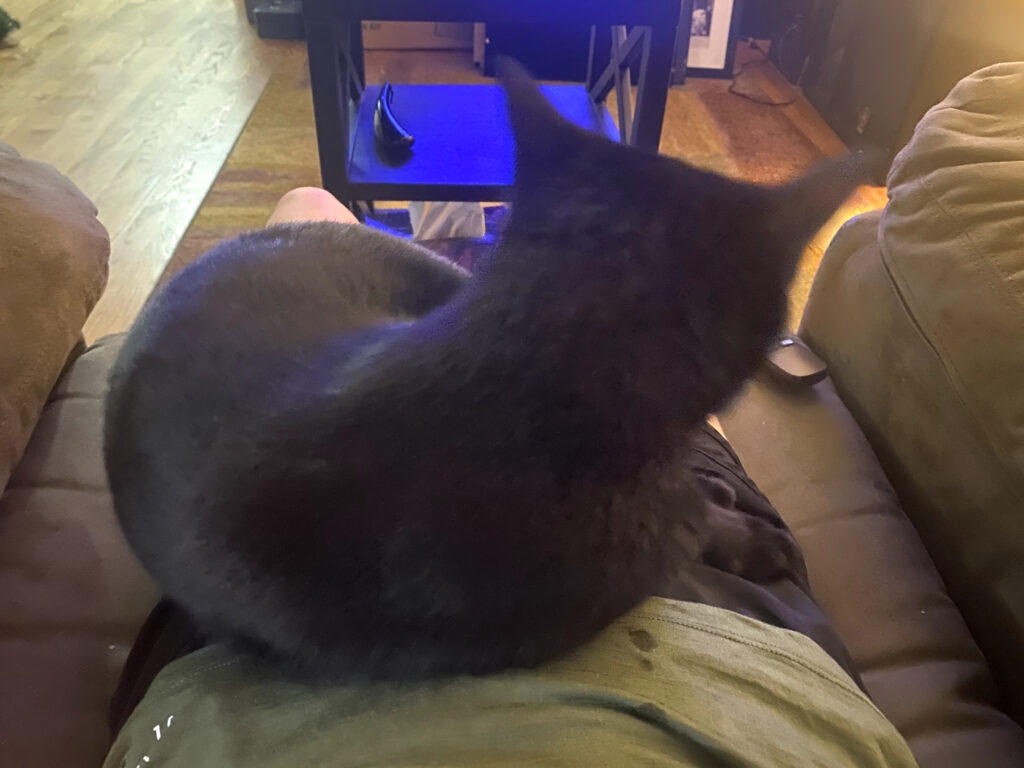
Slip n’ Slide’s Dad’s friend lives in Johnson City so we included that on our detour! It was very nice to be able to sleep in a warm house with a cat and have a home cooked meal. We even got some bacon to go.

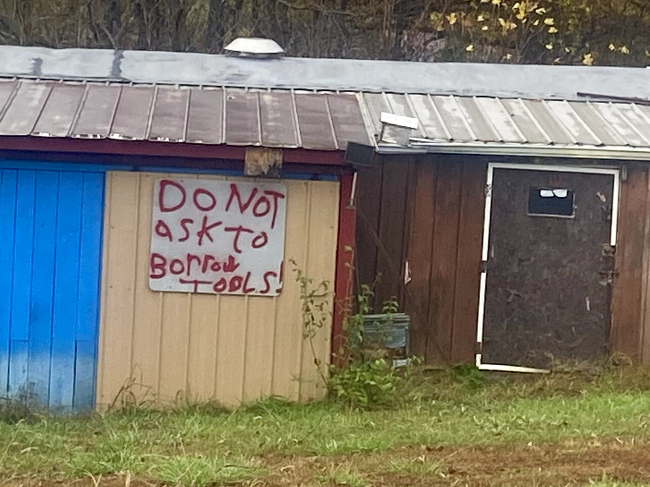
It’s a good thing I didn’t have to borrow tools!
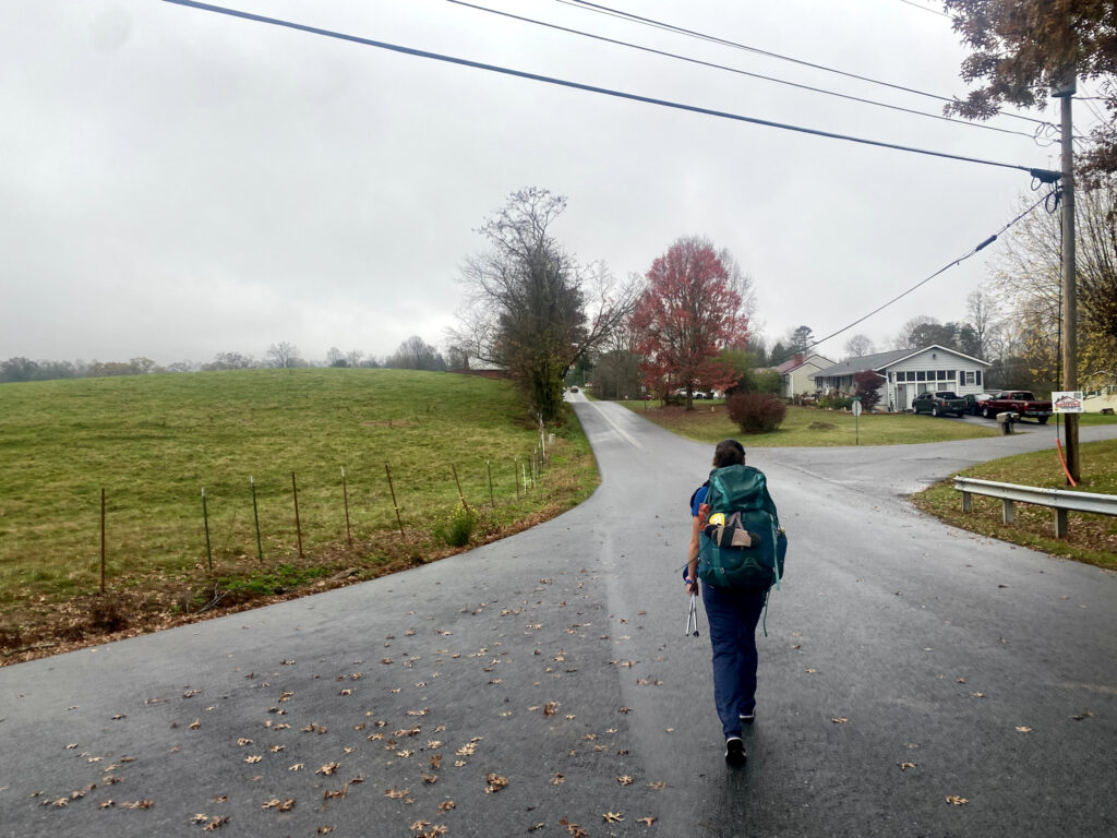
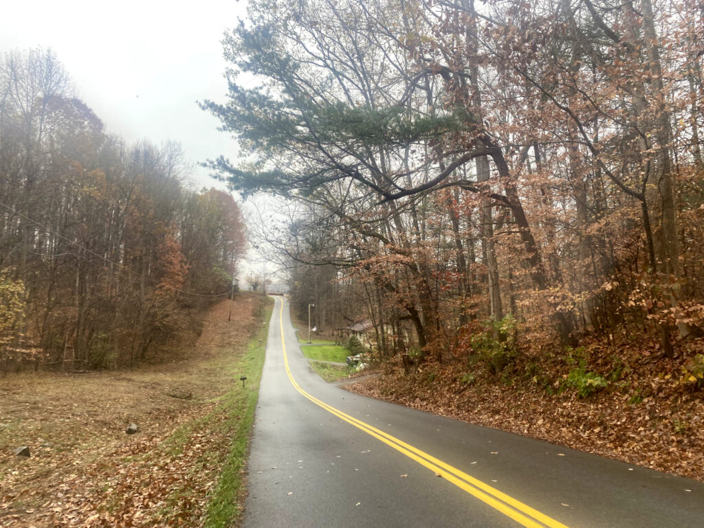
Hurricane Helene caused the Nolichucky River to rise around 30 feet, destroying homes, businesses, roads, and bridges in its path. Erwin is one of the towns that got severely damaged. The picture on the left is the main road going into Erwin, and the picture on the right was a wedding venue with rental cabins.
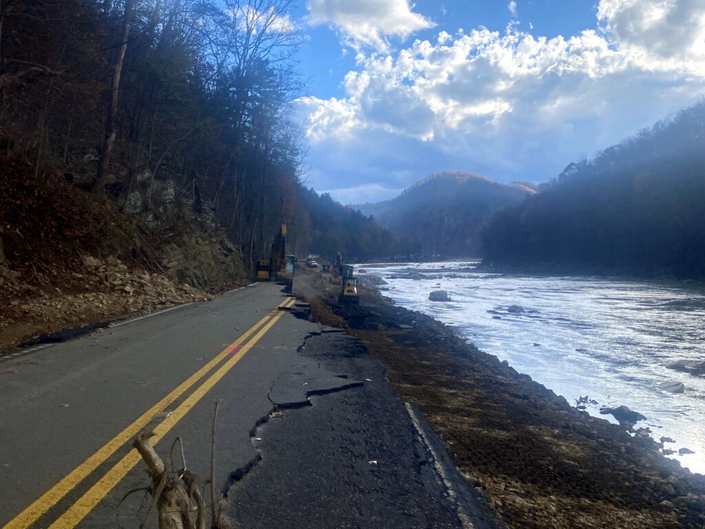
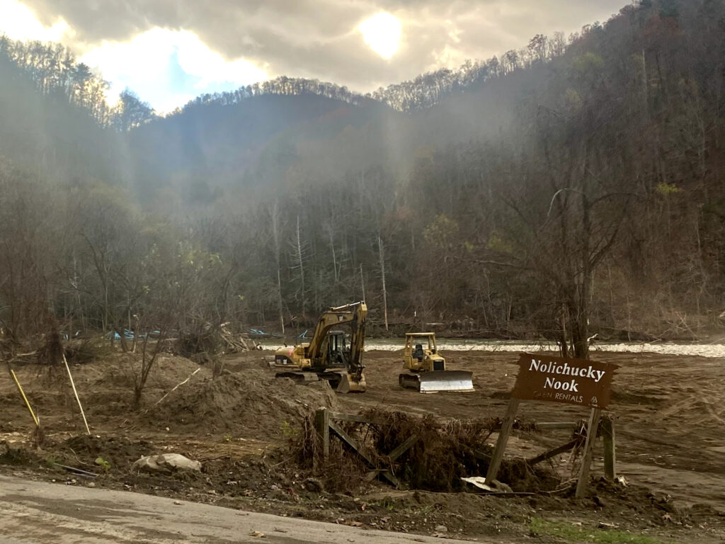
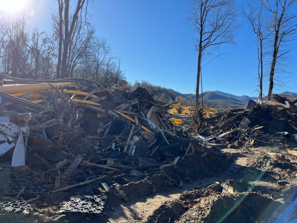
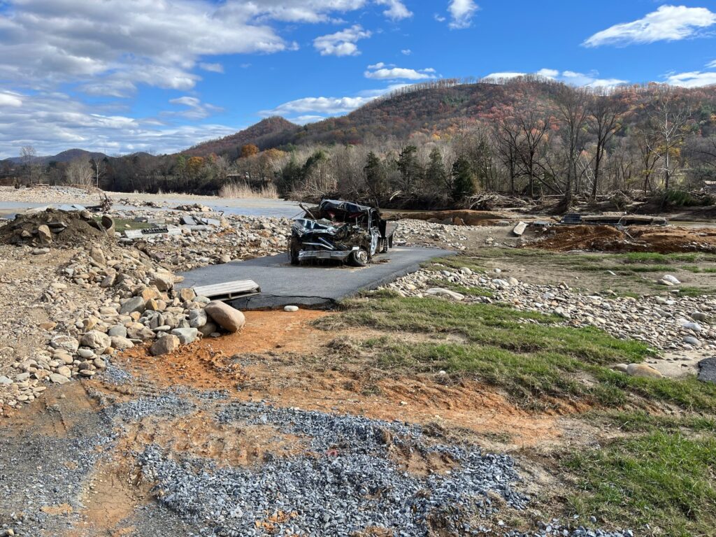
More destruction from Hurricane Helene in Erwin.
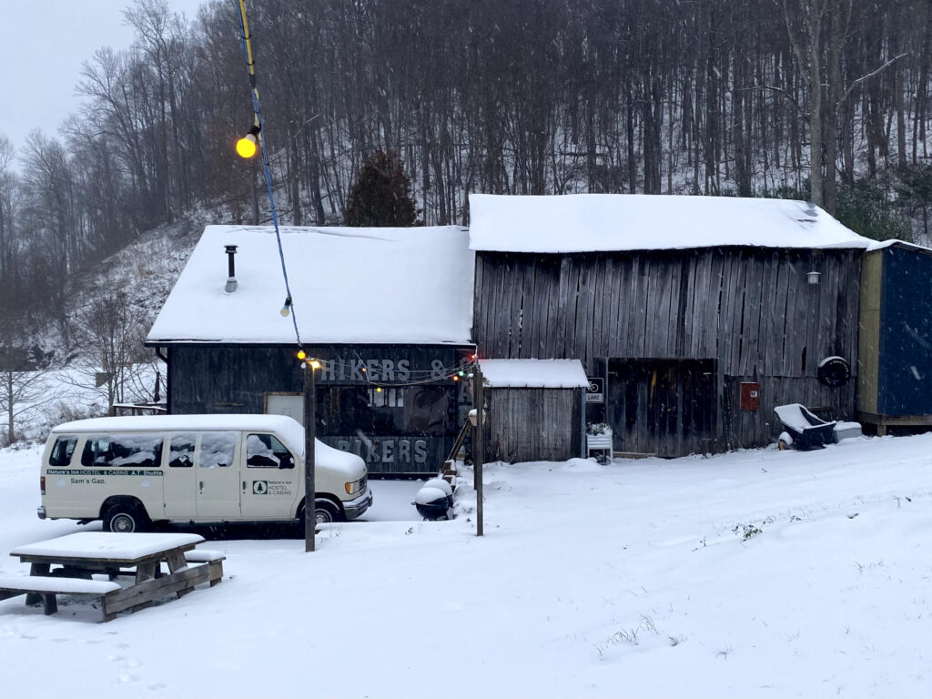
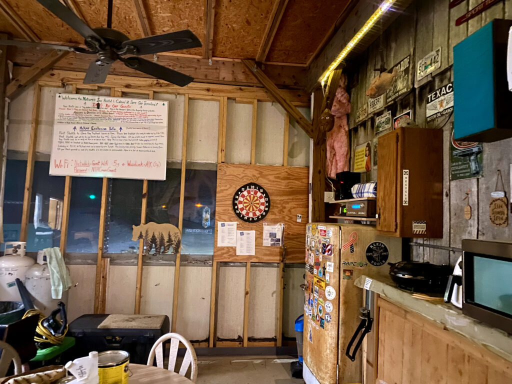
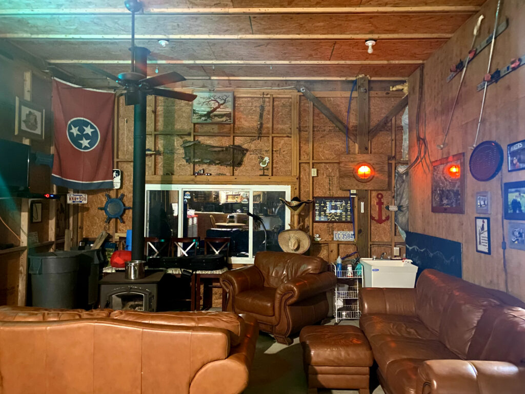
Right before connecting back with the Appalachian Trail, we found the Nature’s Inn Hostel to wait out the snowstorm. We were the only ones there and it ended up being one of my favorite hostels. The owner let us stay in a cabin, and it was very cozy watching the snow fall while drinking hot chocolate.

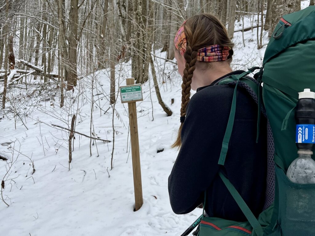
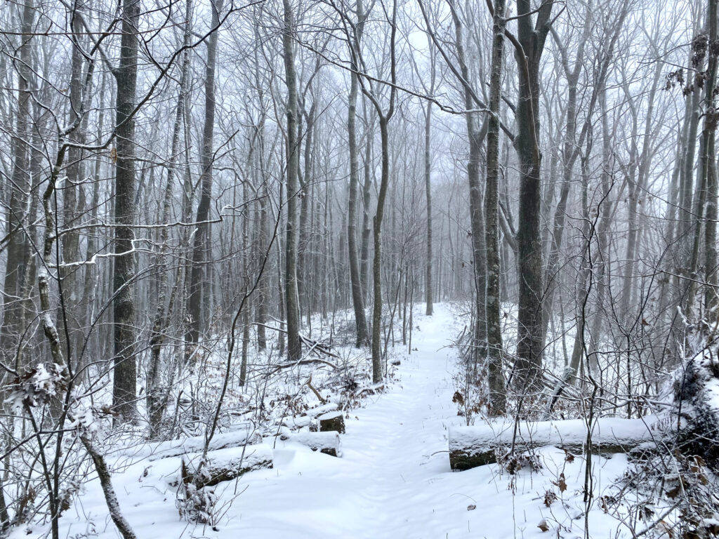
Back on the Appalachian Trail! Still a bit snowy from the storm.
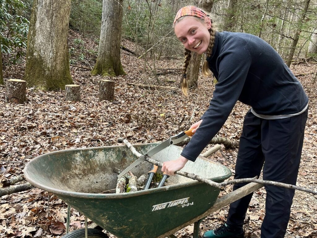
Cutting wood for the cookie lady while she heats up cookies for us!
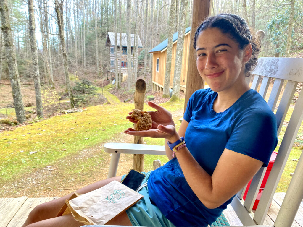
Delicious warm cookies! The cookie lady told us all about climate change in the area and how she barely sees snow anymore. She’s lived in her house for a very long time and used to have snow every Christmas.
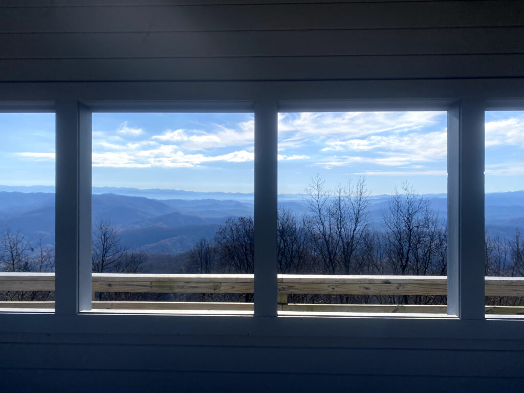
Beautiful views from the Rich Mountain Fire Tower near Hot Springs, North Carolina. The trail weaves back and forth between Tennessee and North Carolina for a bit.
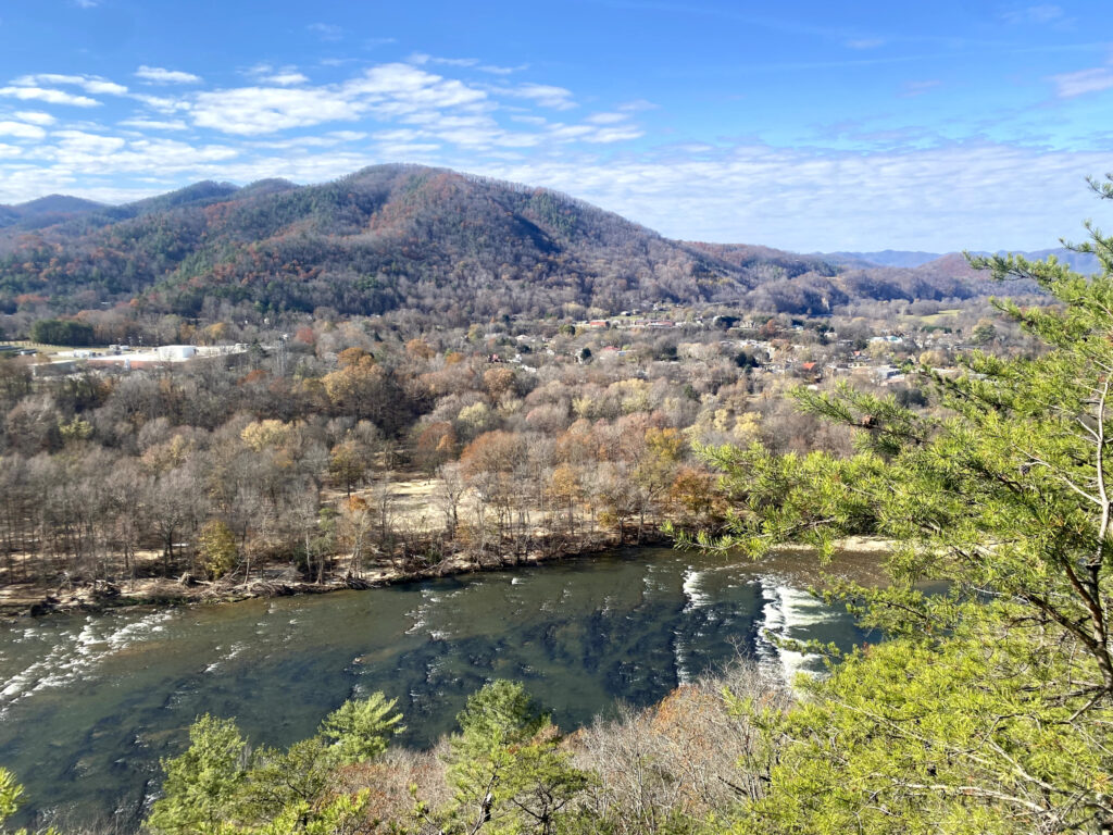
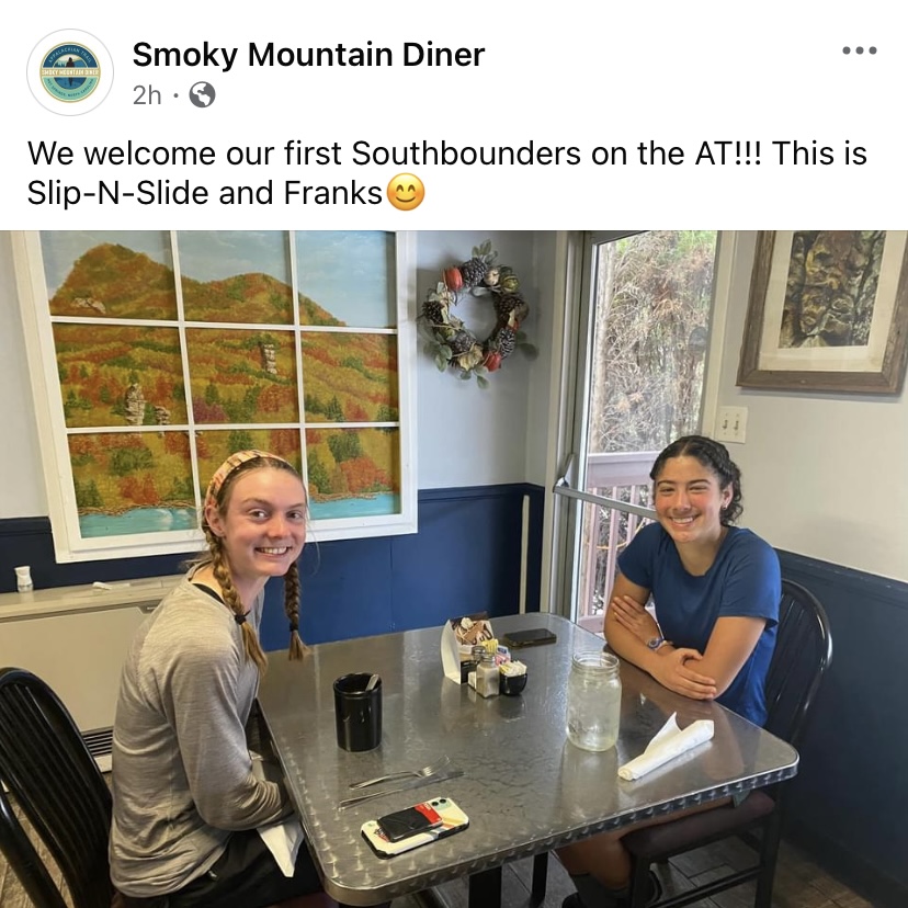
10/10 diner in Hot Springs! Not many Southbounders on the trail after the hurricane.
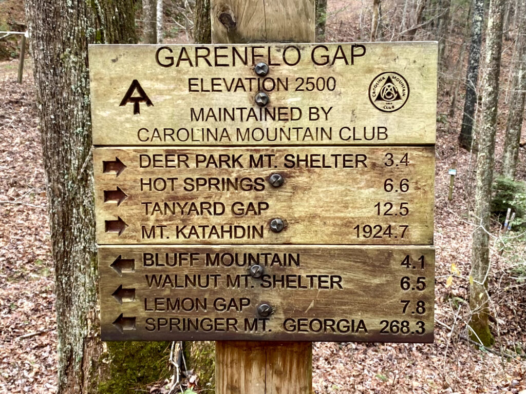
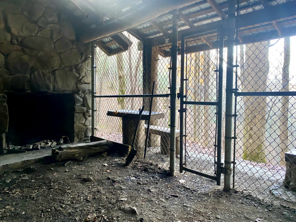
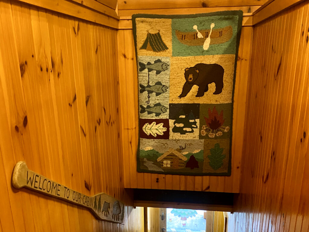
We made it to Great Smoky Mountains National Park and spent the night in a bear cage! There are lots of bear issues in the Smokies, mostly caused by humans. Although we were safe from bears, Slip n’ Slide’s bag was attacked by a mouse.
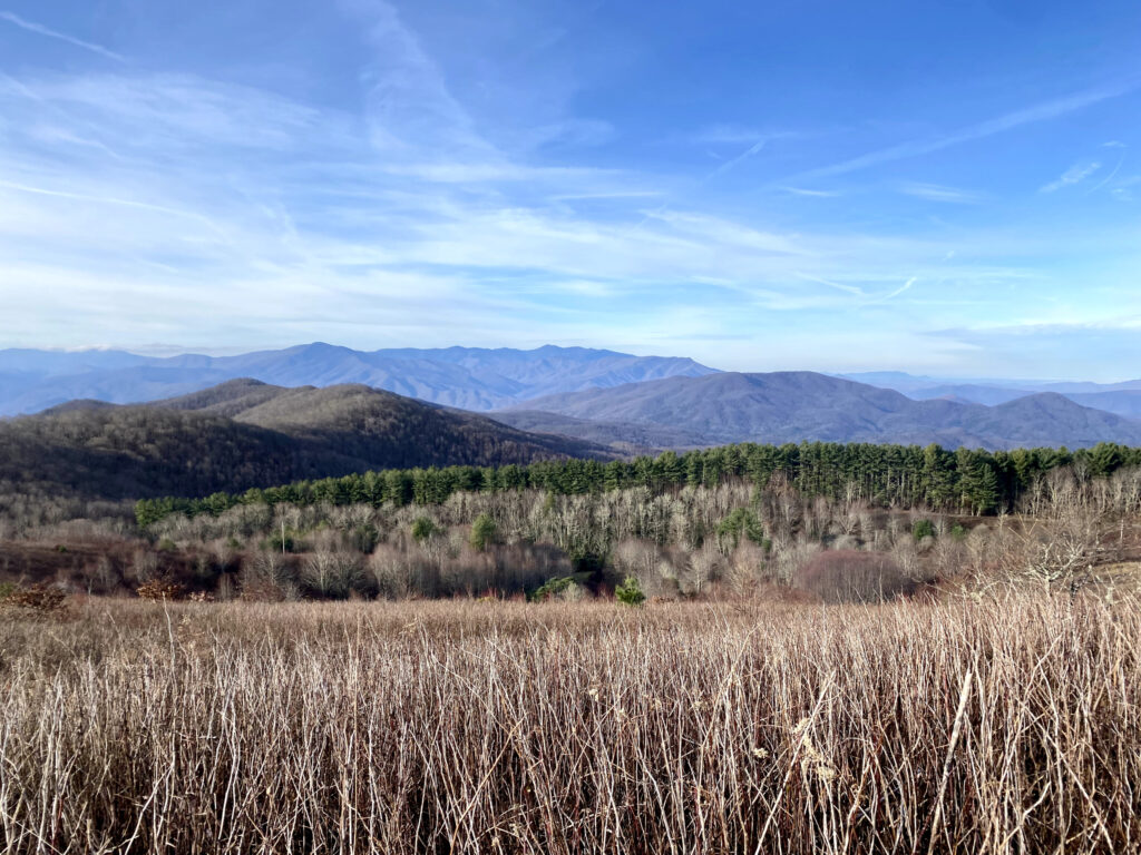
After a very cold and rainy Thanksgiving, we escaped to Gatlinburg in the evening. I got a huge plate of nachos, chili, and mac and cheese. This miserable day became much, much better!

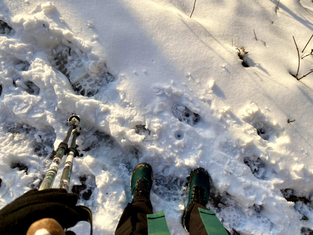
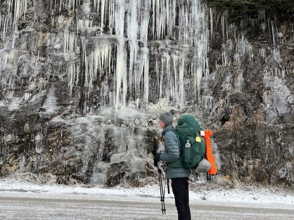
We returned to the Smokies and were immediately greeted by another snowstorm! It was extremely cold, but the forecast wasn’t looking any better in the future, so we pushed through.
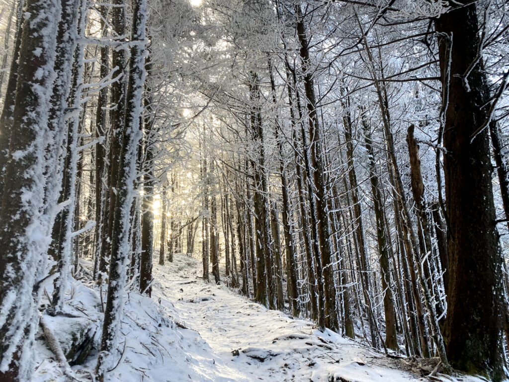
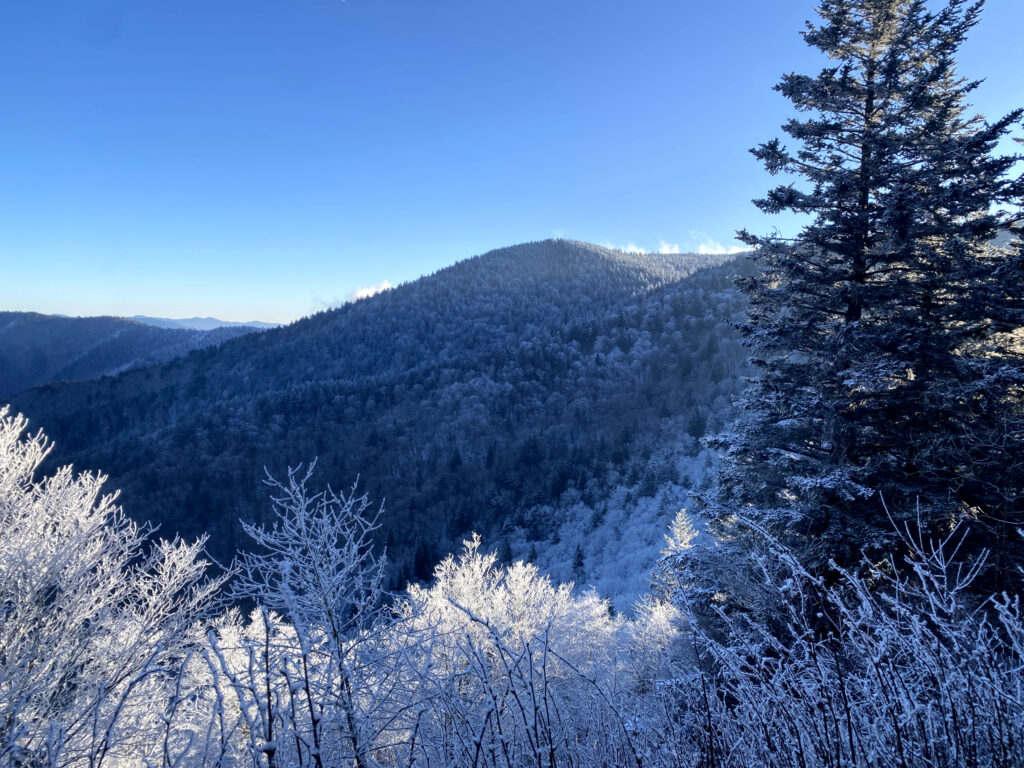
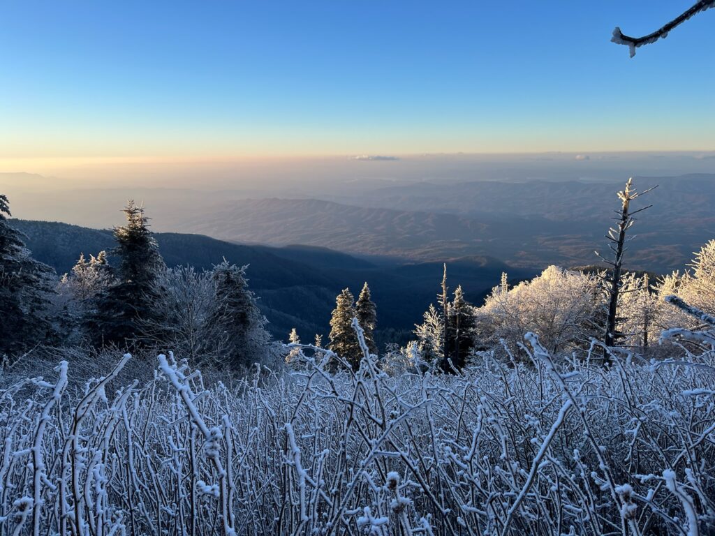
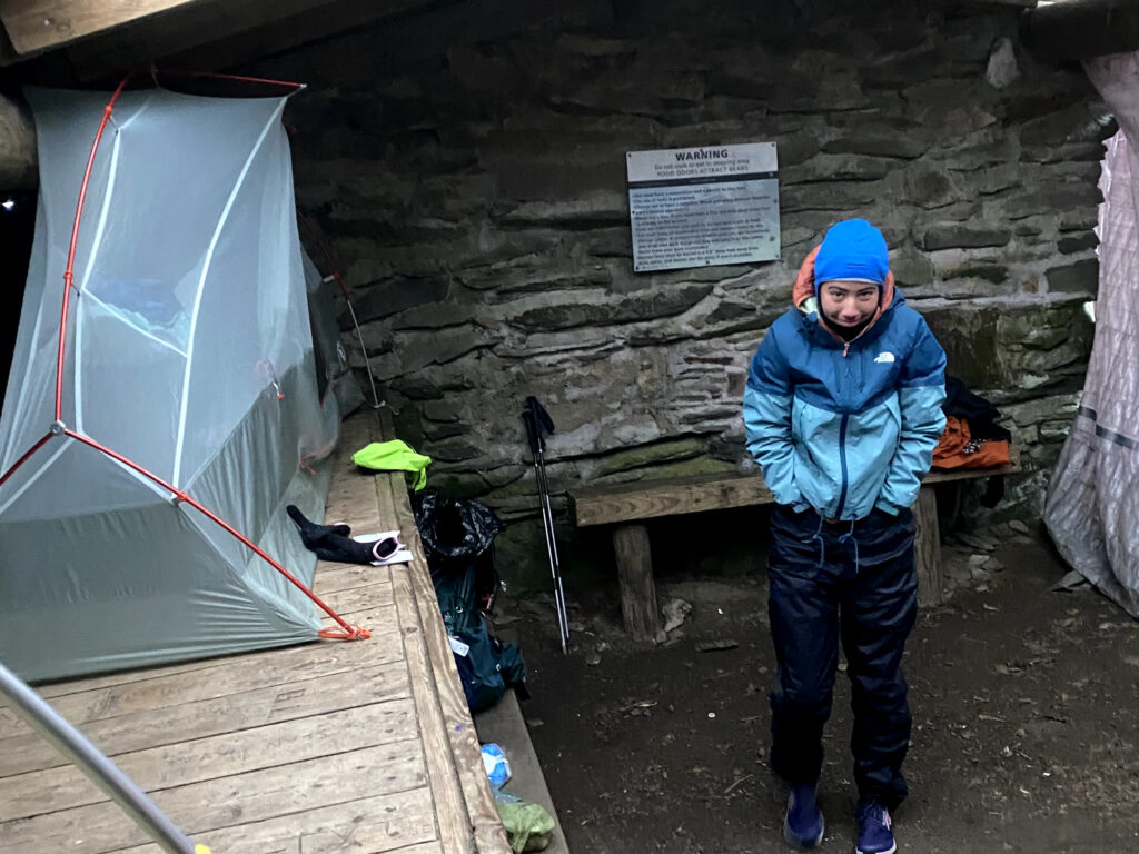
We were the only people camping and were able to take over one of the shelters for the night. It was below 0 degrees Fahrenheit, but thankfully we had three walls to guard us from the wind. My 30-degree sleeping bag did not keep me warm unfortunately, and I spent the entire night shivering in a ball.
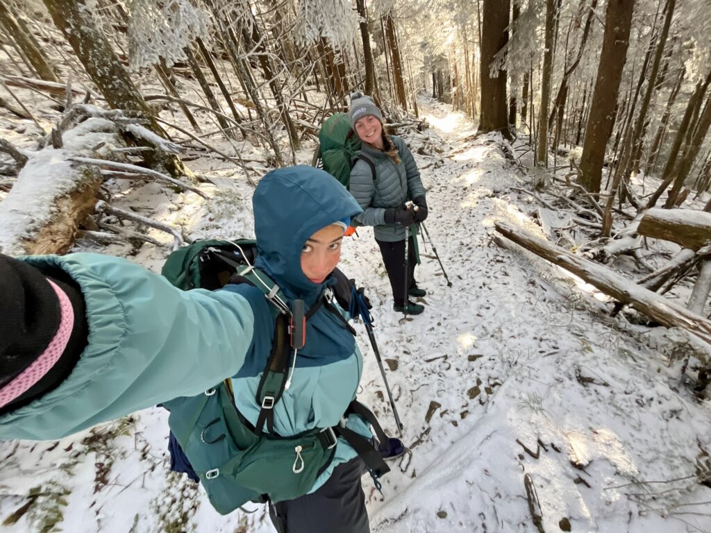
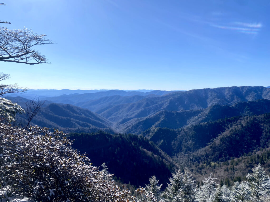
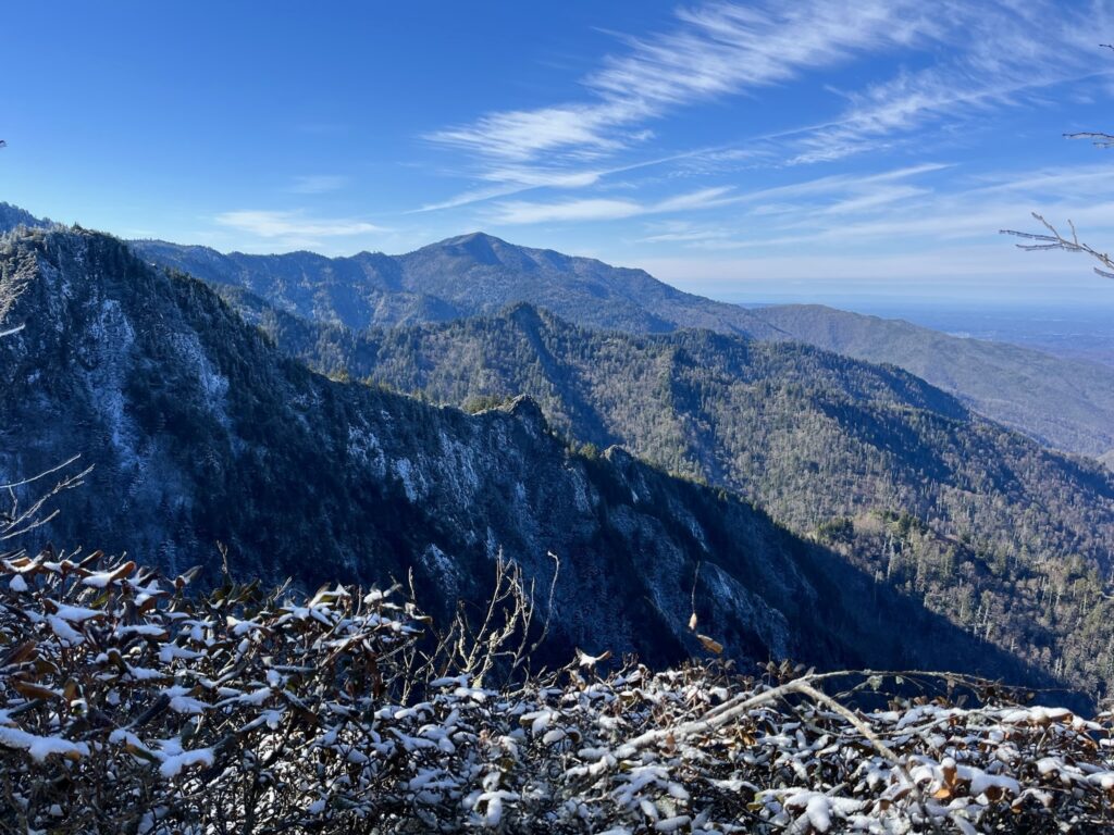
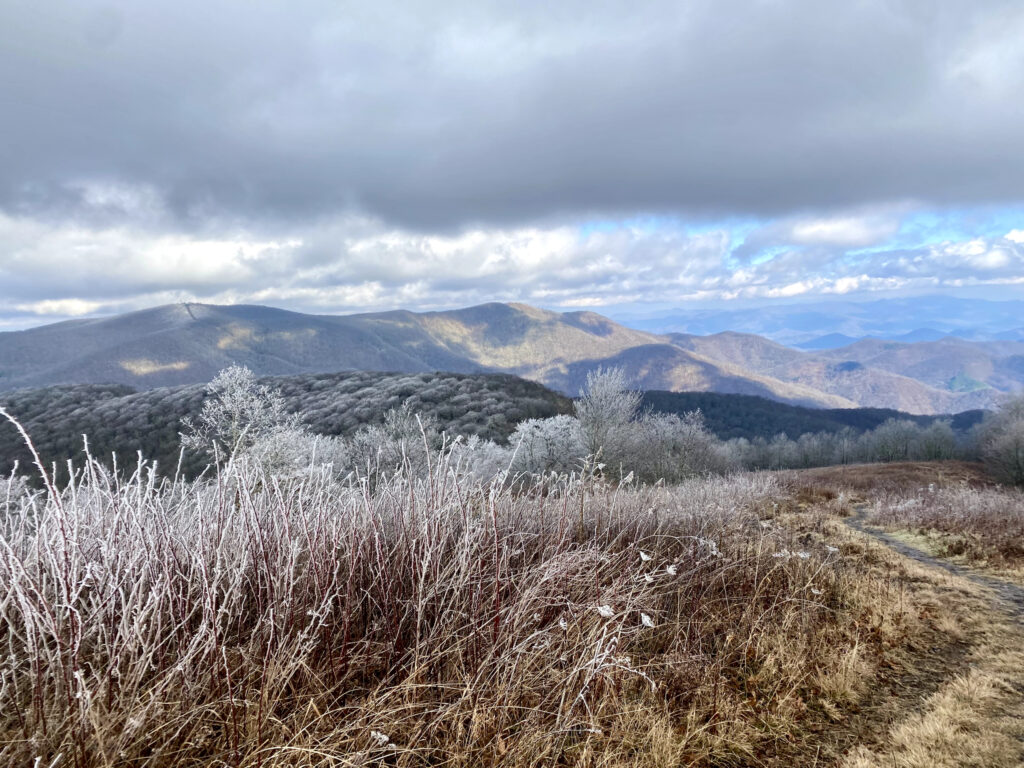
We survived and had excellent views the next morning!
North Carolina
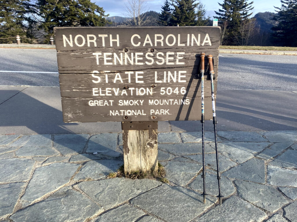
We officially crossed into North Carolina and made it to Clingmans Dome (also called Kuwohi), the highest point on the entire trail (6,643 ft)! We had the entire place to ourselves, which is very uncommon as it is a popular tourist attraction.
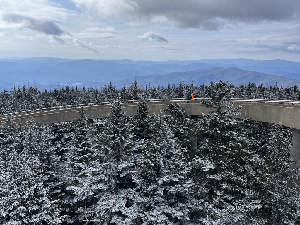
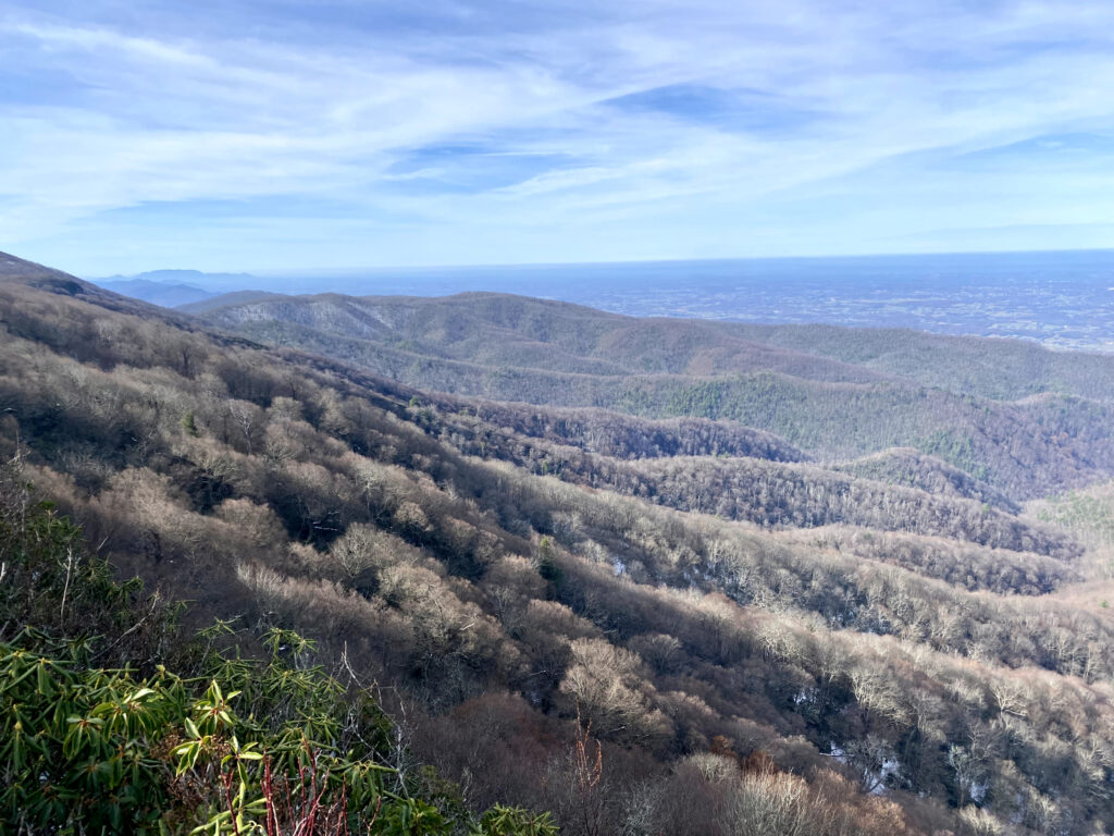
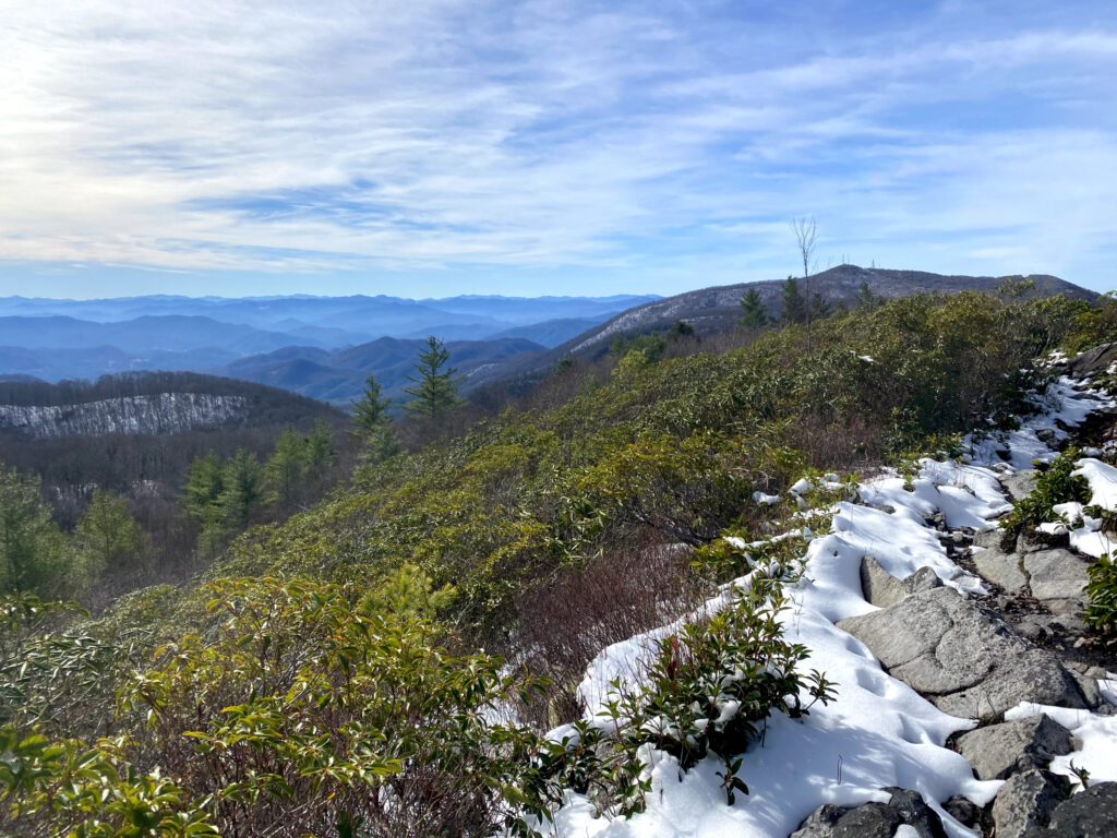
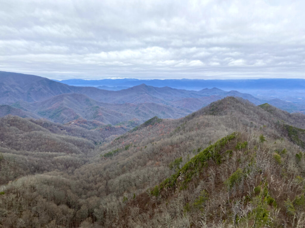
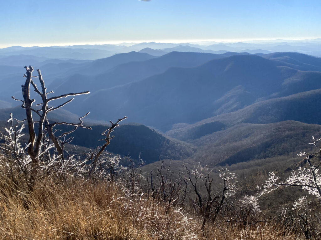
Beautiful views of the Smoky Mountains.
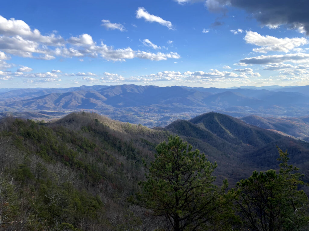
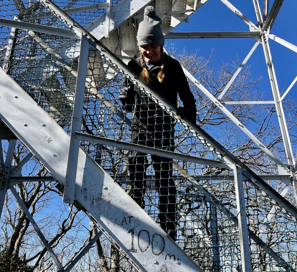
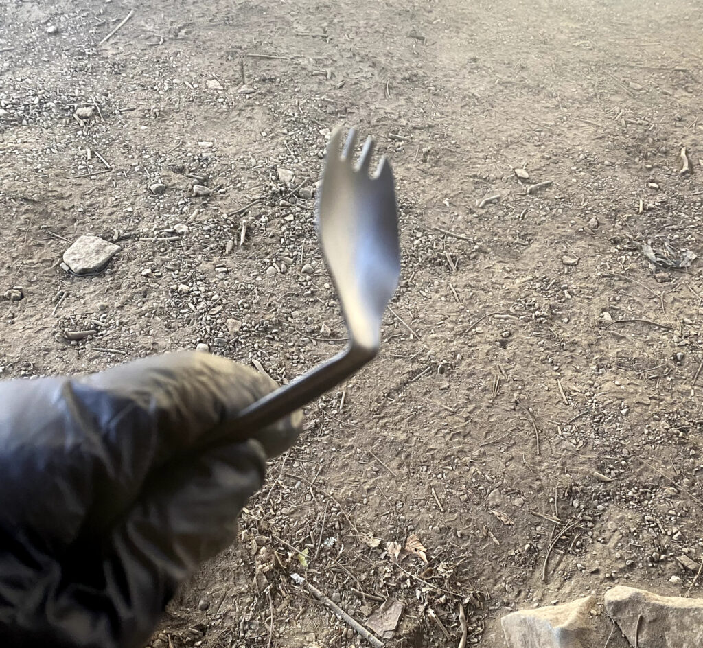
100 miles to go! My spork snapped in the cold.
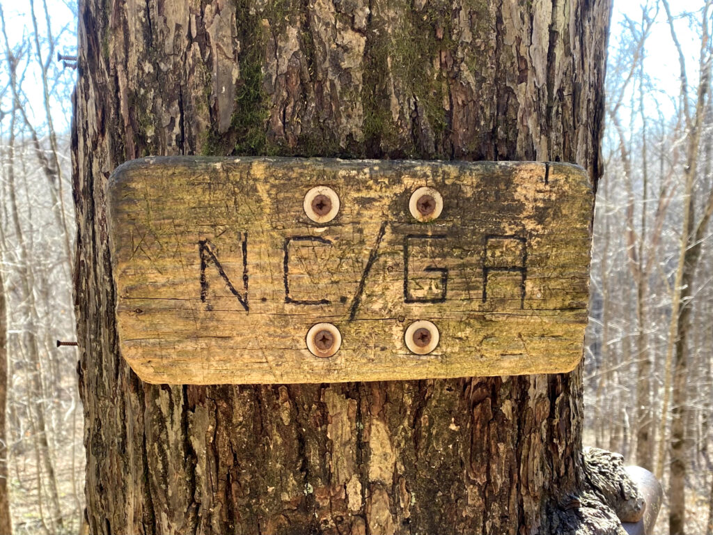
Georgia
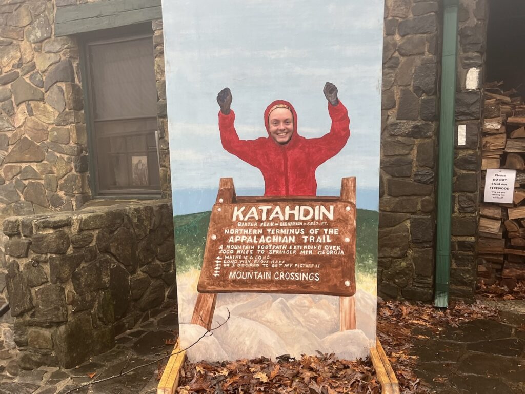
Made it back to Katahdin!! Just kidding. There was a cutout at Mountain Crossings, a popular stop on the trail. It is one of the first milestones for Northbound hikers, and a common place to readjust gear.
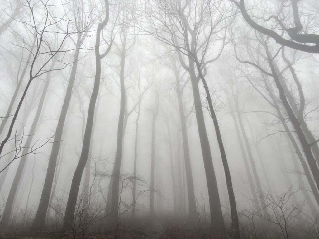
We made it to Springer Mountain!!
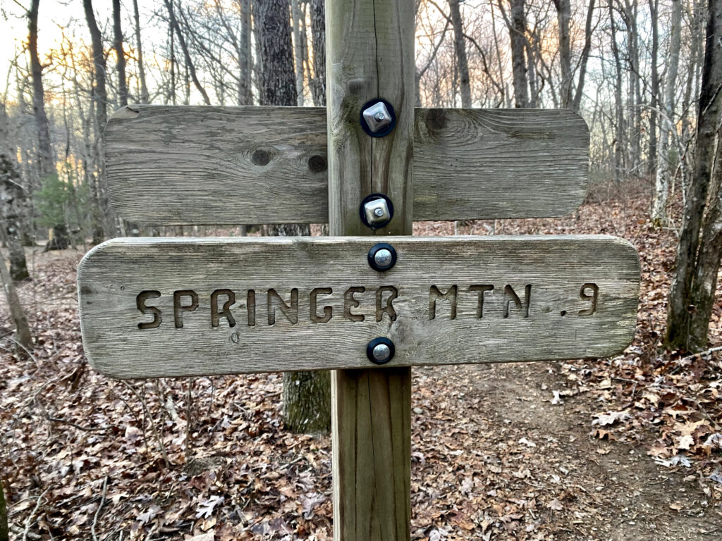
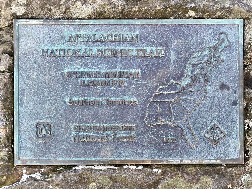
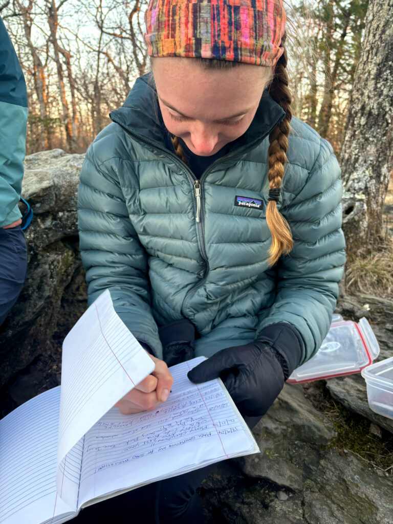
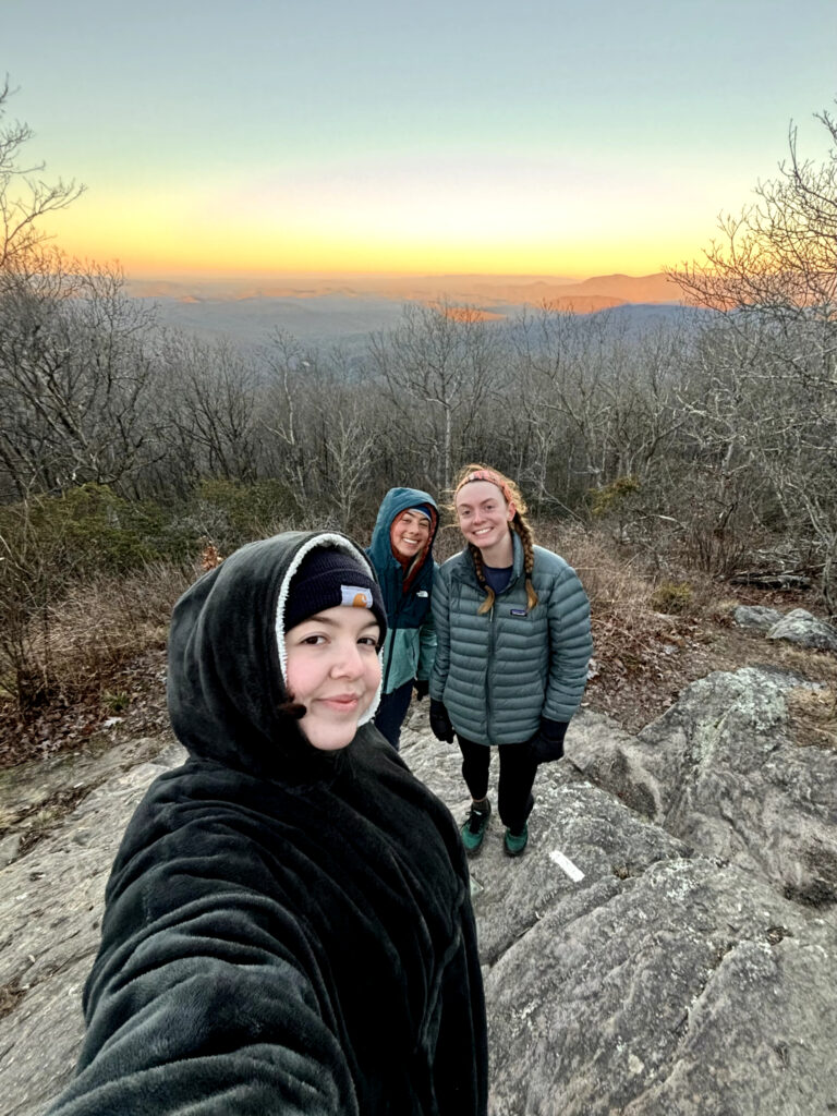
Cinderella (our old hiking friend), Slip n’ Slide, and I camped a mile from the peak and hiked up at sunrise. We signed the logbook and celebrated with leftover pizza! The white blaze next to my foot is the last blaze on the Appalachian Trail going South.
Lots of stairs and a beautiful waterfall!
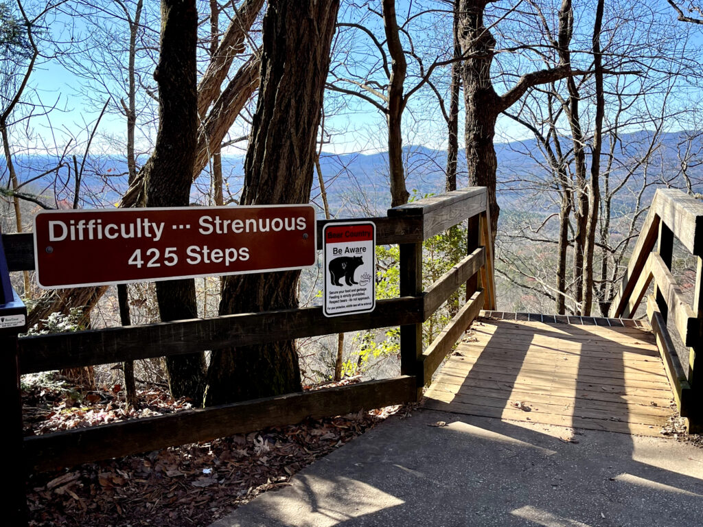
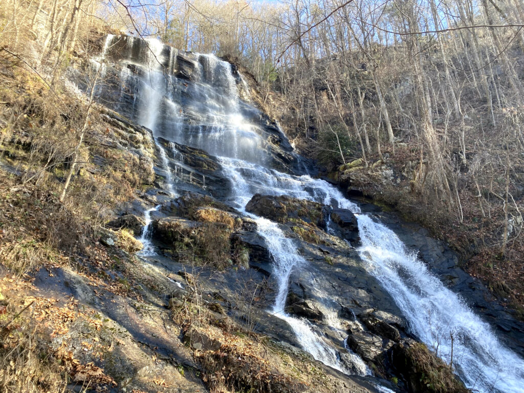
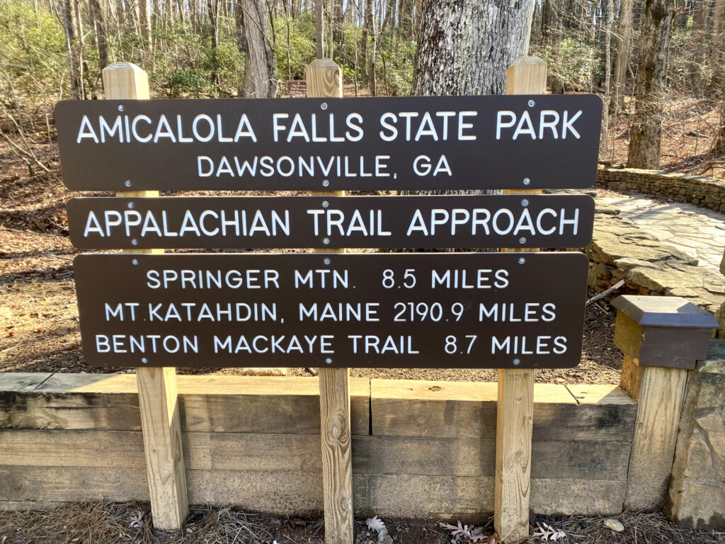
After Springer Mountain we had to hike 8.5 miles to the arch in Amicalola Falls State Park to reach the “official” finish.
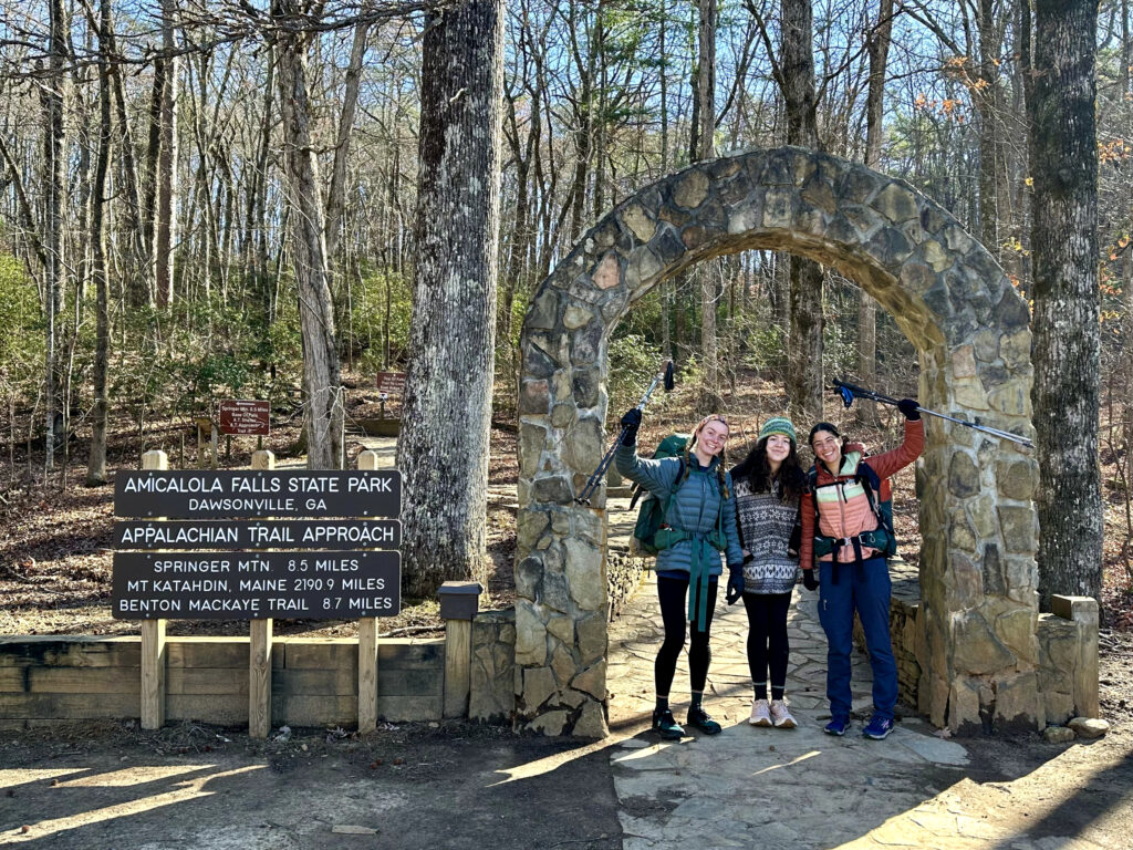
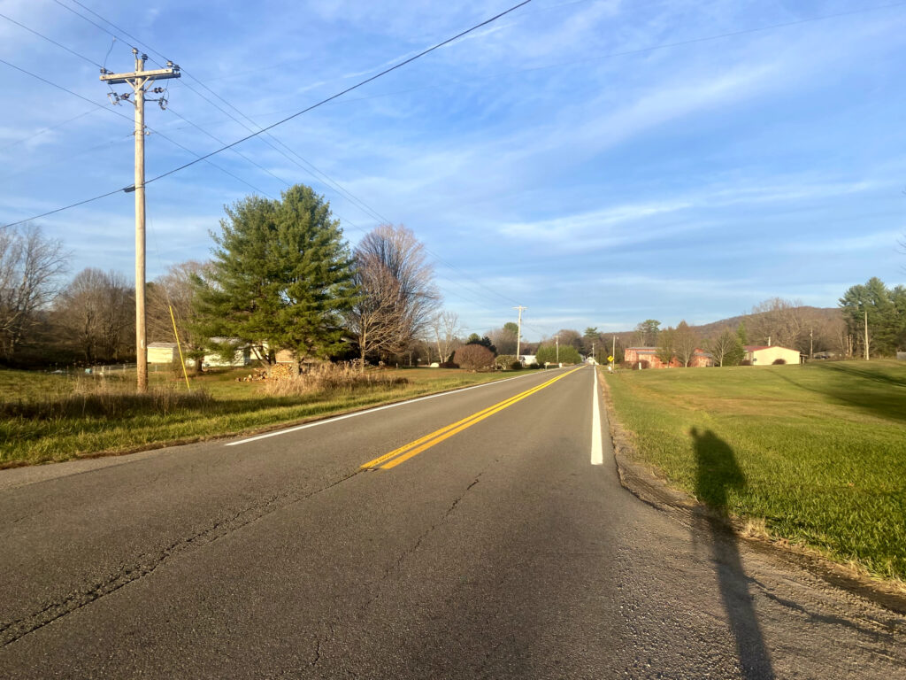
Although this section was full of some very cold, uncomfortable days (and nights), hiking in the snow was very beautiful. Walking the backroads in Tennessee was surprisingly enjoyable, besides the sections that had been destroyed by Hurricane Helene. Seeing the tragedy that happened there up close was very sad.
That concludes my extremely long Appalachian Trail review! Walking from Maine to Georgia was one of the best experiences I have ever had. I got to walk through 14 states, see parts of the country I probably never would have seen otherwise, meet a lot of interesting people, and spend five months basically living outside.
Apparently if you go to Maine and just keep walking every day for long enough, eventually you end up in Georgia! 10/10 adventure. On to the next!
“The only impossible journey is the one you never begin.”

Leave a Reply