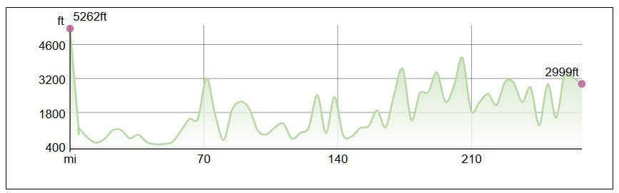
This is the first post in a series of trail reviews covering each section of the Appalachian Trail. Since I hiked southbound, Maine was the first section for me. This section is about 282 miles long and has many of the most challenging parts of the entire Appalachian Trail.
Here is a map of the entire section. The red star marker is Mount Katahdin, the official starting point. The blue marker is the Abol Pines campground, which is close to the start of the 100-mile wilderness. The green marker is Monson, which marks the end of the 100-mile wilderness. The purple marker is Caratunk, which was one of my favorite towns on the entire trail. The yellow marker is Mahoosuc Notch, which is known as the hardest mile on the Appalachian Trail. The red marker at the end is the New Hampshire state line.
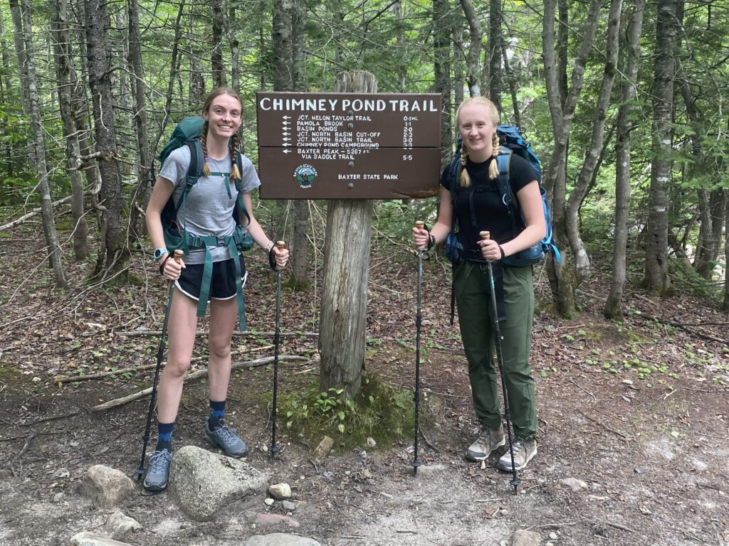
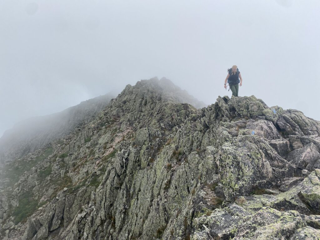
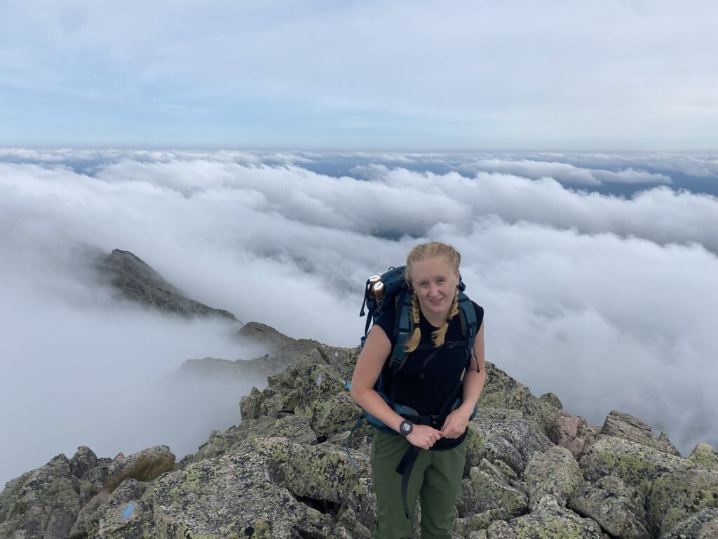
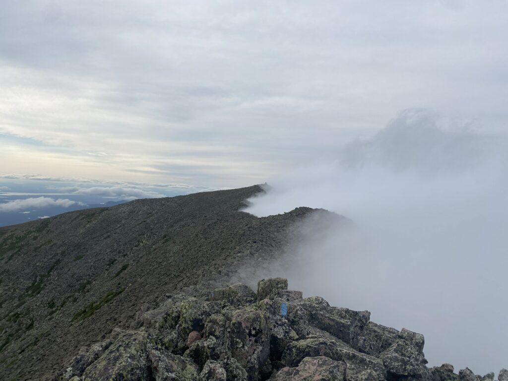
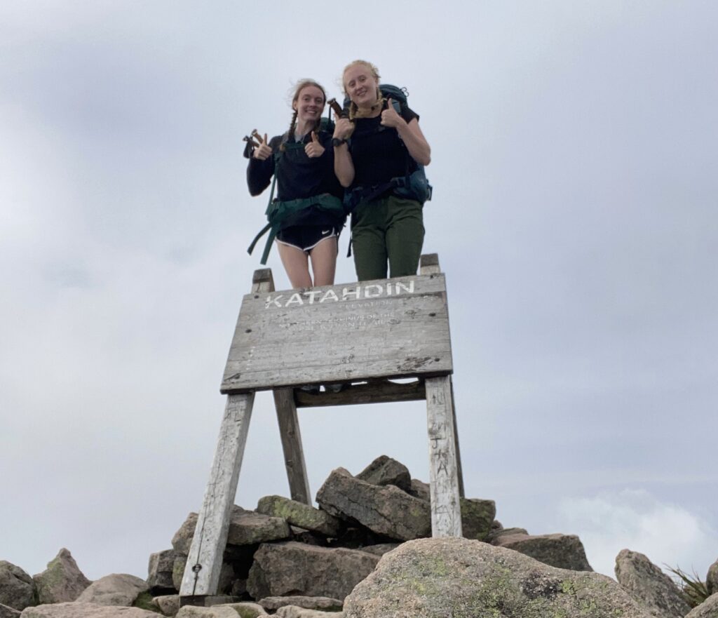
On July 29th, 2024, my friend Emilia and I got dropped off in Baxter State Park and began our hike. We decided to take the Chimney Pond Trail and Knife’s Edge Trail to get to the starting point of the Appalachian Trail, which is Baxter Peak on Mount Katahdin. While this was a bit more challenging logistically, it meant we didn’t have to take the same trail up and down the mountain. Most people start at Katahdin Stream Campground and take the Hunt Trail both ways.
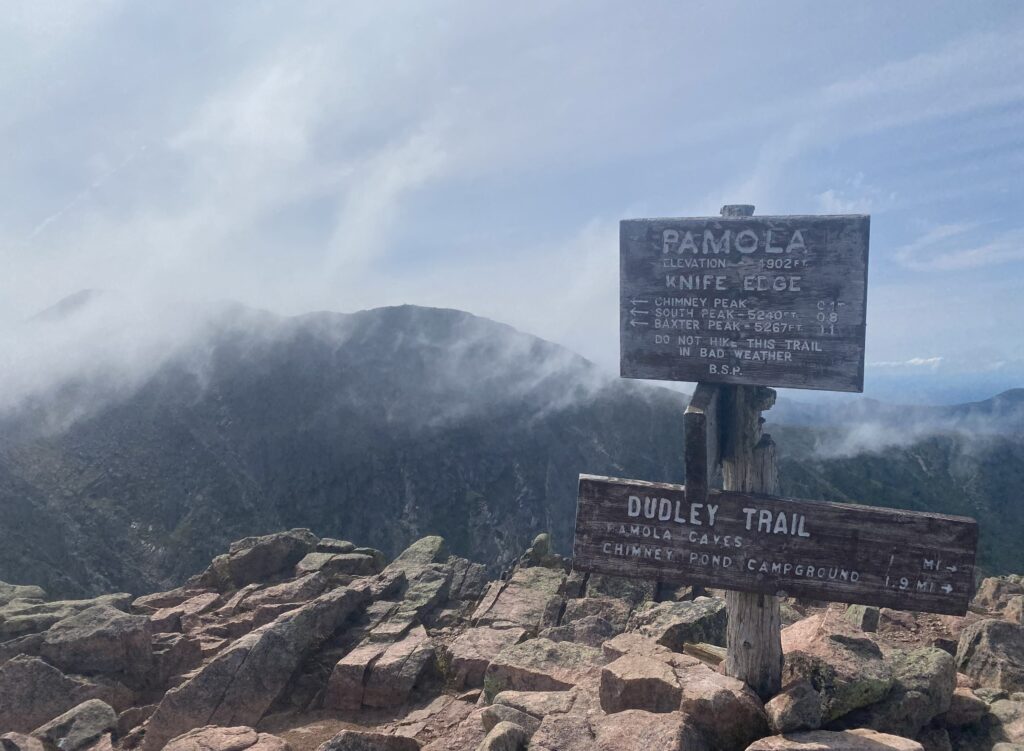
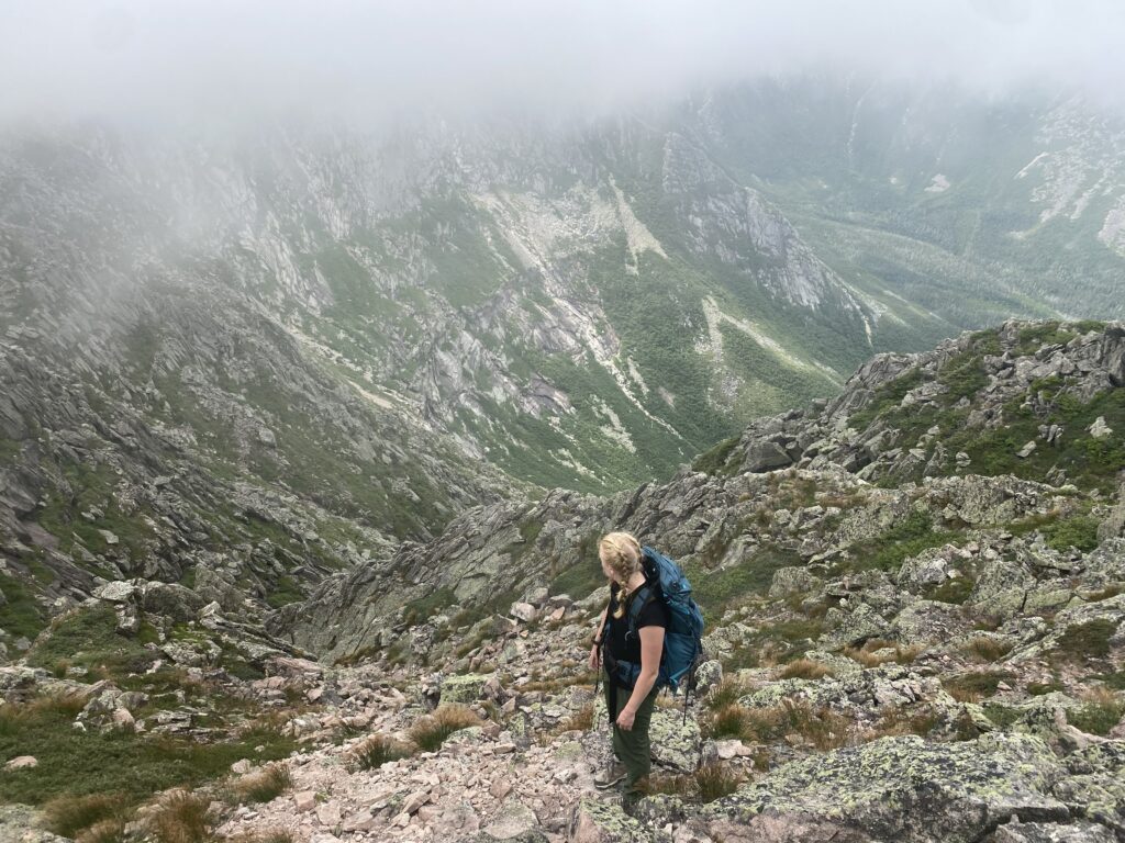
Emilia wasn’t a huge fan of the Knife’s Edge Trail. It was a very rocky, steep ridgeline with bad consequences if you lose your balance. After a long few miles, we eventually made it to the starting point!
We got a bit of a late start on our first day and walked down part of Katahdin in the dark. The next morning, we hiked out of Baxter State Park and camped at Abol Pines Campground, which is about a mile away from the start of the 100-mile wilderness. Sadly, after some back and forth indecision, Emilia decided to head home.
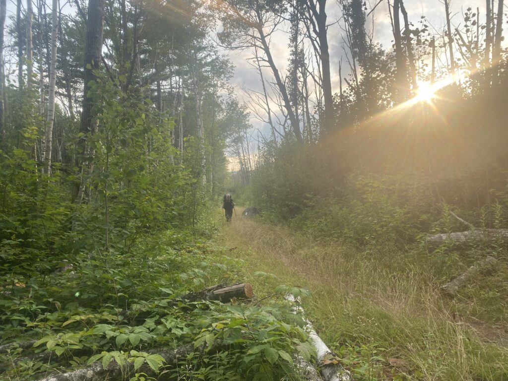
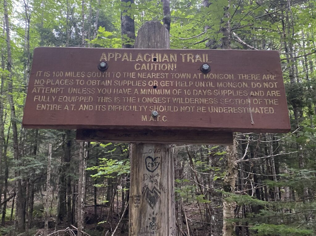
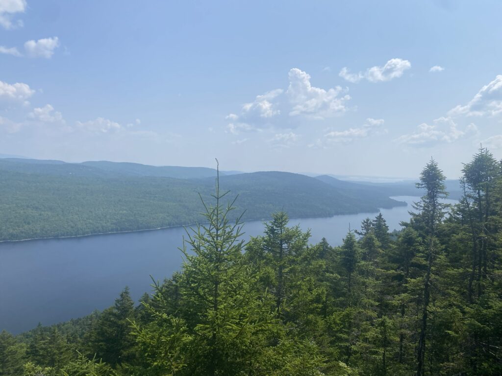
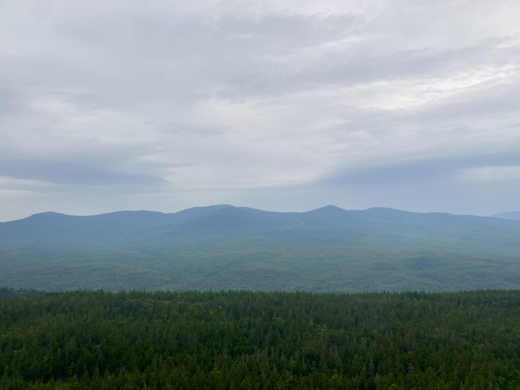
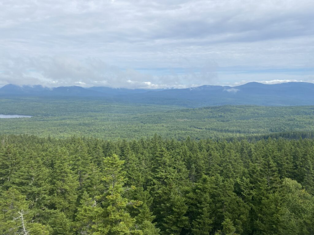
The 100-mile wilderness is the most remote section of the Appalachian Trail, and the longest section without any place to resupply food. One of the main reasons people decide to go northbound is to give themselves plenty of time to prepare before reaching this section. It’s very hard to quit in the middle of the 100-mile wilderness.
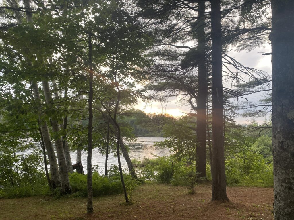
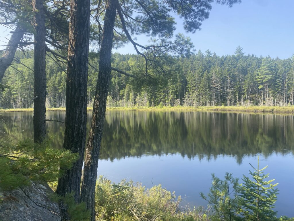
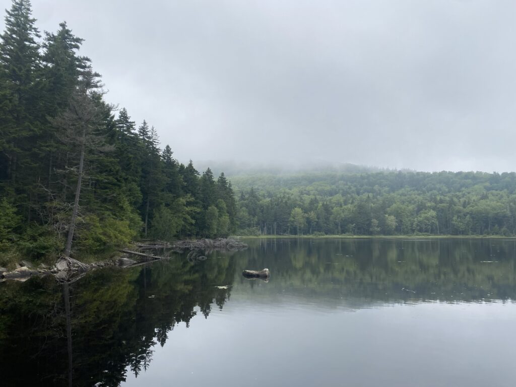
The 100-mile wilderness is relatively flat and full of lakes. There are usually a ton of mosquitoes and black flies, but I started late enough to miss the worst of it.
Halfway point to Monson!
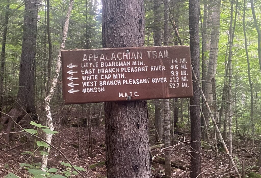
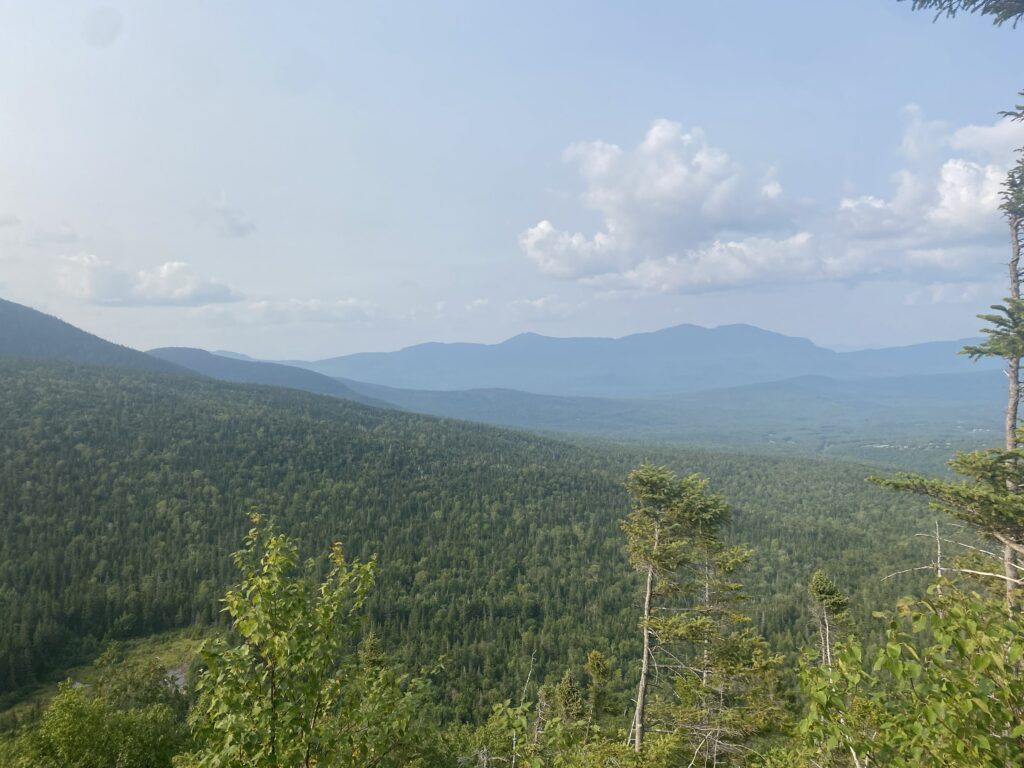
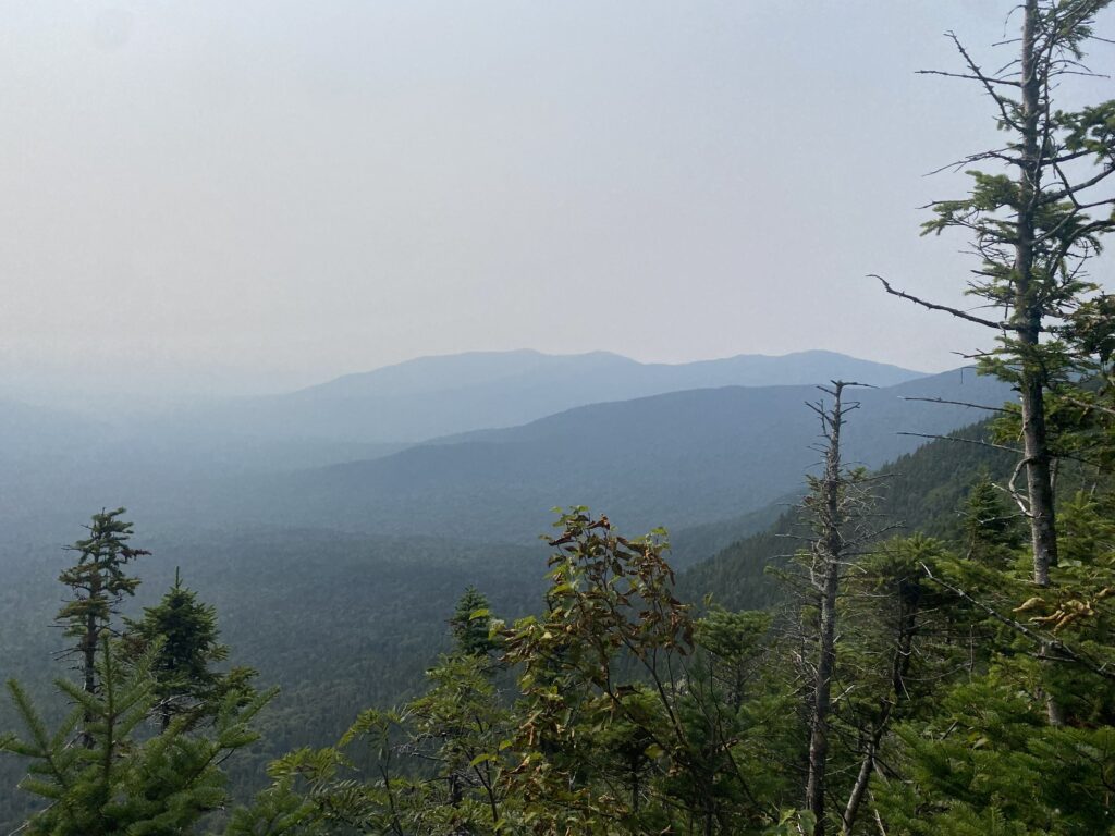
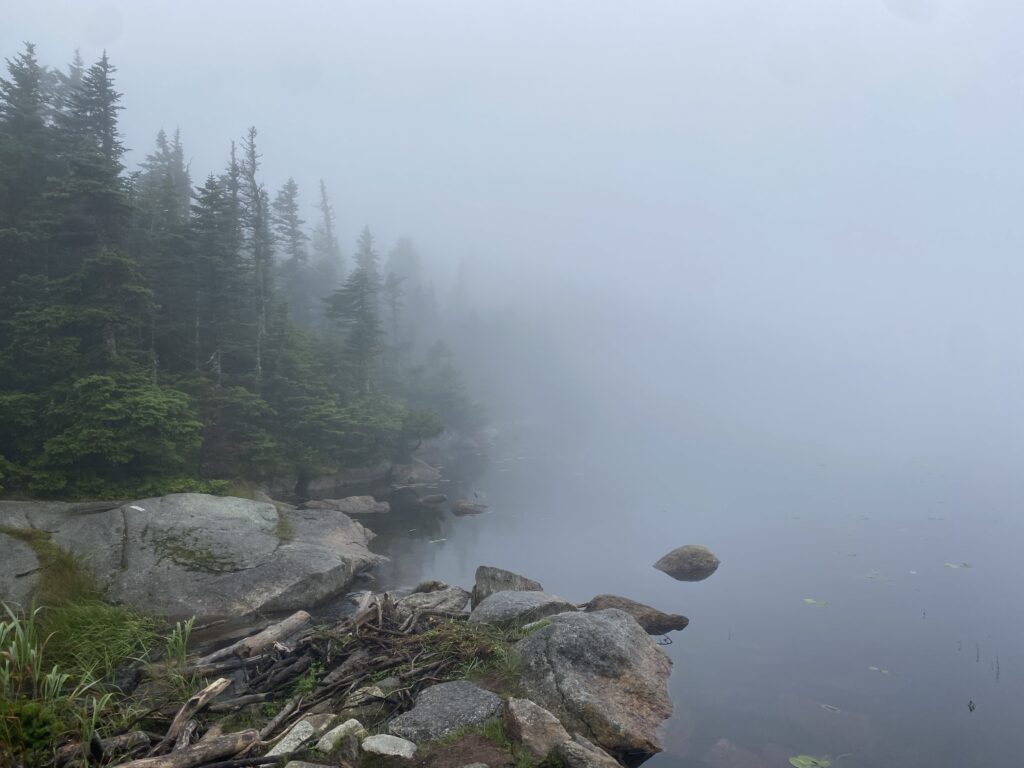
Northern Maine is extremely remote.
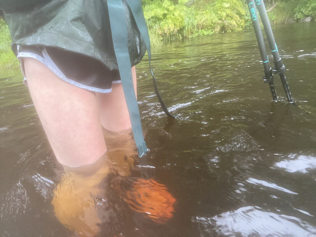
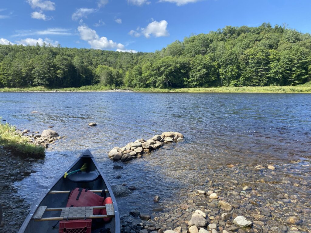
I made it to Monson and bought a new tent! The tent I started with was a two-person awkwardly shaped tent that got caught on trees when I walked through narrow sections. It was also very heavy when it rained. Maine has a ton of unbridged river crossings (about 21, even more if you get lost like I did).
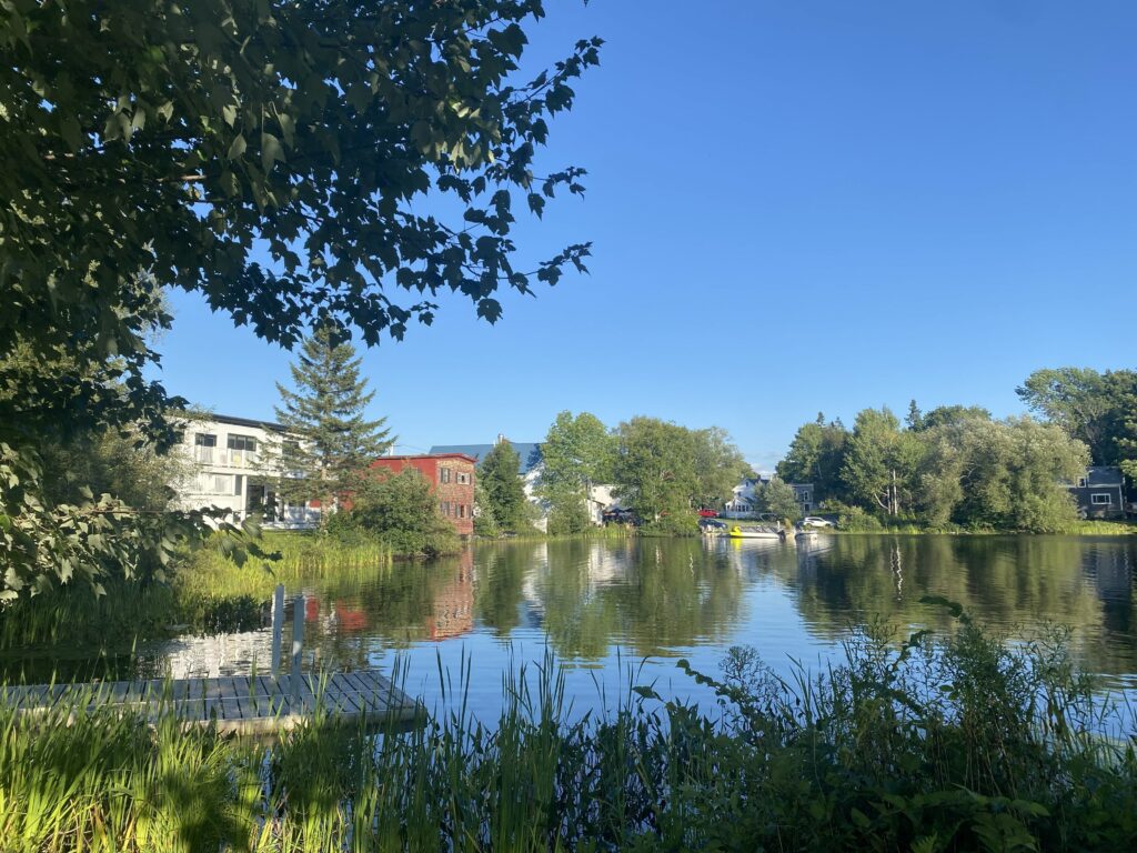
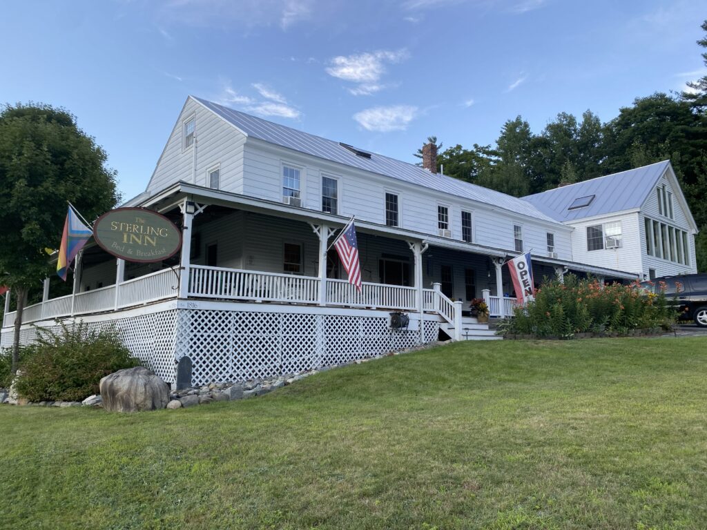
I really liked the town of Caratunk. It was very relaxing and had one of my favorite hiker hostels on the entire trail (The Sterling Inn). I wasn’t planning on staying here, but you are required to take a “ferry” (a person canoeing you) across the Kennebec River. I didn’t realize this and got here after the canoe person had left for the day.
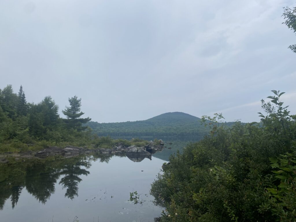
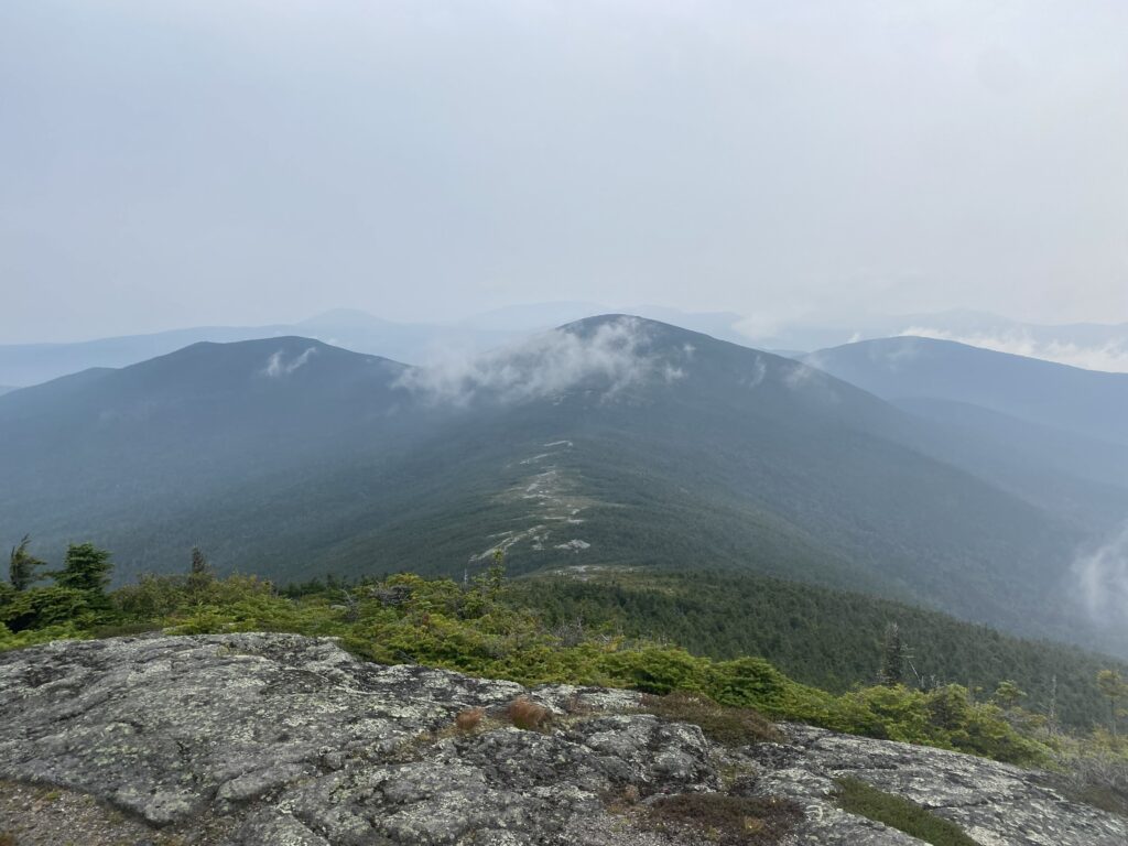
The Carrabassett Valley area is really pretty.
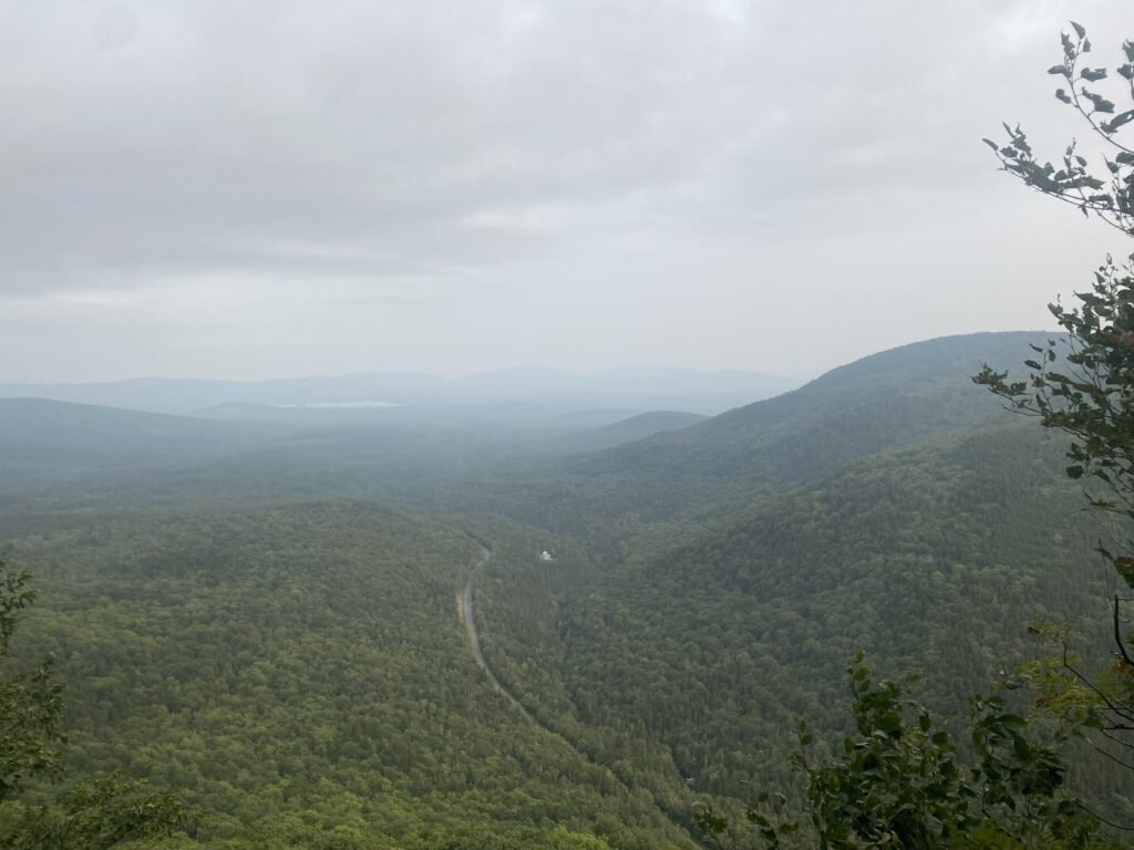
I like when roads go through the middle of nowhere. The road in the third picture seems like a road that would be in a Stephen King book. Or perhaps the road in his short story, “One for the Road”. Luckily it was not snowing, and I didn’t see any vampires.
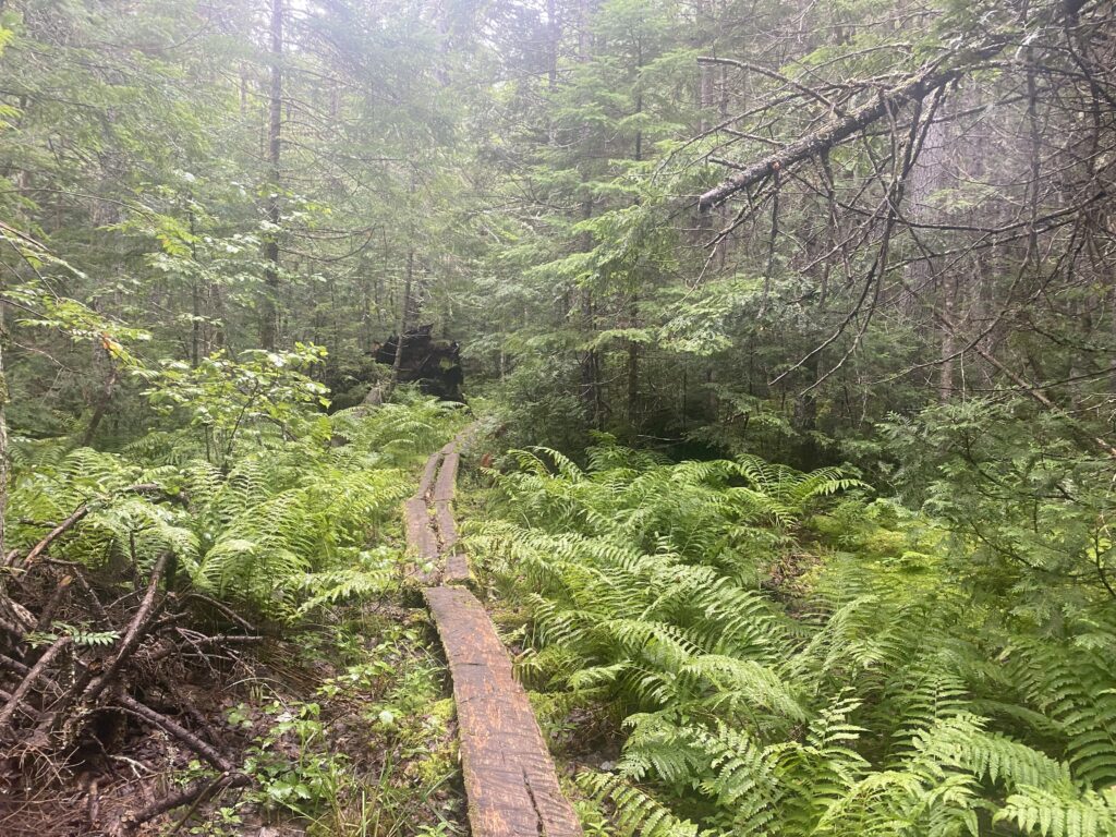
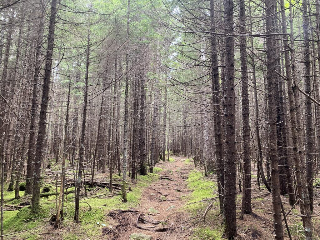
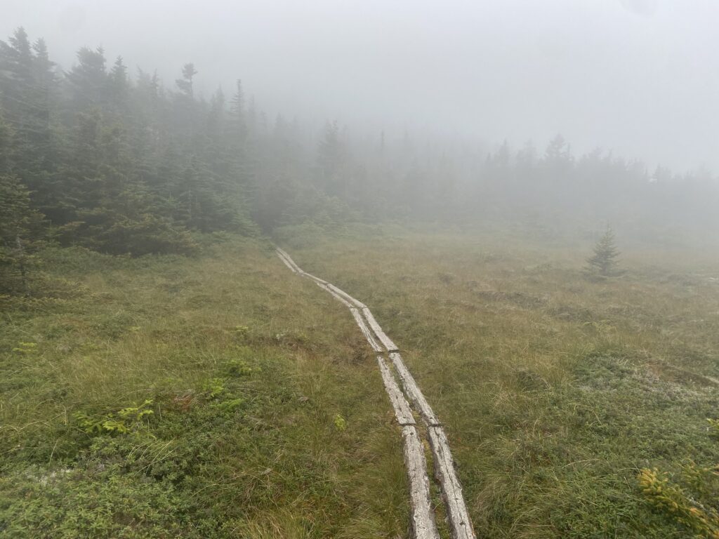
More lakes and wooden walking planks that should’ve been replaced a long time ago.
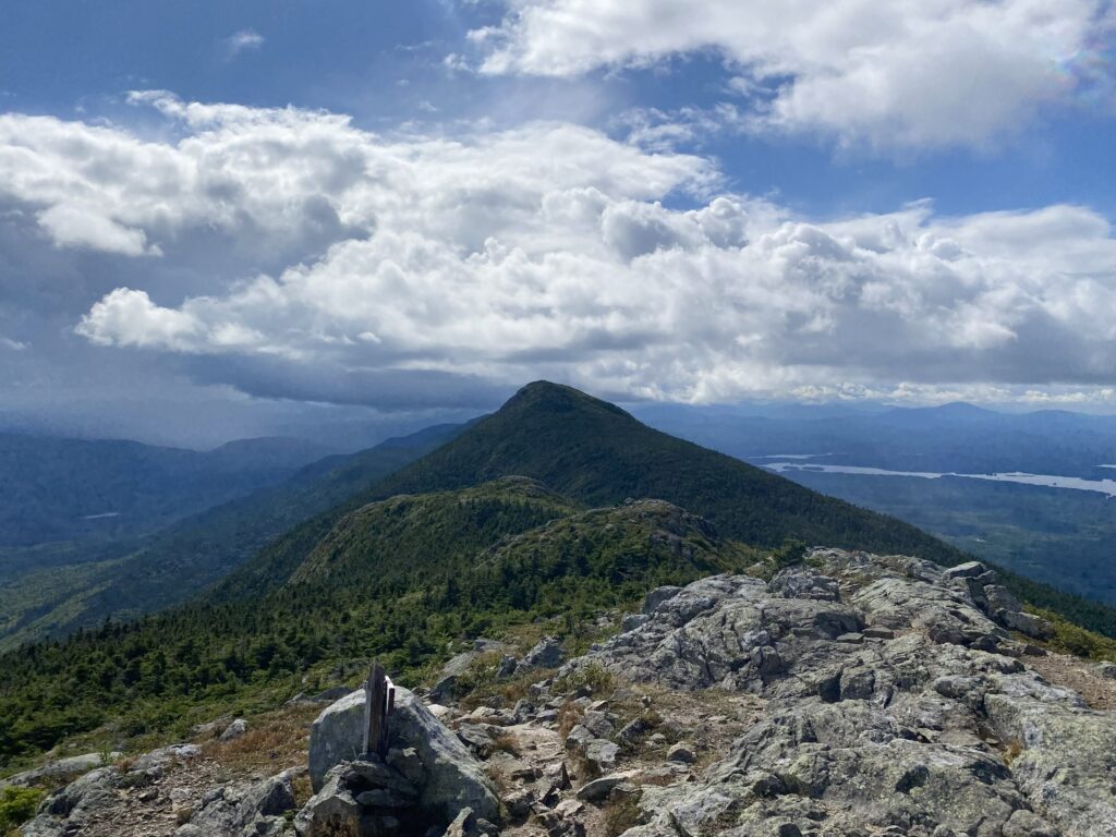
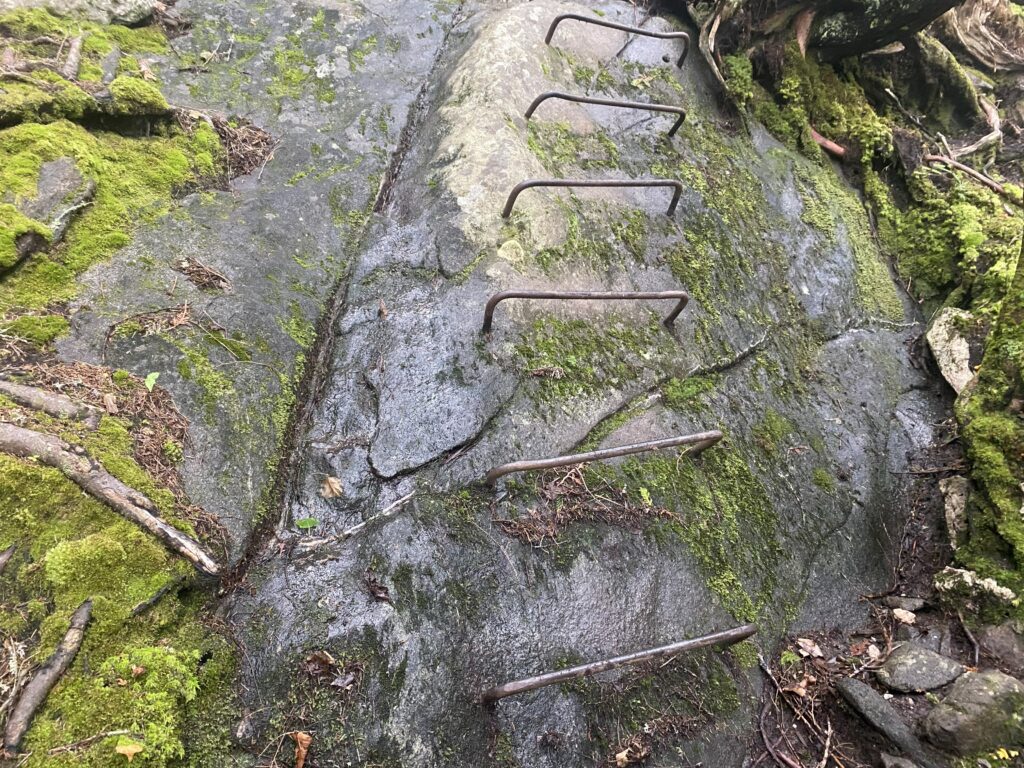
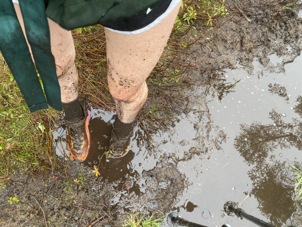
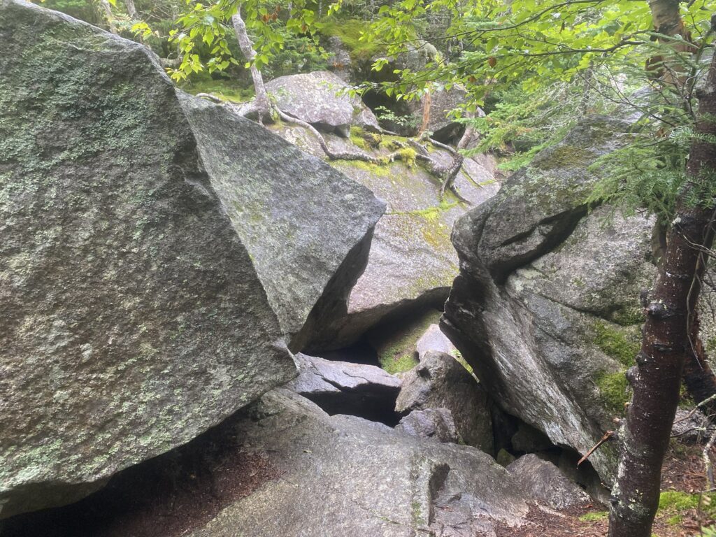
Southwestern Maine is very rocky, muddy, and challenging. I slipped off a wooden plank into a bog and had a slippery experience going through Mahoosuc Notch (the hardest mile of the Appalachian Trail).
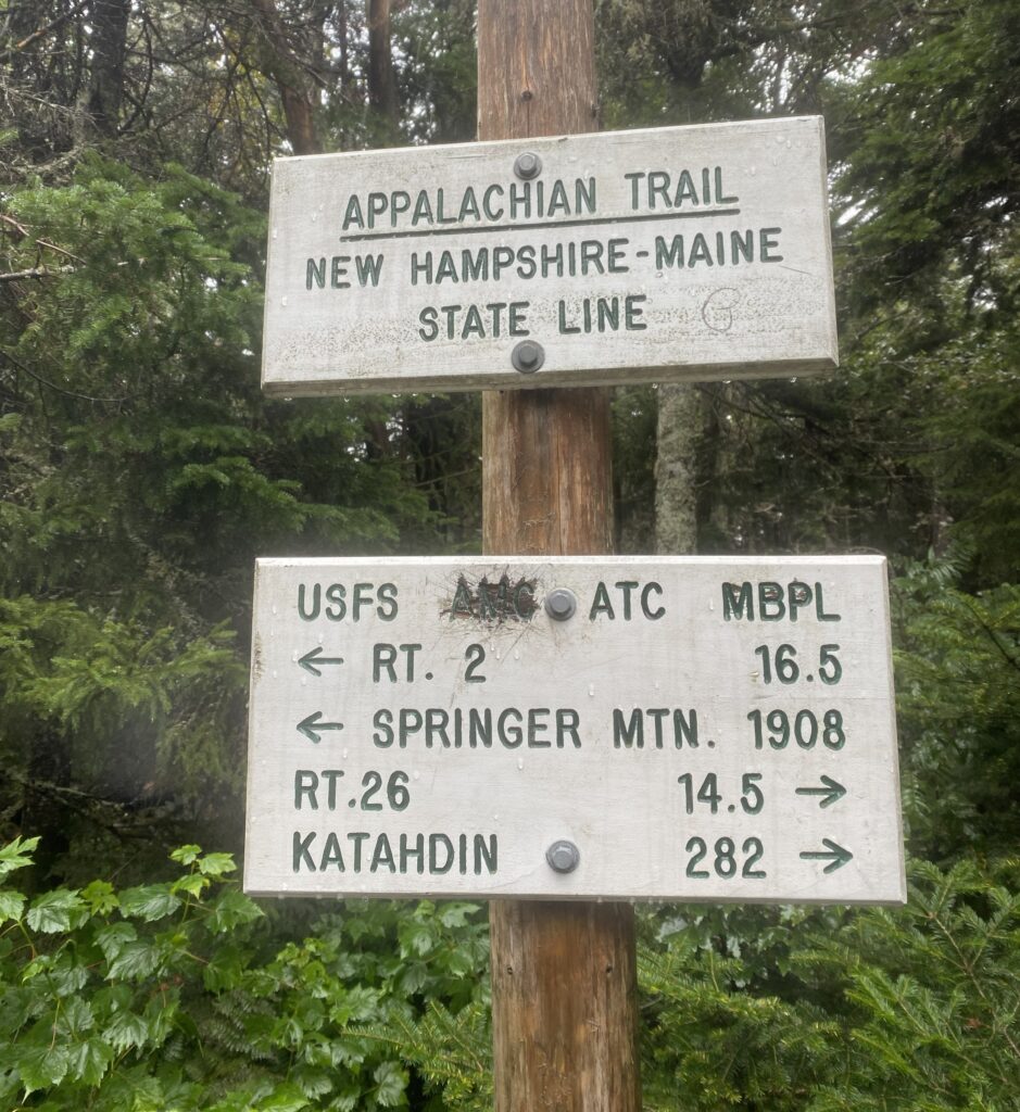
Eventually I made it to New Hampshire!
Maine was remote, rocky, muddy, and poorly maintained. I thoroughly enjoyed it, except for some of the rock scrambles in the southwest during a week-long downpour. I definitely want to force Emilia to hike the 100-mile wilderness with me at some point in the future during the fall.
“You can, you should, and if you’re brave enough to start, you will”.
Leave a Reply